White ring is stark reminder of Lake Mead water drought
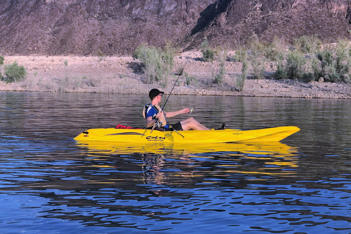
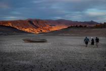
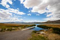
For anyone visiting Lake Mead, the seemingly ever-growing white ring along its shoreline is hard to miss.
Comprised of minerals deposited on rocks and cliff faces when the water level was much higher, the light-colored ring stands out in stark contrast to the brown and black rocks that cover much of the surrounding landscape. Even at night.
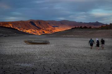
Now more than two decades old, the ring is a visual reminder of the drought that has held the Southwest in its viselike grip for more than two decades.
During that time, Lake Mead has dropped nearly 143 feet from an elevation of 1,214.14 feet in 2000 to 1,071.77 feet as of Tuesday, according to Bureau of Reclamation records. That makes Lake Mead about 37 percent full.
Lake Powell, Mead’s sister reservoir to the north and a popular destination for Nevada boaters and anglers, isn’t faring any better. It’s 34.66 percent full.
According to LakePowell.water-data.com, rivers feeding Lake Powell and eventually Lake Mead are flowing at 29.58 percent of average.
Maps generated by The National Integrated Drought Information System are quite telling because they make it easy for outdoor enthusiasts to see the extent of the drought’s reach.
The NIDIS estimates that nearly 41 percent of Nevada falls within its “Exceptional Drought” designation, and much of the impacted area matches up with the exceptional drought area in neighboring Utah.
About 62 percent of Utah falls within that designation and nearly 58 percent of Arizona.
According to the NIDIS, when drought conditions reach the exceptional stage, “Boat ramps close; trout fishing limits are lifted; wildlife populations decline; producers haul water for wildlife … fire danger increases; restrictions are enacted earlier than usual.” In some instances, events are canceled.
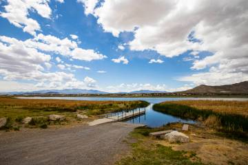
In Southern Nevada, boaters have seen the drought’s impacts on launch ramps.
As the water level in Lake Mead drops, the National Park Service is forced to make adjustments and repairs to ramps, primarily to protect boaters.
The ramps at Las Vegas Bay and Government Wash were the drought’s first victims, closing in 2001 and 2003. Overton Beach followed in 2010.
Today, Hemenway Harbor is closed, but the closure is expected to be temporary.
Boulder Harbor and Callville Bay are open with multiple lanes available on concrete. A temporary closure for maintenance is planned at Callville Bay on Tuesday. Echo Bay is down to a single lane on pipe mats with a maintenance closure scheduled for Friday.
In the upper basin, Temple Bar and South Cove both have one lane open with pipe mats. Expect a maintenance closure at South Cove on Monday.
The National Park Service is encouraging boaters to check conditions before attempting to launch their boat.
At this point, no changes have been made to fish limits in Nevada, but the Utah Division of Wildlife Resources said in a news release that it has adjusted limits on several waters, including some frequented by Nevada anglers.
“In an effort to reduce any potential fish die-off in some of the waterbodies with anticipated low water levels, the DWR is increasing some of the daily fish limits to allow anglers to harvest and utilize more fish in these specific waterbodies,” the DWR said. “The DWR will also be decreasing fish stocking in the affected lakes and reservoirs to minimize the amount of fish that may die as a result of the anticipated low water levels.”
Stream fishermen can expect to find trout on the skittish side as water levels drop.
Look for fish in deeper water as they seek respite from the summer heat and hide from predators.
Freelance writer Doug Nielsen is a conservation educator for the Nevada Department of Wildlife. His “In the Outdoors” column is not affiliated with or endorsed by the NDOW. Any opinions are his own. Find him on Facebook at @dougwritesoutdoors. He can be reached at intheoutdoorslv@gmail.com.


