Scientists prepare to debate danger of Yucca Mountain’s volcanic neighbors







A renewed push to bury the nation’s most dangerous nuclear waste northwest of Las Vegas could hinge on competing scientific theories about the hazards of nearby volcanoes.
If federal regulators endorse Nevada’s scientific challenge to Washington’s plans to build a repository at Yucca Mountain, the tomb for at least 77,000 tons of highly radioactive waste would not be built.
But if they side with Department of Energy scientists during expected licensing hearings and don’t find other reasons to derail the massive project 100 miles from Las Vegas, construction could begin.
In either case, the arguments for and against a Yucca Mountain repository would be based on arcane computer models of what might or might not happen over a million years, using data gleaned from an inexact science — geology — that’s fraught with ambiguity.
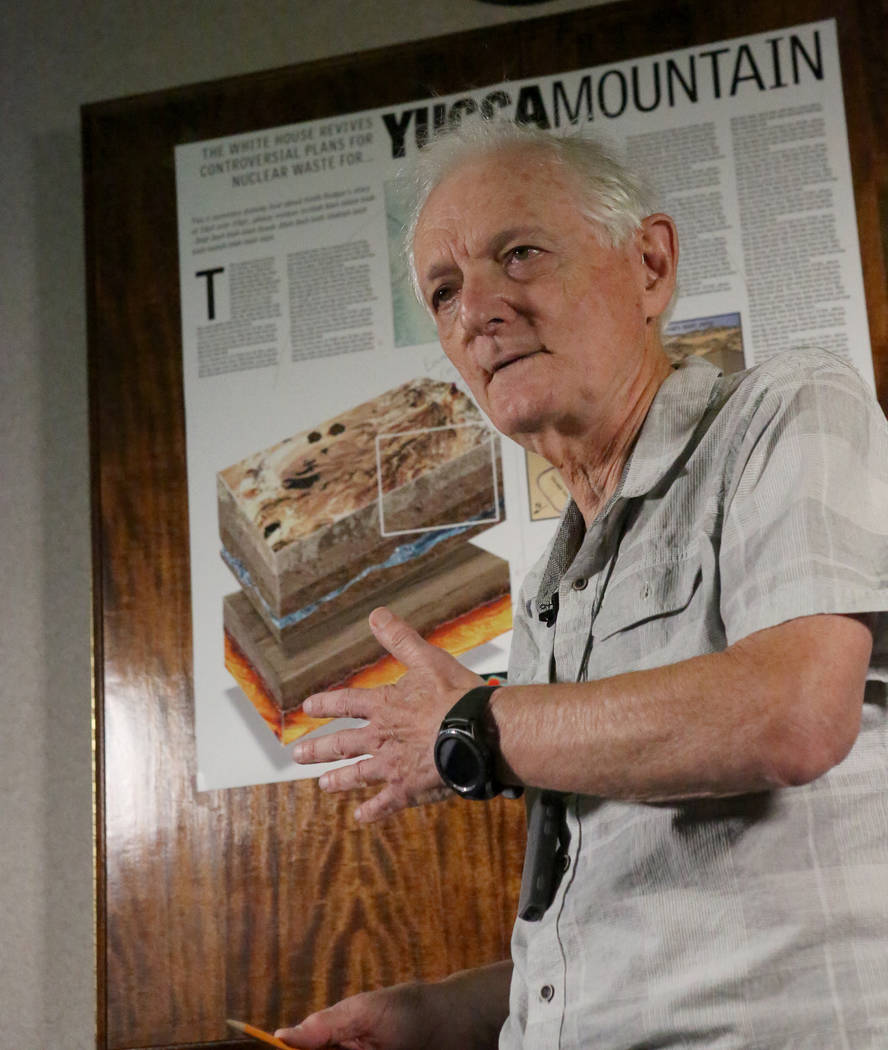
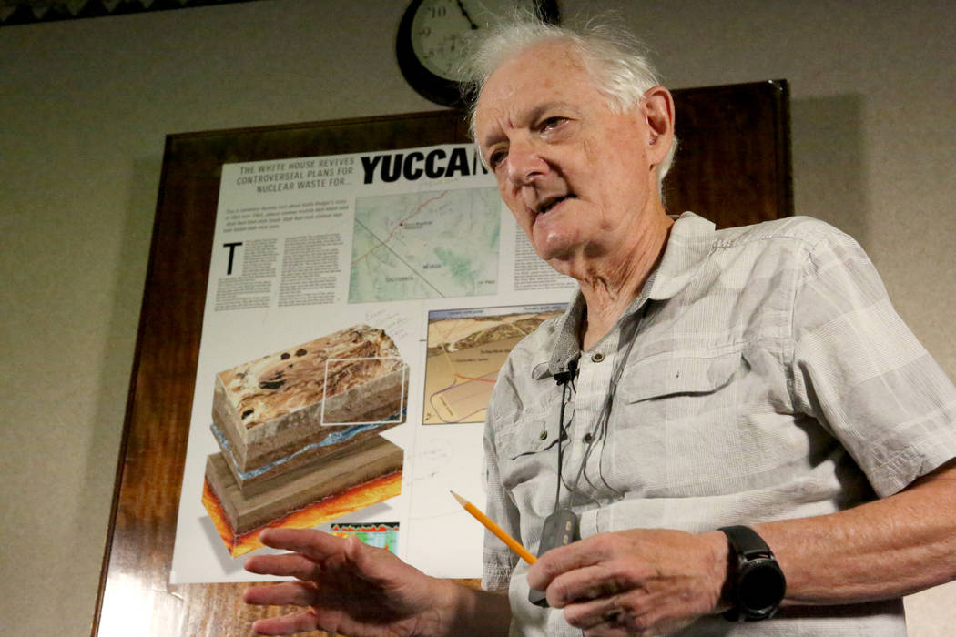
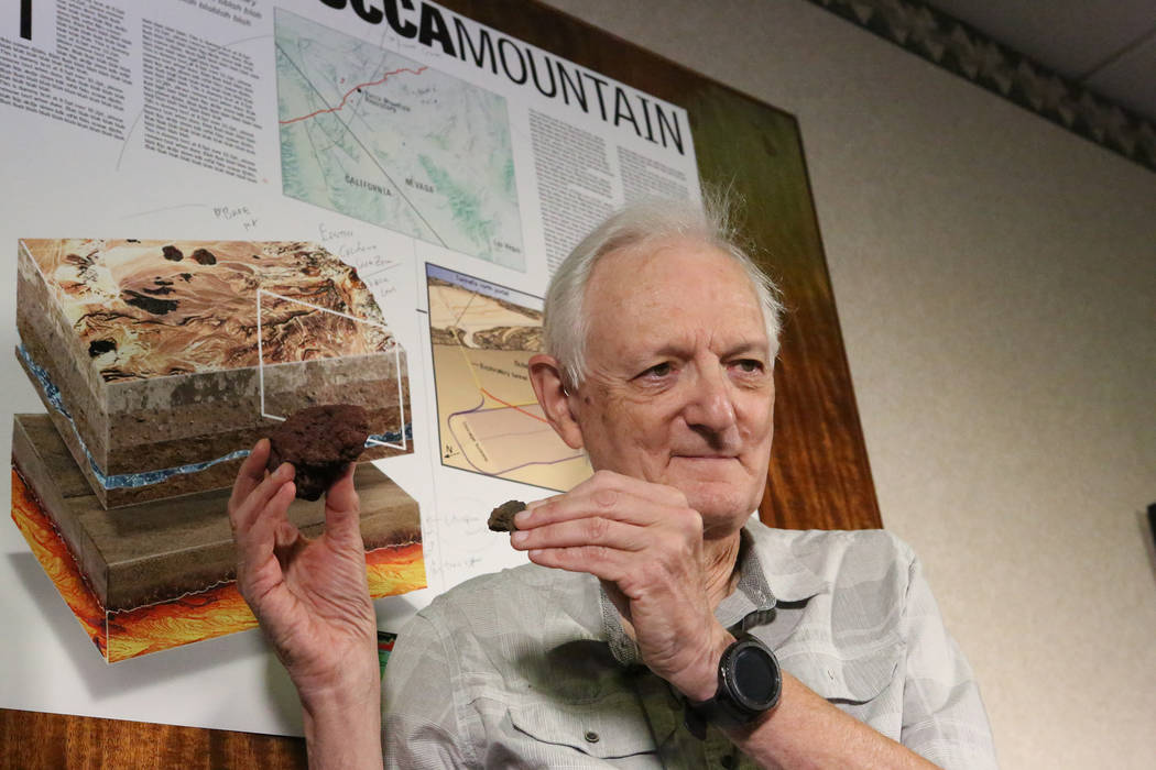
“It’s an uncertainty trade-off,” acknowledges Bruce Crowe, a volcanologist from Henderson who worked for the DOE team until he retired from the Los Alamos National Laboratory in 2007. “So it’s defined as decision-making under uncertainty. That’s what the issue is.”
Volatile neighbors
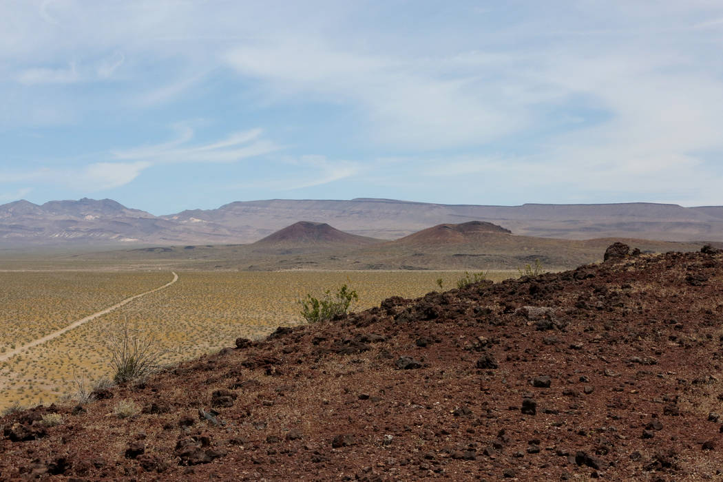
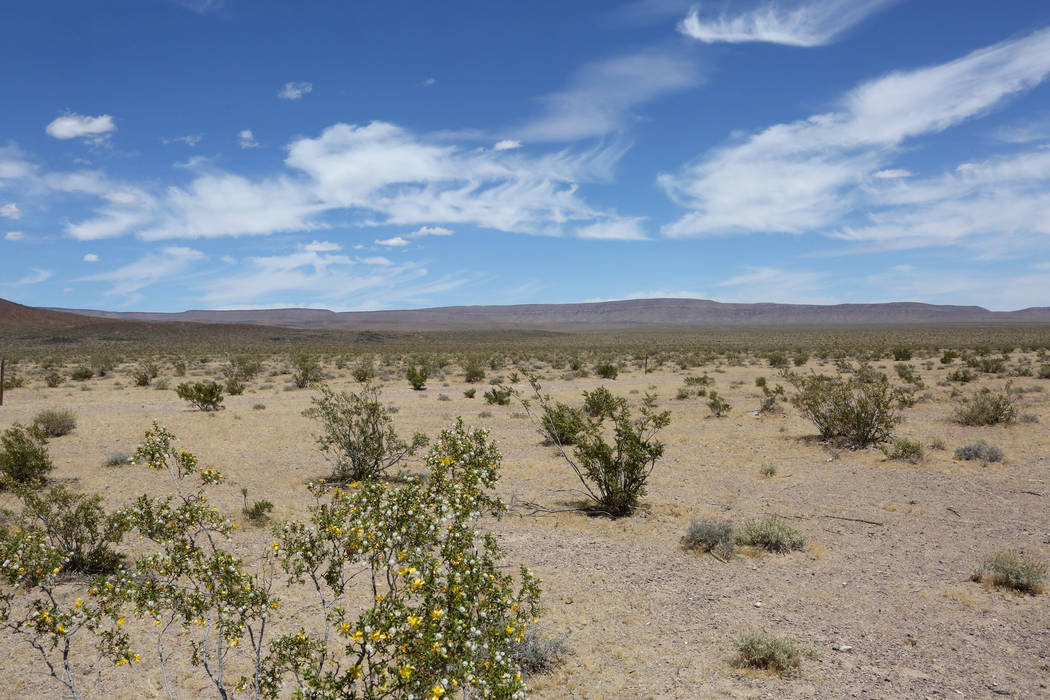
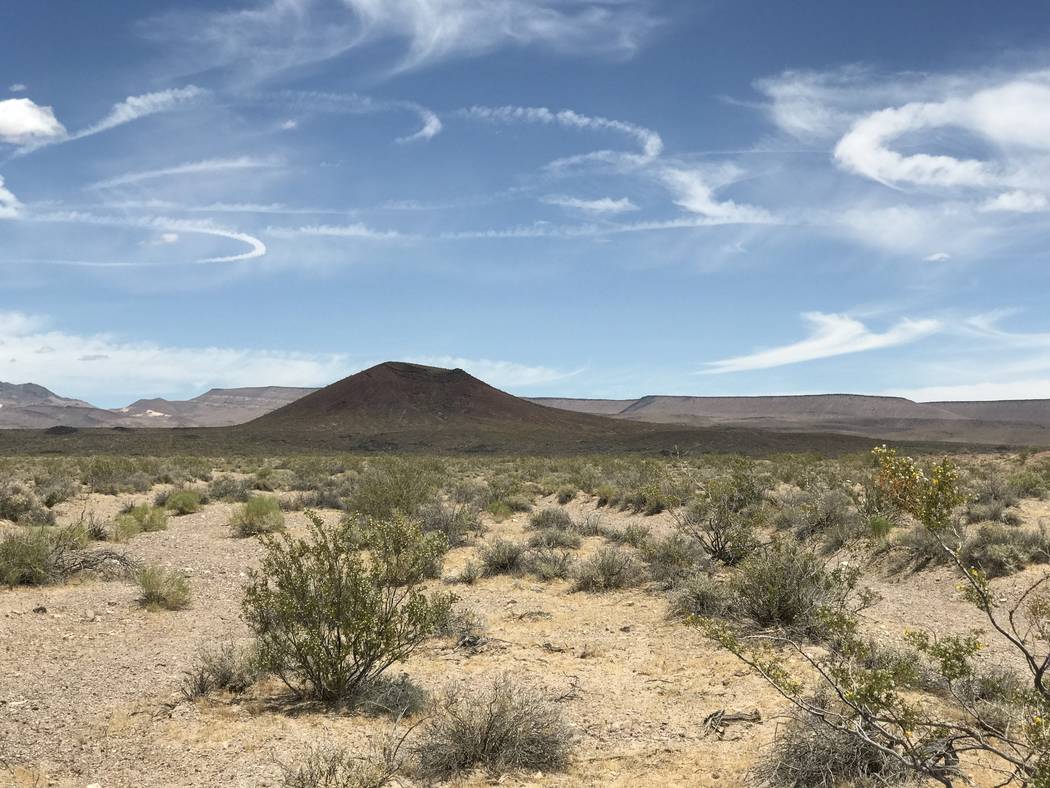
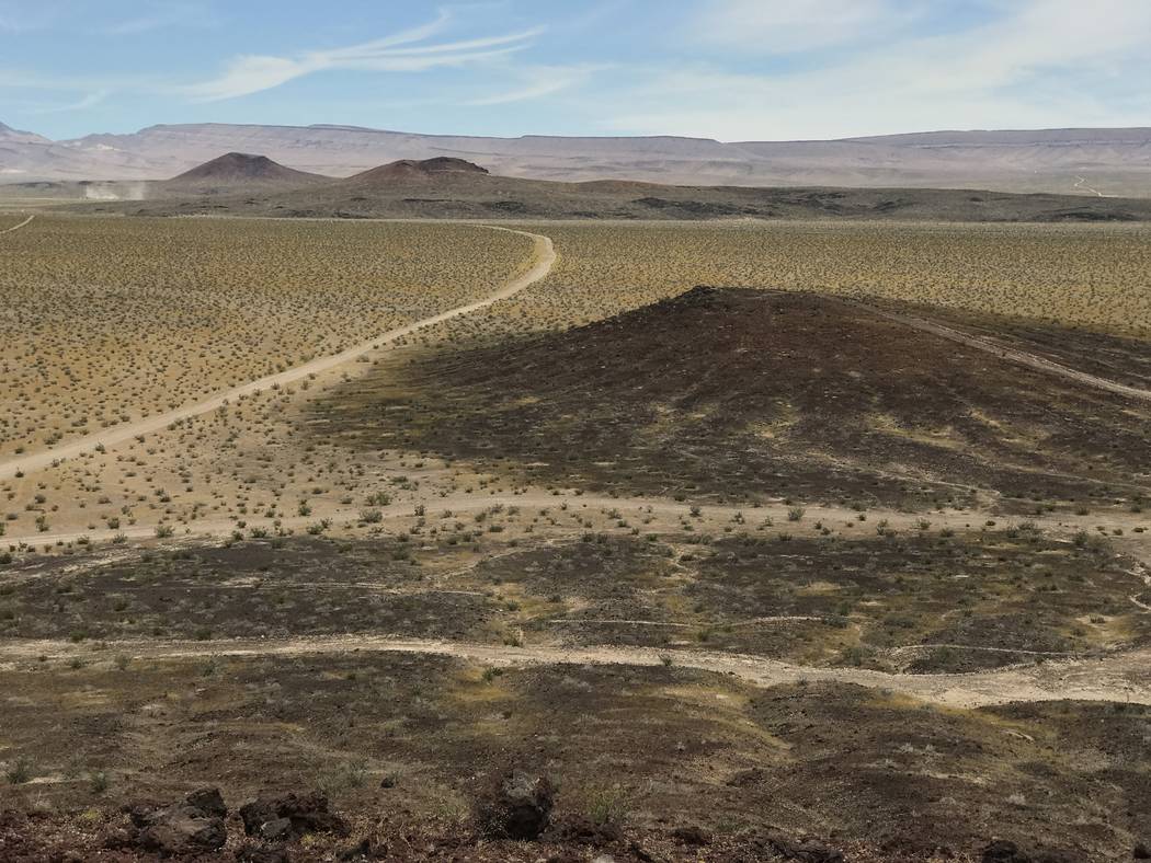
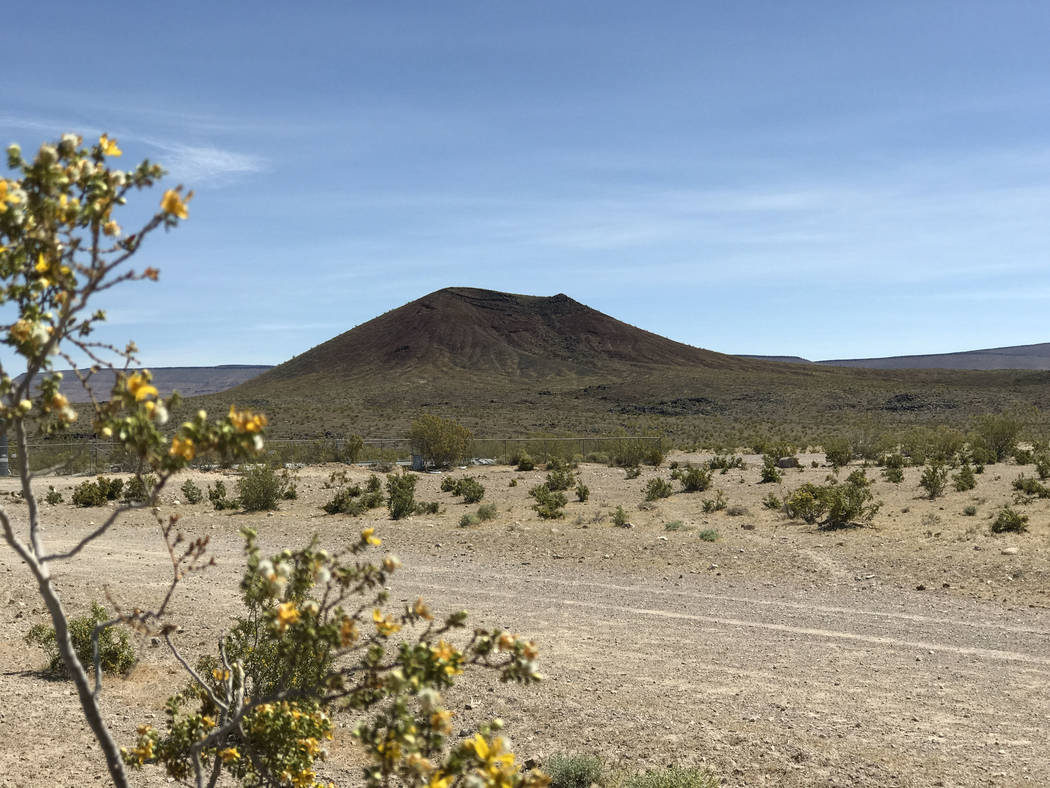
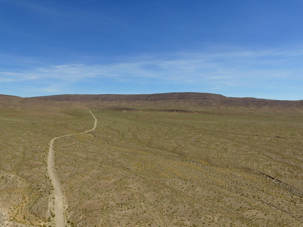
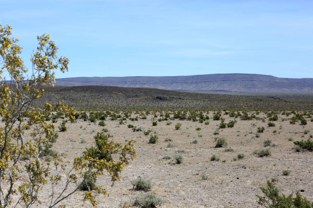
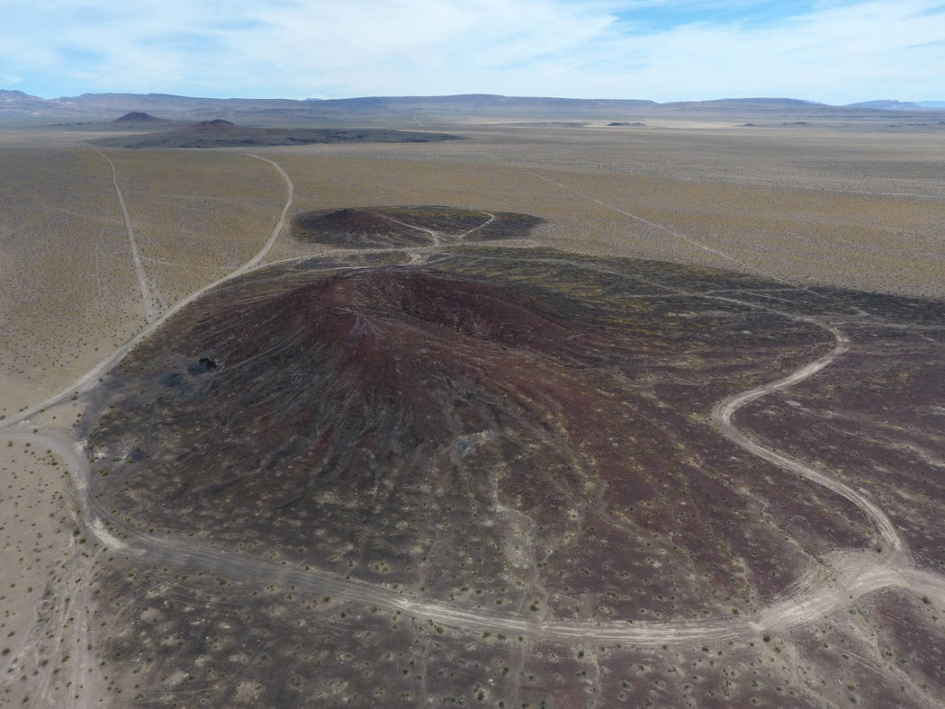
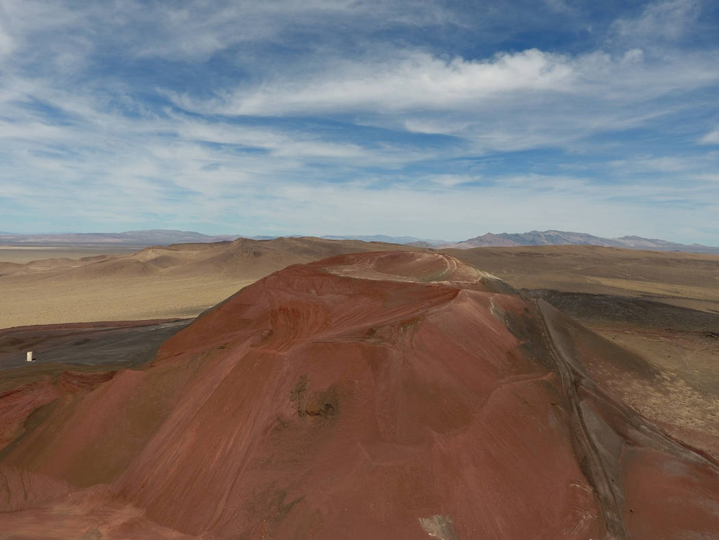
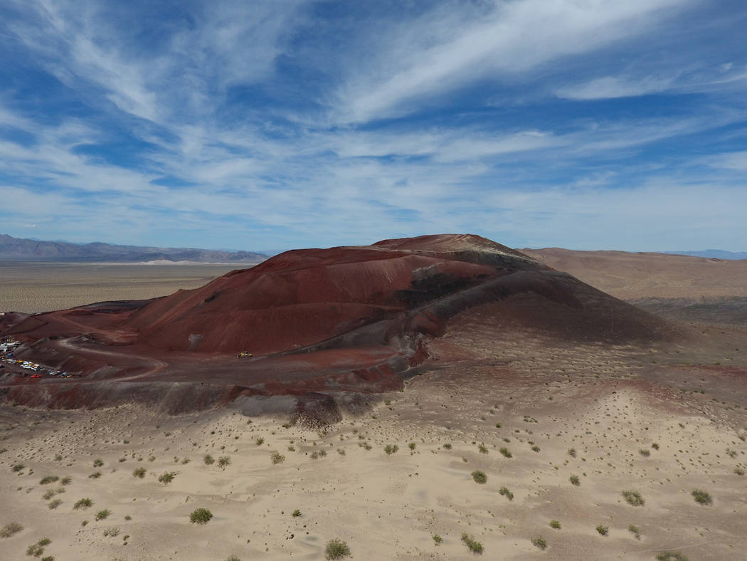
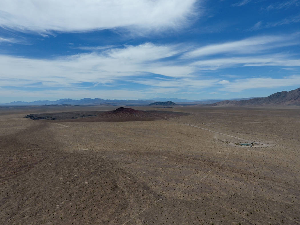
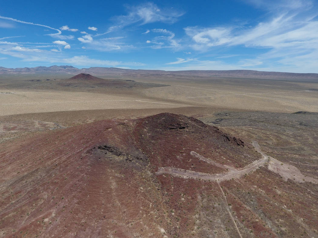
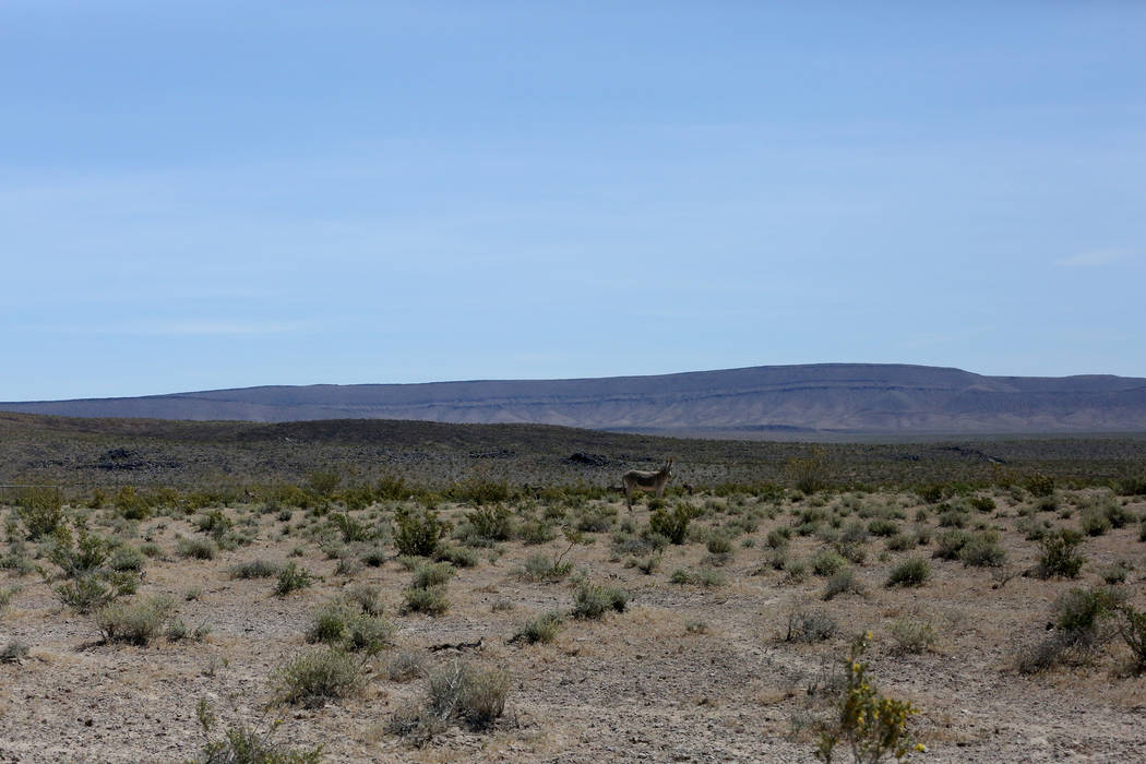
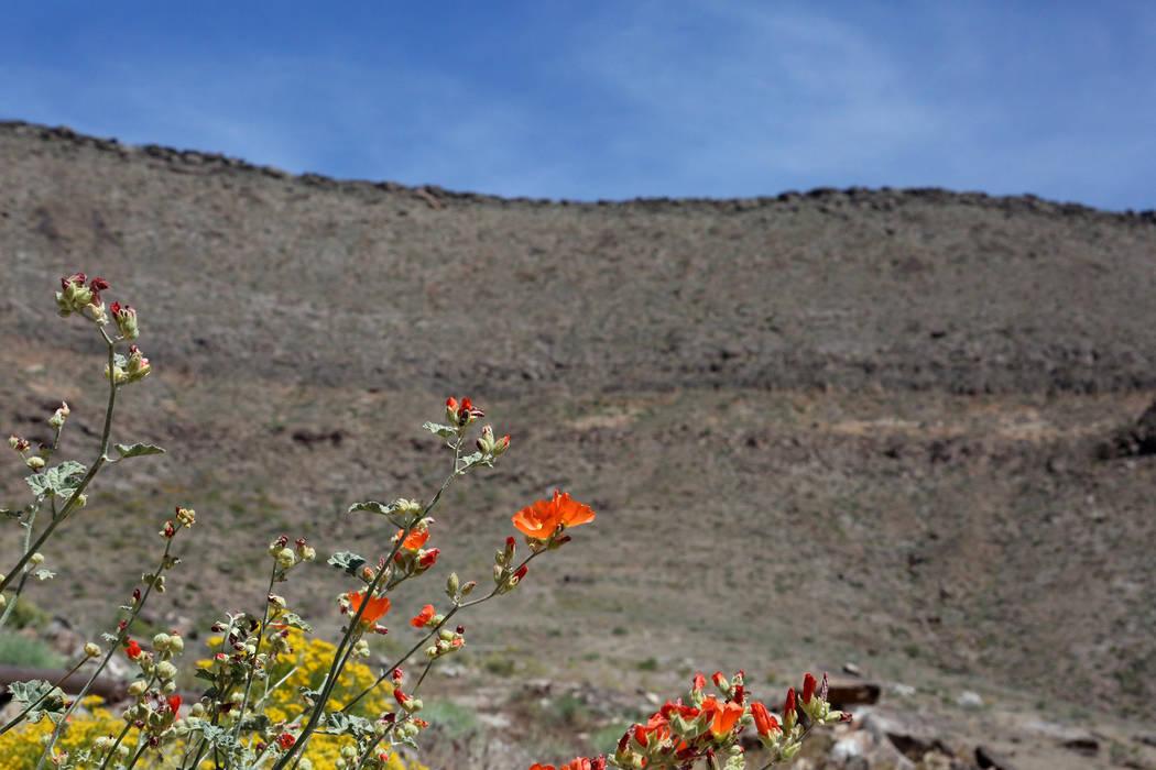
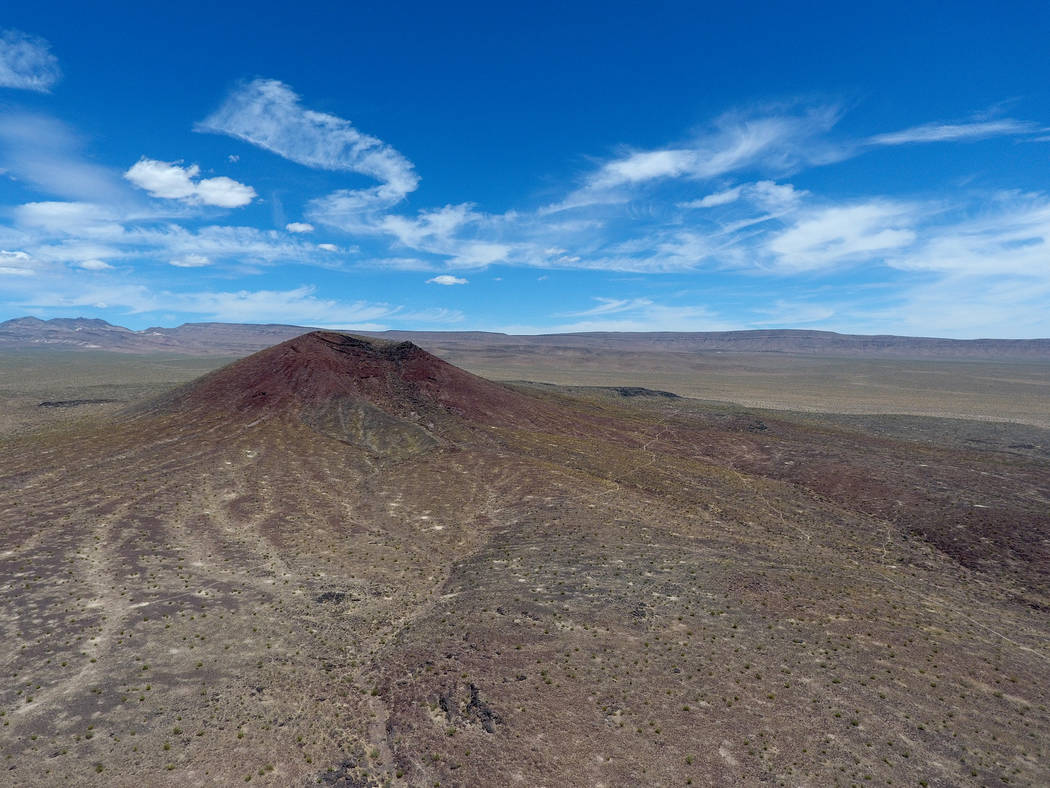
Volcanoes with names like Red Cone and Black Cone have dozed harmlessly for hundreds of thousands of years just a few miles west of Yucca Mountain, in a remote part of Nye County known as Crater Flat.
Before that, they oozed lava from deep below the Earth’s crust and rained rocks and ash over the Amargosa Desert. If they were to awake and do so again, with a repository full of spent fuel from private nuclear power and government defense reactors nearby, the results could be calamitous.
If the Trump administration and Congress follow through on plans to revive the Yucca Mountain Project by restarting lengthy Nuclear Regulatory Commission licensing hearings, one of the state’s new technical challenges — in addition to 218 “contentions” accepted so far by the NRC — will argue that federal scientists failed to look at a big-picture model when evaluating volcano and earthquake hazards in the area.
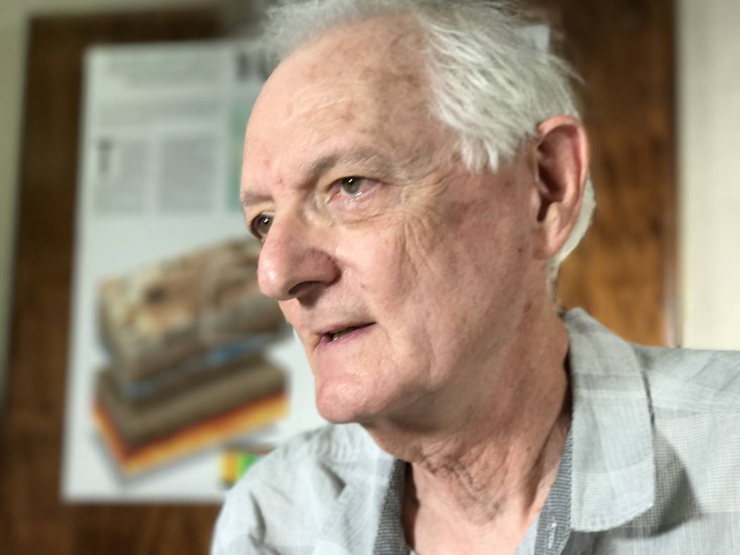
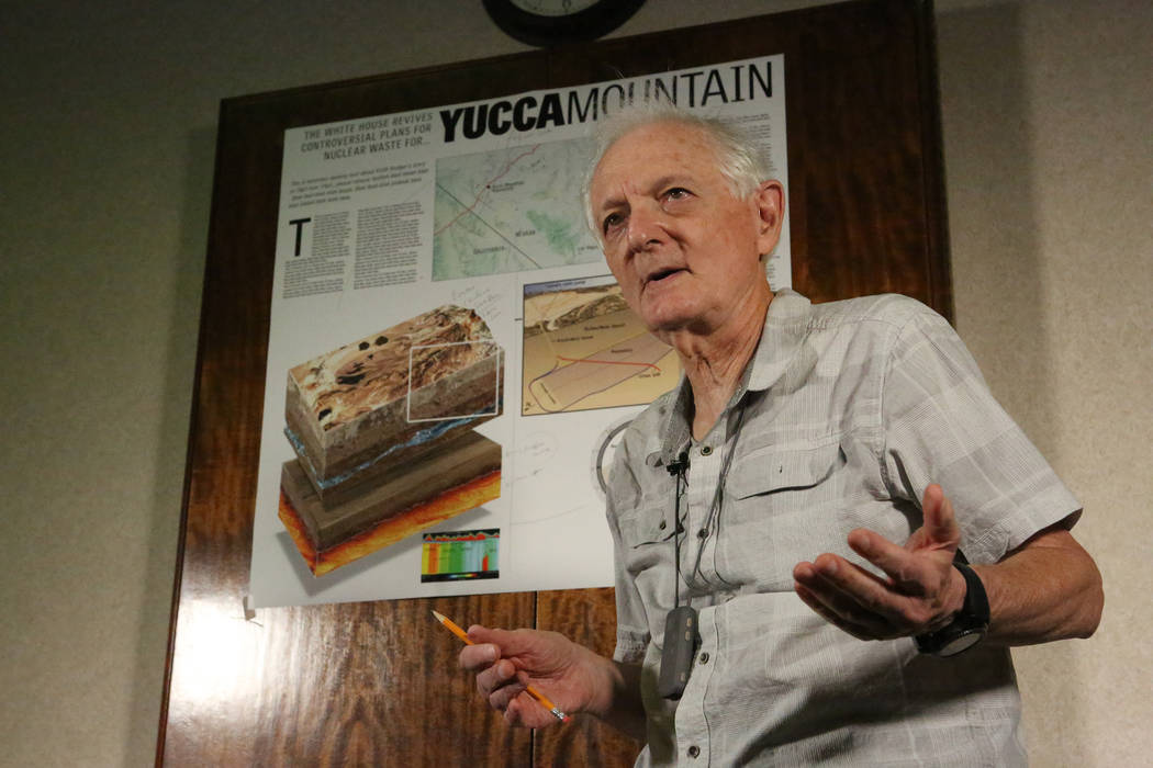
“We feel that volcanism and seismic activity are major problems for putting a repository at Yucca Mountain and should be considered as major risks,” said Eugene Smith, a professor emeritus of geology at UNLV and a volcanism expert for the Nevada Agency for Nuclear Projects. He said the two subjects need to be considered together because fault lines can become lava conduits in the event of an eruption.
The state’s scientists are prepared to argue in the courtlike licensing proceedings that the federal government’s theory that the volcanoes were fed by lava that flowed from the upper mantle’s top layer — the lithosphere — is incorrect. Instead, they would contend, the eruptions originated in a deeper zone, known as the asthenosphere.
Think of raisin pudding
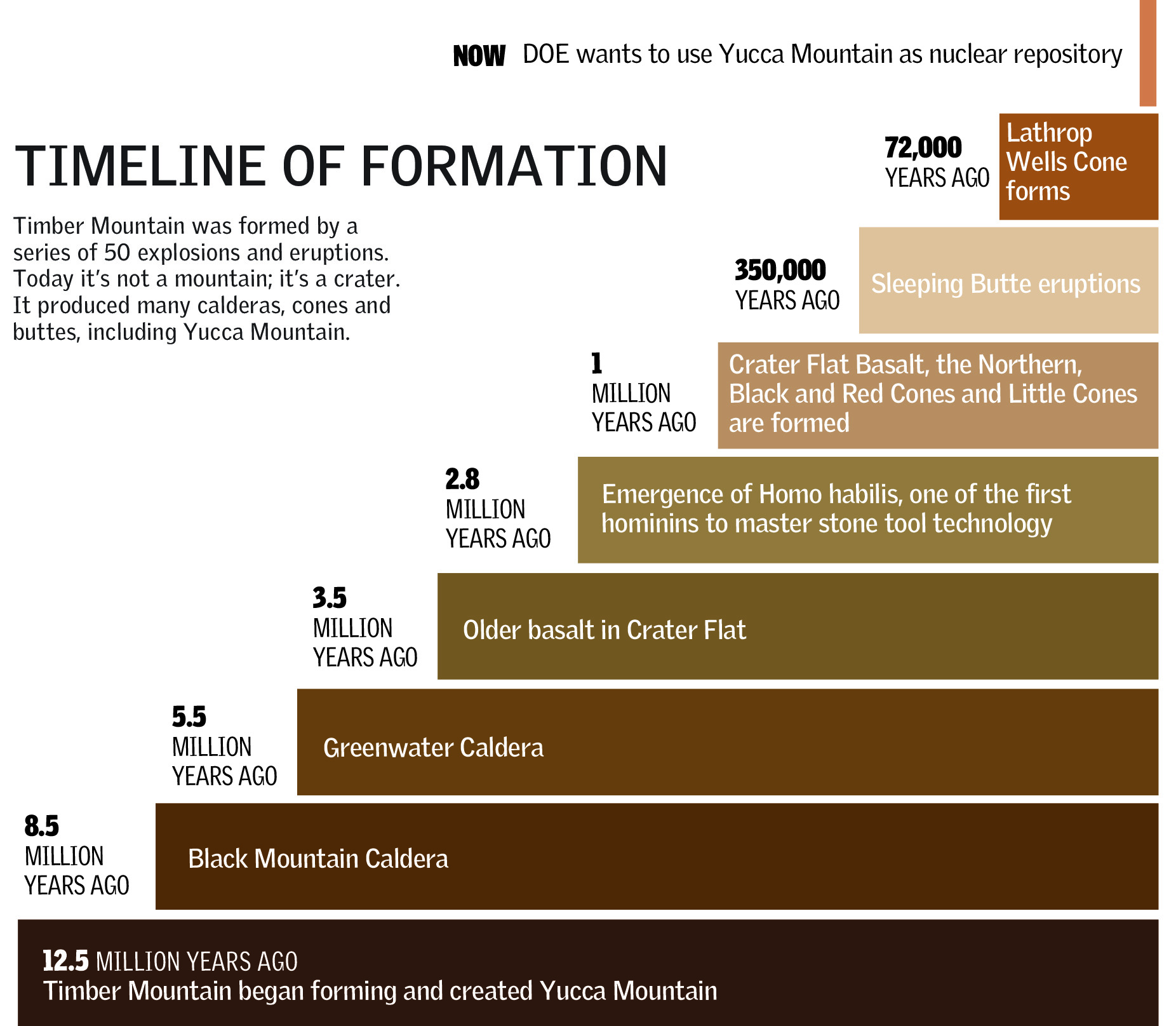
Smith uses a dessert analogy involving raisin pudding to explain why the distinction is important when it comes to Yucca Mountain, itself a ridge formed by a series of volcanic eruptions of Timber Mountain, about 12 miles to the north, beginning 12 million to 13 million years ago.
If the federal team is correct, the eruptions in the area occurred when pockets of magma in the lithosphere — the raisins — grew hotter and gushed to the surface.
In this scenario, Smith said, “There’s only a certain amount of raisins. Once the raisins are gone, volcanism stops.”
But if the source of the volcanic activity occurred deeper, as the Nevada team believes, the source of the long-ago eruptions still exists because “there are an infinite number of raisins” in the asthenosphere, Smith said.
That would mean the old volcanoes in the area, or even new ones, could explode, he said.
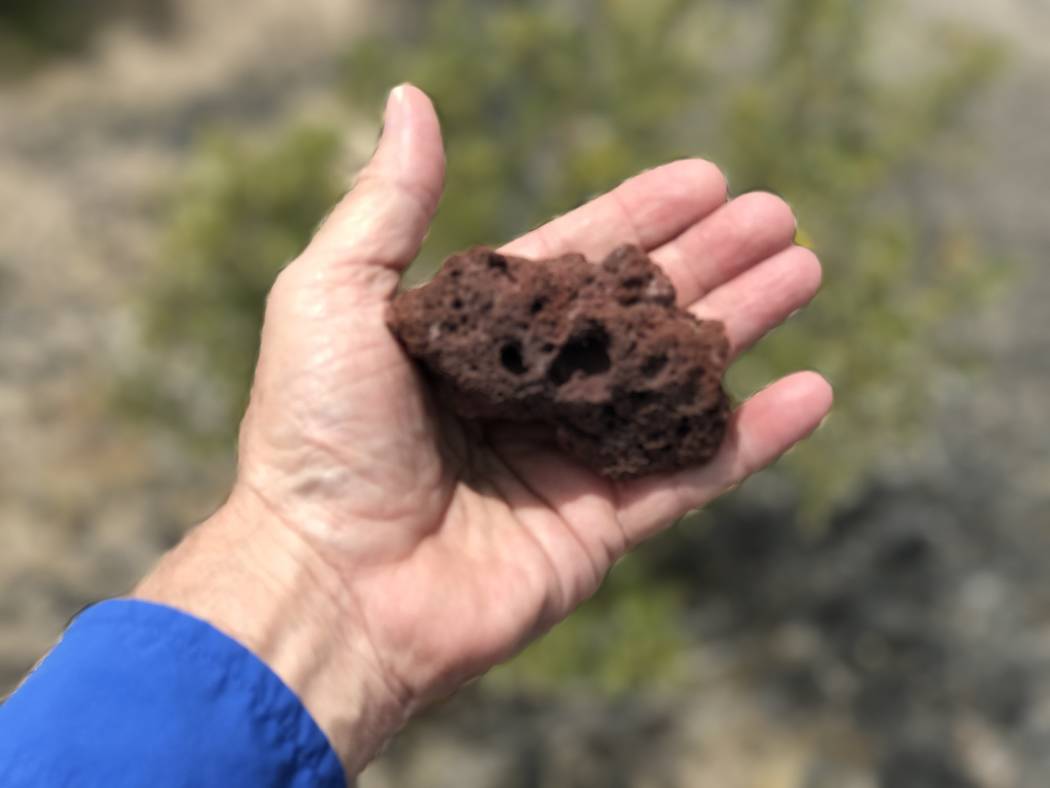
One cone known as Lathrop Wells, a cinder-rock mine site near the fringe of Crater Flat, eight miles south of Yucca Mountain, “is really young” and last sent lava across the desert floor about 70,000 to 80,000 years ago, Smith said.
“(But) there’s evidence that the initial eruptions of Lathrop Wells were actually quite explosive … and threw ash at least to the west in the Crater Flat area,” he said.
DOE officials declined to discuss the science issues surrounding the Yucca Mountain Project, saying they would be adjudicated if the licensing process is renewed, but the Review-Journal spoke with several former DOE scientists about the new Nevada contentions.
Studies by the Energy Department’s Los Alamos National Laboratory conducted during the 1980s and early 1990s examined the possibility that a volcanic event — possibly an explosive one — could disrupt a repository if one is built. Among other scenarios, they modeled the possibility that magma could rise through the repository area and carry off radioactive materials. They concluded that the odds were so remote the possibility could be discounted.
Disaster odds seen as long
Crowe, the Los Alamos volcanologist who did much of the field work in Crater Flat decades ago, said the DOE scientists calculated the likelihood of a volcanic event occurring and intersecting with the repository as “three or four” in 100 million per year.
That would be much less than a person’s chance of being struck by lightning in a year — 1 in 960,000 — but greater than the chance of hitting last year’s $1.5 billion Powerball jackpot: 1 in 292 million.
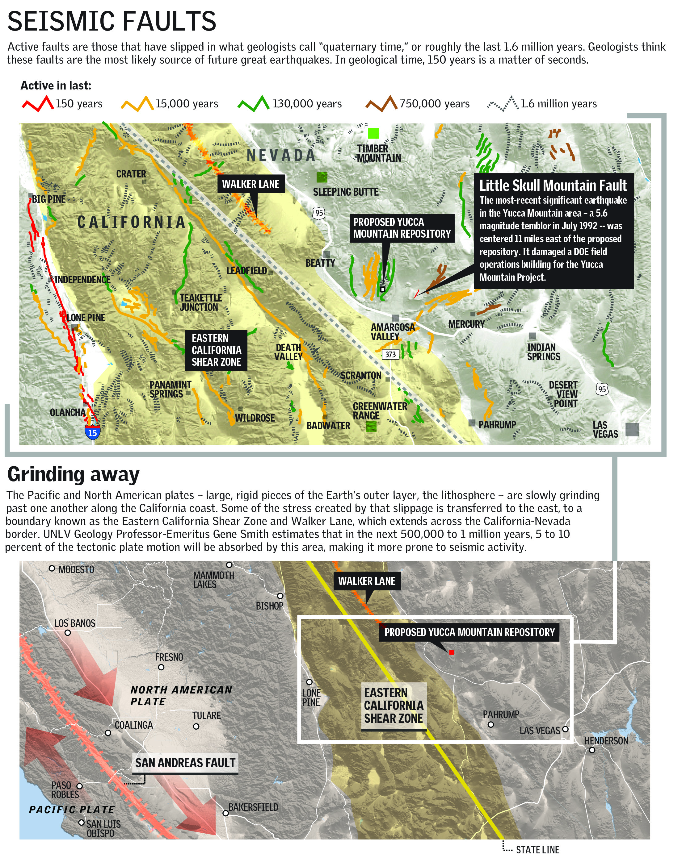
Greg Valentine, another former Los Alamos volcanologist who worked on the Yucca Mountain Project, said government scientists determined that the seismic faults that run through the area probably would determine the path of magma in an eruption.
“Magma makes its own pathway, as a dike, until it reaches the upper 1000-2000 feet, and then if it intersects a fault it can, under the right conditions, start to follow that fault,” he said by email. “Because there are many faults in the Yucca Mountain region, most rising magma dikes intersect some type of fault.”
Las Vegas Review-Journal
He acknowledged that there’s “a very small chance that lava could intrude the proposed repository. It could intrude as an underground lava flow, or it might be more explosive.”
Valentine, currently director of the Center for GeoHazards Studies at the University of Buffalo, New York, stressed that he doesn’t represent DOE and hasn’t been affiliated with the project “for many, many years.”
Smith, 73, said the Nevada team also believes the government scientists erred by focusing only on volcanoes in the immediate region of Yucca Mountain and not looking at the potential that other volcanoes near Death Valley could be part of the same subterranean plumbing system.
Stress shifted eastward
He noted that stress between tectonic plates where the Pacific plate is sliding past the North American plate increases the potential for volcanic and seismic activity. Over the next 500,000 to 1 million years, about 5 to 10 percent of the stress generated by slippage of California’s San Andreas Fault will be transferred toward the boundary zone to the east, he said.
“So another possible thing we have to worry about … in terms of earthquakes is that Yucca Mountain and Crater Flat are located right on the eastern edge of, in essence, the boundary between the Pacific and North American plates,” Smith said.
According to the U.S. Geological Survey, volcanoes have erupted shortly after large earthquakes greater than magnitude-6 in the same region. The eruptions might be related to a change in pressure — release of strain — in Earth’s crust, but the triggering mechanism is not well-understood and is a topic of debate among scientists.
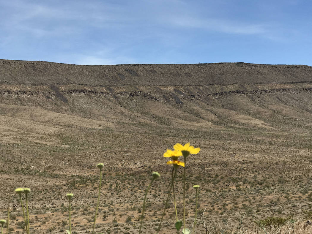
The Nevada team’s research shows that volcanoes have exploded within the past 7 million years in California’s Greenwater Range on the edge of Death Valley, 20 to 30 miles from Yucca Mountain.
“We argue that the Greenwater Range, buried basalt centers in the Amargosa Valley, and volcanoes in Crater Flat near Yucca Mountain are part of the same volcanic field and may have similar evolutionary histories,” Smith wrote in a November white paper with co-authors Racheal Johnsen and Deborah Keenan.
“… The occurrence of explosive volcanism in the Greenwater Range raises the question of whether this type of activity is possible at Yucca Mountain. This question is especially important if the safety of the repository has to be guaranteed” for the 1-million-year safety time frame that the Environmental Protection Agency has established.
Crowe, the former DOE volcanologist, said he doesn’t believe the two fields are connected, as the volcanoes in the Greenwater Range have a different geologic history.
‘An interpretative gray area’
“It could be an interpretative gray area,” said Crowe, 69, whose work focused on occurrence probability. “I wouldn’t say to keep (the Greenwater Range) excluded, but my best judgment was that it wasn’t relevant to the calculation.”
Crowe, who worked for the Yucca Mountain Project and on volcanism in Crater Flat and Lathrop Wells from 1978 to 1996 and continued to work for the DOE as a science adviser at the Nevada Test Site until 2013, acknowledged the challenges of running such complex computer models based on imperfect data.
“(But) we didn’t hang our hats on any one model,” he said. “We looked at a whole spectrum of models and then compared the aggregate results to see if they changed the risk probability.”
Las Vegas Review-Journal
Valentine, the other former DOE scientist, also doubts that the Greenwater Range, which stretches from Death Valley to the Lunar Crater area between Tonopah and Ely, is connected to Yucca Mountain.
“The volcanoes in the Greenwater Range are generally older (by several million years) than the youngest ones that are closer to Yucca Mountain,” he said.
And taking into account a larger area in risk assessments makes the repository footprint a smaller fraction of the overall area, “which counteracts the effect of the increased number of events,” he said.
In such a model, “The already low probability of a volcanic event intersecting the repository might end up even smaller” for an explosive event, he said.
Project backers hold fire
If it becomes necessary to run new risk assessments, the decades-old data that were collected to defend DOE’s license application are still intact from 2008, when the NRC accepted it.
“The information is there if they have to make a case for licensing,” said Bill Belke, the NRC’s former on-site representative, who looked over the shoulders of Yucca Mountain’s quality assurance team during the 17 years he lived in Las Vegas.
NRC spokesman David McIntyre wouldn’t comment about the state’s contention, saying any potential new challenges “are best left for the adjudication, if and when it is resumed.”
Similarly, William Boyle, director of DOE’s Office of Spent Fuel and Waste Science Technology, said that because the legal proceeding is suspended, “if and when it comes back, that’s when our views on anybody’s contention would be adjudicated.”
Opponents of the Yucca Mountain Project say the DOE could have difficulty reassembling the scientific expertise that it had during the first push for approval.
Smith noted that many scientists from the federal ranks “are no longer working with DOE. They’ve gone on to other projects, they’ve retired or they’re now deceased.”
Boyle, however, said “a lot” of DOE’s potential witnesses “still work at the national labs.”
McIntyre added that NRC does “not currently expect to have staffing needs that will delay the restart of the proceedings: The core expertise is available.”
Worst-case scenario
In contemplating what could happen if a violent volcanic eruption occurred at or near a nuclear waste repository in Yucca Mountain, Smith looks to the Northwest to make a point.
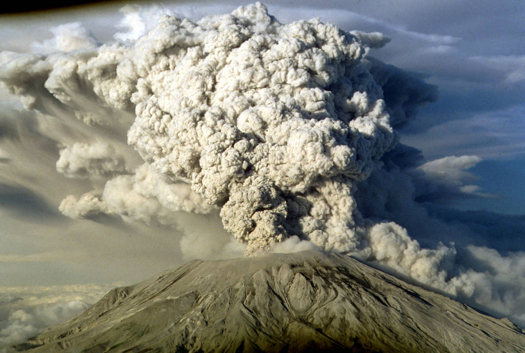
When Mount St. Helens erupted in Washington state on May 18, 1980, accompanied by a magnitude-5.1 earthquake, its north face collapsed, sending an avalanche of rock and ice into Spirit Lake and 14 miles down the Toutle River.
The avalanche “rapidly released pressurized gases within the volcano … (creating) a turbulent, stone-filled wind that swept over ridges and toppled trees,” according to the Mount St. Helens National Volcanic Monument website. “Nearly 150 square miles of forest was blown over or left dead and standing.”
While Mount St. Helens is not part of the same volcanic system that lies beneath Crater Flat and had been quiet for only 123 years, its devastating and deadly eruption illustrates the episodic nature of volcanoes, Smith said.
“This activity has basically been eliminated from consideration by the DOE. But we’re suggesting explosive activity might be a future problem for the Yucca Mountain area and can’t be eliminated from risk assessment studies,” he said.
No one can say for certain what would happen if an eruption did occur at or near a Yucca Mountain repository.
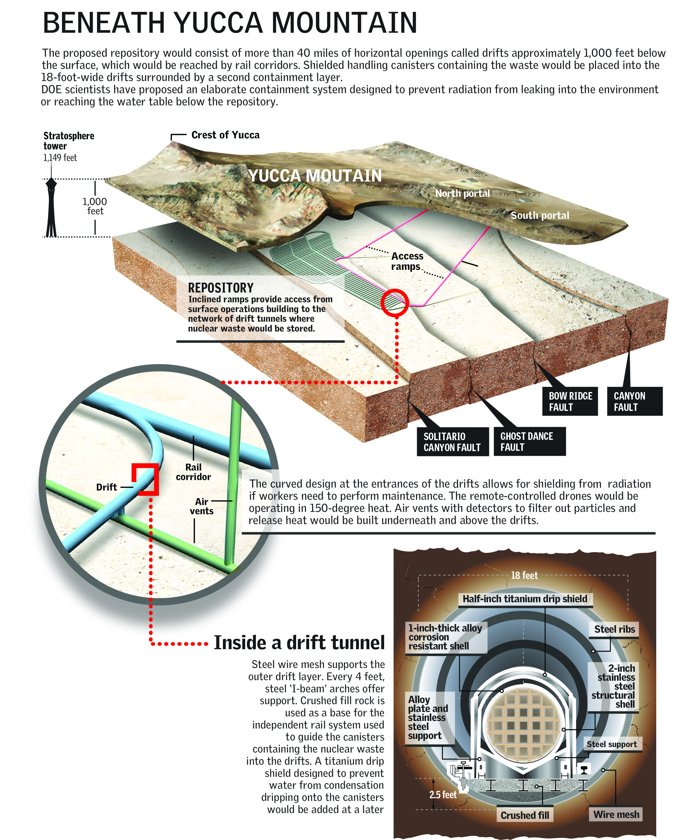
Potential impacts from that scenario vary “from just affecting the surface facilities” — such as operations where nuclear waste casks would be handled and stored before being entombed in a 40-mile maze of drifts off a 5-mile tunnel that loops through the mountain — “to actually collapsing a portion of the mountain,” Smith said.
Could eruption be ‘good thing’?
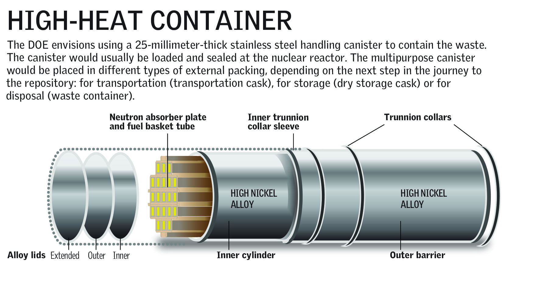
Whether the mountain or DOE’s engineered barriers could stop lava from entering the repository remains to be seen, Smith said. If it did flow into a repository, some scientists believe that would be “a good thing,” he said.
In their view, “It’s just going to encase the canisters in lava, and basically provide a much more secure repository,” he said.
Las Vegas Review-Journal
But Steve Frishman, a technical adviser to the Nevada Agency for Nuclear Projects, said that a lava intrusion into the repository chambers also could cause containment casks to fail and release radioactivity that “would then be transported down to the aquifer and downgradient to Amargosa Valley wells and springs in Death Valley.”
Even worse, he said, would be if it carried the material to the surface and released radioactivity.
That could mean “downwind initial doses to people measuring in the thousands of millirems,” he said. “And then the contaminated ash remains on the ground and is subject to redistribution by wind and water flow from rainfall. Cleanup likely would be impossible.”
The state is expected to hammer that point repeatedly if called on to debate the science of Yucca Mountain in NRC licensing hearings.
But Bob Halstead, executive director of the Nevada Agency for Nuclear Projects, said his team will argue the state’s hundreds of other contentions with the same vigor, including concern that climate change could erode the repository’s ridgetop cover over the 1 million years.
“It’s not just volcanism. The radioactive hazard from Yucca Mountain would threaten human health and the environment for a million years,” he said. “The cumulative uncertainties from volcanism, earthquakes and climate change are so large that the site should have been found unsuitable decades ago.”
Contact Keith Rogers at krogers@reviewjournal.com or 702-383-0308. Find him on Twitter: @KeithRogers2.
Radiation safety standards
In an attempt to ensure that nuclear waste could be safety stored inside Yucca Mountain, the Environmental Protection Agency set a two-tiered radiation safety standard that government scientists must meet: one for 10,000 years and another for 1 million years.
The respective dose limits are 15 millirems and 100 millirems per year for a theoretical farmer living 11 miles south of the site, near the unincorporated town of Amargosa Valley.
For comparison, EPA officials say a chest X-ray exposes a patient to 10 millirems while a mammogram results in a 30 millirem exposure. Americans are exposed to about 360 millirems a year from naturally occurring radiation in the environment.


