Best hikes in Las Vegas, according to hikers


Las Vegas has seen an outdoor recreation boom since the pandemic, and in a valley surrounded by public lands, there’s plenty of hiking trails to explore.
Here are the highest-rated official trails by hikers in the Las Vegas Valley, according to data and user feedback from the hiking app AllTrails.
1. Calico Tanks Trail
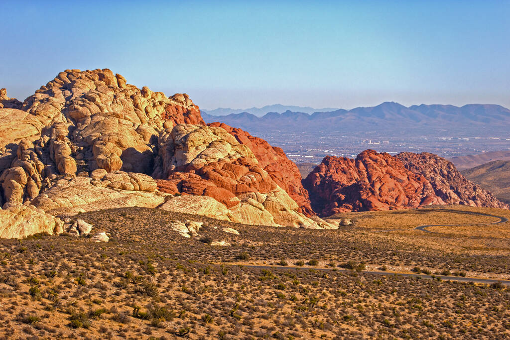
With a 4.8-star rating from 6,049 app users, the Calico Tanks Trail at Red Rock Canyon National Conservation Area takes hikers up over 400 feet through Red Rock’s red sandstone cliffs that were formed between 180-190 million years ago.
Red Rock Canyon gives the trail a “moderate” difficulty rating, as the trail includes uneven terrain and some rock scrambling. There are also large cliffs and drop offs on the trail.
Depending on rainfall, the trail can sometimes lead to a hidden pool of water, users on the app say. Thankfully for hikers, the trail always leads to a grand view of the Las Vegas Valley.
This out-and-back hike takes around 2 hours to complete, according to Red Rock Canyon’s trail guide.
2. First Creek Canyon Trail
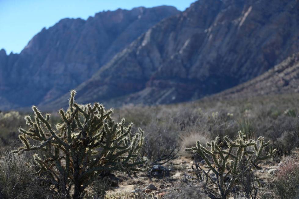
This trail, found outside Red Rock Canyon’s scenic trail along State Route 159, was given 4.5 stars from 3,221 users on AllTrails who describe it as scenic, kid friendly, and a good hiking option for people with dogs on leashes.
The 3.4-mile trail gives hikers a close look at Mount Wilson — a geological formation most recognizable for its bright red streak across the middle of its face.
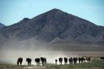
Burros and wildflowers can sometimes be spotted near the trail that runs along a creek that can fill with water depending on snow and rainfall, users wrote.
However, users did warn that the trail can get very crowded, so if you like to be alone in nature, this may not be the trail for you.
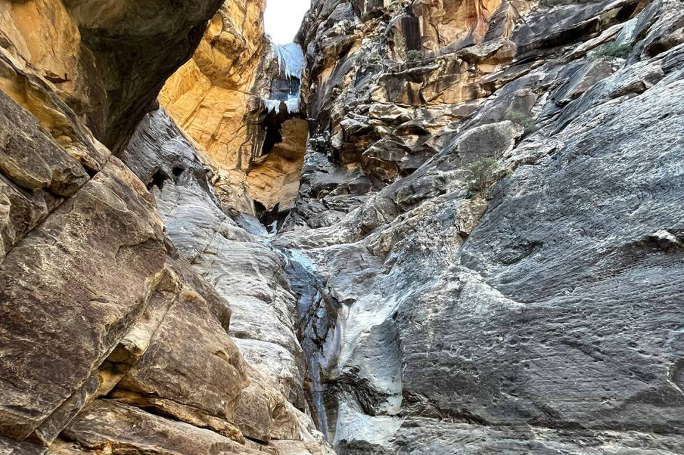
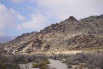
3. Ice Box Canyon
Though the Ice Box Canyon trail has a 4.5 rating from 2,857 users, the trail is only 2.2 miles. It requires a lot of maneuvering over slippery boulders in a creek that can lead to a waterfall at the end that, not to sound like a broken record, depends on rain and snowfall.
The trail got its nickname from being in a narrow canyon that gets little sunlight and has cool, flowing water that keeps the trail much colder than the surrounding desert, Red Rock says. But, even with the cooler temperatures in the canyon, users still recommend visiting the trail in the fall and winter months.
App users warned that the trail requires a lot of rock scrambling and that it can be easy to lose the trail once you are hiking farther down in the canyon.
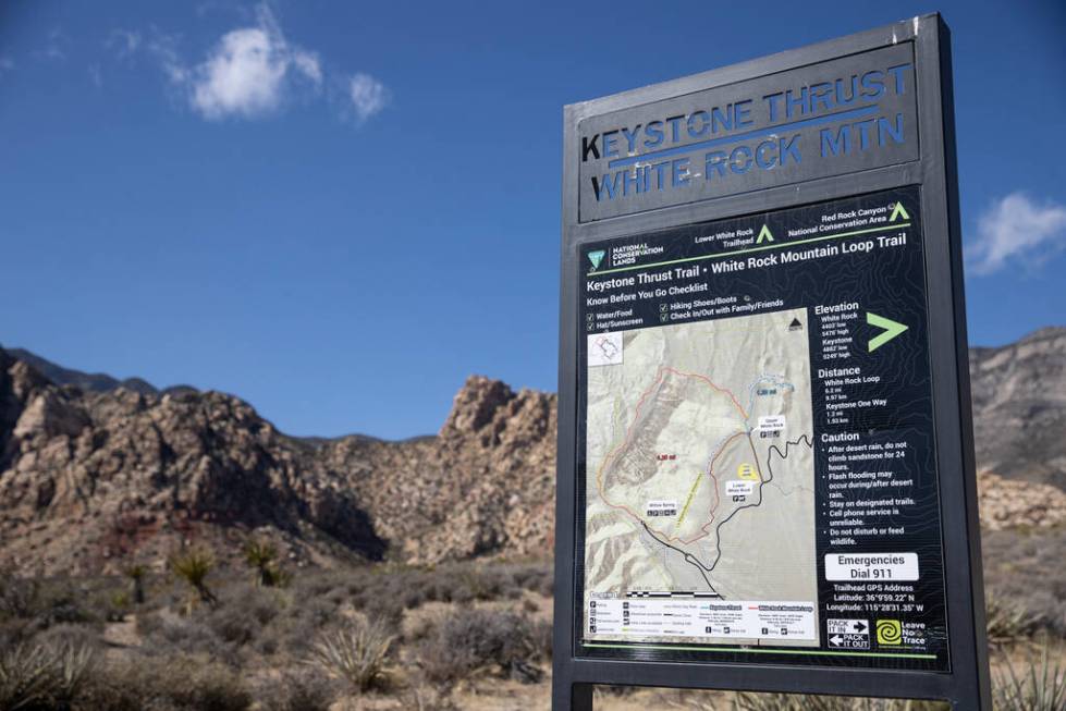
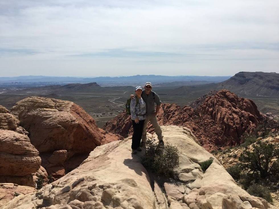
4. White Rock Mountain Loop Trail
The 6.2-mile trail got a 4.7 rating from 1,788 users, who noted the trail for its great views and interesting sandstone formations, but couldn’t agree on whether the loop was better to take clockwise or counterclockwise.
Hikers gain over 1,100 feet on the trail and get to see a side of Red Rock not visible from the scenic loop behind the red sandstone.
Users said the trail is good for walking, hiking, running or bringing a dog on a leash.

5. Lone Mountain Summit and Loop
Located at Lone Mountain Park, 4445 N. Jensen St., this loop trail was awarded a 4.6-star rating from 2,357 users on the app.
The trail takes hikers around the base of Lone Mountain in the northwest valley to its summit 731 feet up, then back down and around toward the park.
Users noted the hike has a steep incline toward the top of the mountain and has no shade, but is a great place to get views of the Strip and to get a quick workout, as the trail takes a little under 2 hours to complete.
Contact Taylor Lane at tlane@reviewjournal.com.