Las Vegas highway may see major changes, thanks to Interstate 11


Nevada transportation officials have identified options for the next step to extend Interstate 11 farther north beyond the Las Vegas Valley.
The Nevada Department of Transportation is conducting a virtual public meeting to gather feedback from residents on three identified options to bring U.S. Highway 95 to interstate code from the northwest valley through Indian Springs.
The virtual public meeting runs through July 12 online, with an in-person meeting scheduled for 4-7 p.m. June 25 at the Indian Springs Park Community Center.
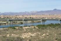
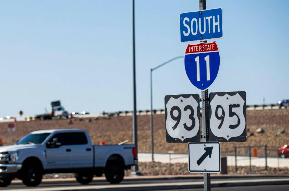
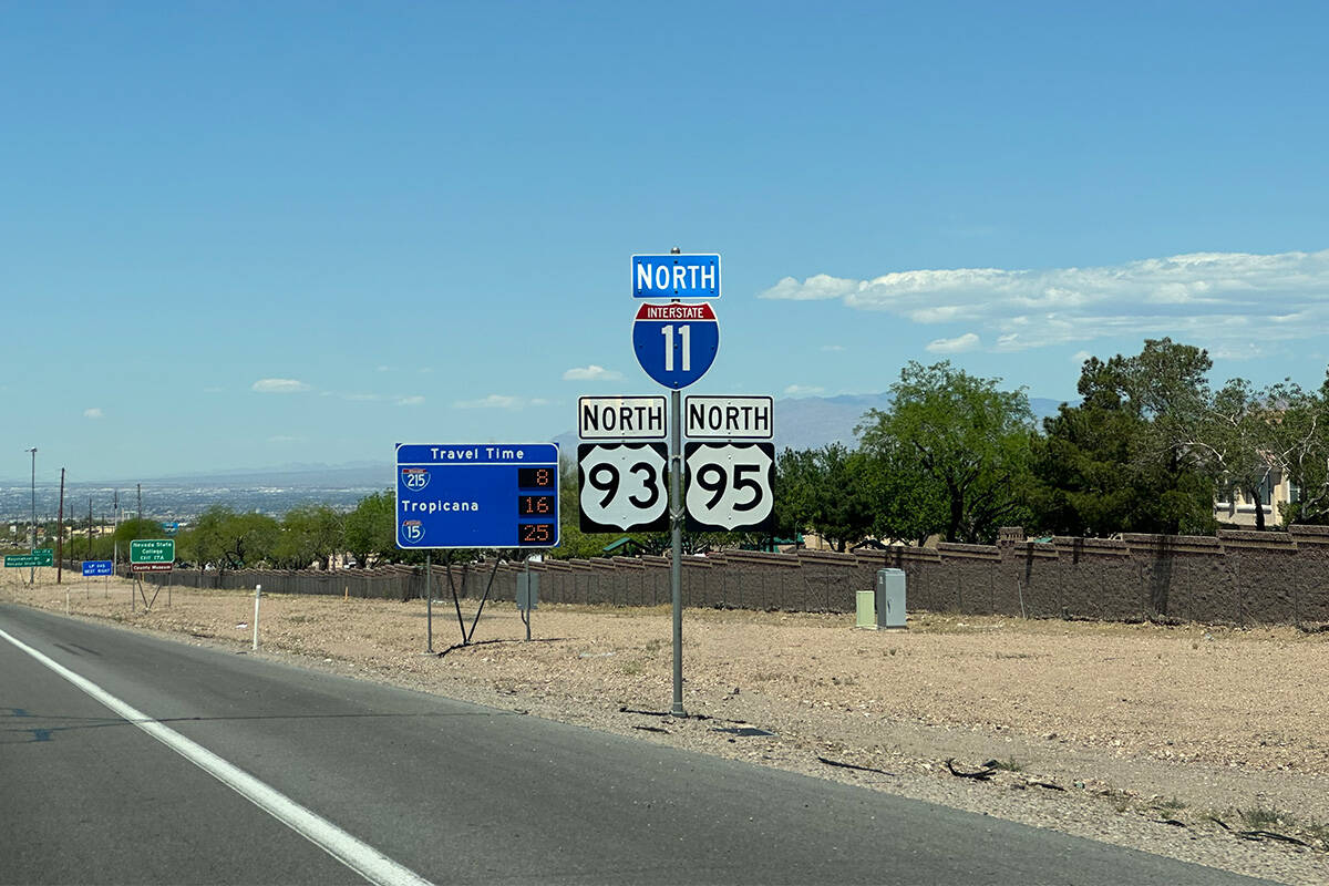
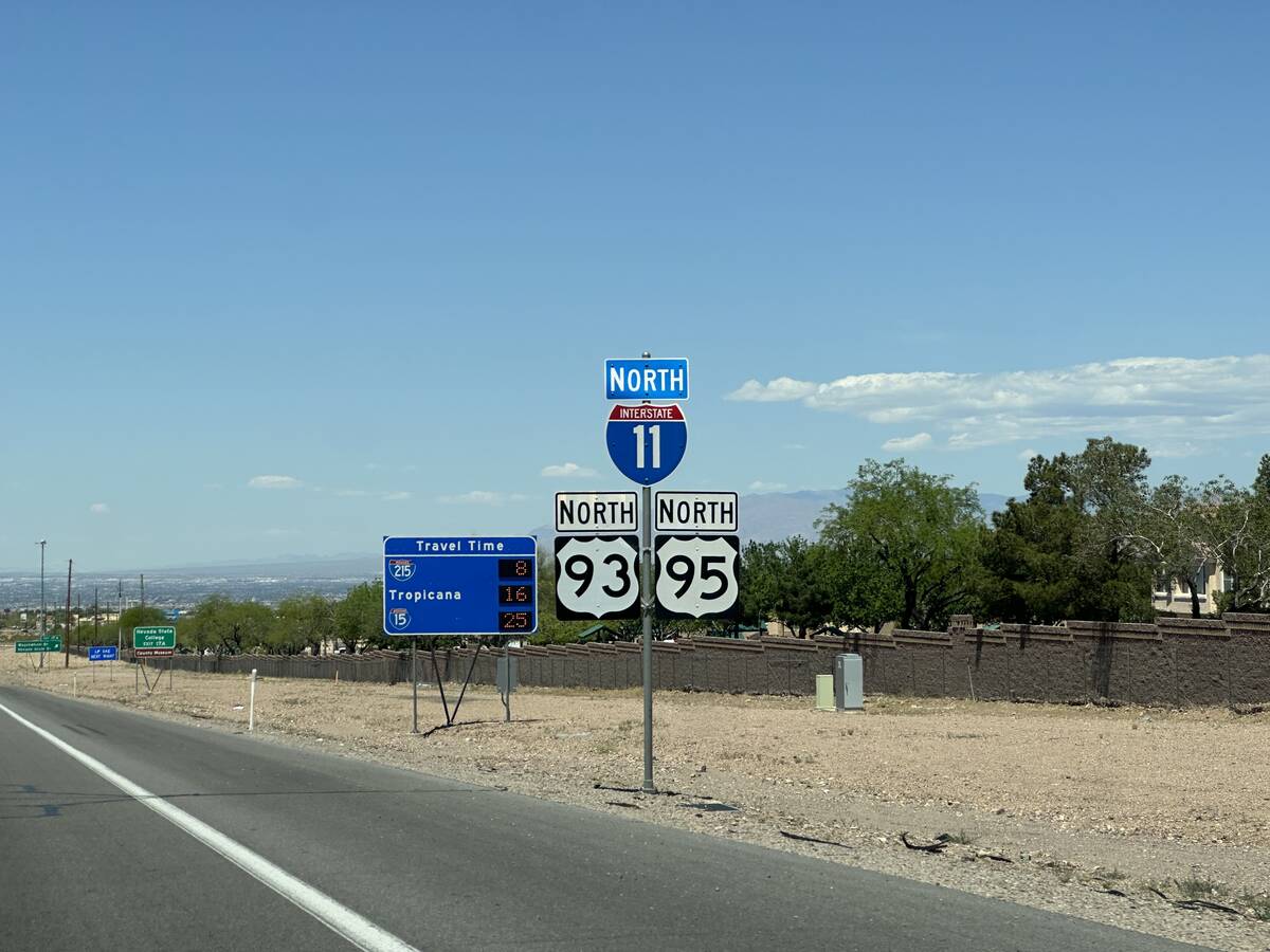
Interstate 11 currently runs from the Arizona-Nevada border to the Henderson Interchange on U.S. 95. Long-term plans call for the interstate to run from Canada all the way to Mexico.
This year new I-11 signage will be added along U.S. 95 from the Henderson Interchange to Kyle Canyon Road.
The three new options being considered would travel through Indian Springs, where a mix of commercial and residential property and Creech Air Force Base are located. That mix leaves little room to increase the highway’s footprint to allow both local and interstate access.
Design alternatives
Alternative 1 includes a new route that would loop south of Indian Springs, with two interchanges constructed on both sides of the community.
Alternative 2 would maintain northbound interstate travel on U.S. 95 through town, with southbound travel moved to a new corridor south of the community, using the same alignment as Alternative 1. Both directions would converge at interchanges on each end of Indian Springs. Frontage roads would be added to allow local access through town.
Alternative 3 would maintain both directions of travel on U.S. 95 through the community, with two options: 3a) a raised road or 3b) a depressed road option. Local travel would take place on the current U.S. 95 corridor, and the interstate route would be constructed either below or above U.S. 95, with interchanges built on both sides of Indian Springs.
New interchanges
No matter which alternative is chosen, bringing the stretch of U.S. 95 to interstate code for I-11 will mean roadway features will need to be updated and all at-grade intersections would need to be replaced by interchanges.
To bring the highway to interstate code, NDOT would look to widen the inside and outside shoulders, feature a wider median and/or include safety barriers, add improved signage and striping, and create higher bridge clearances and shallower grades.
A total of 10 interchanges also would be included in the plan at various points on the highway. They would consist of traditional diamond layouts that would provide access to both areas on both sides of I-11.
Three of the 10 already exist, at Snow Mountain and Lee Canyon in Clark County and in Mercury in Nye County, but those will need to be updated as part of the I-11 project. Seven new interchanges would be built along the nearly 50-mile stretch of highway.
The new interchanges would be built at:
Sheep Mountain Road: This interchange is proposed to connect to a planned Sheep Mountain Parkway corridor, which will provide north-south access west of the 215 Beltway.
Corn Creek Road: This interchange would provide access to the community of Corn Creek and the Corn Creek Visitor Center and Desert National Wildlife Refuge.
Cold Creek Road: An interchange would replace the existing at-grade intersection that provides access to the Southern Desert Correctional Center and the community of Cold Creek.
Indian Springs: Interchanges will be built on the northern and southern ends of the community.
Big Timber Spring: An interchange would be constructed to provide access to public lands located south of U.S. 95.
Rock Spring: An interchange would be constructed to give access to public lands located south of U.S. 95.
A truck parking facility also would be constructed between Lee Canyon and Cold Creek interchanges to provide drivers of long-haul trucks a place to rest.
Ultimate goal
Linking Las Vegas to Phoenix and then eventually to Mexico and Canada via I-11 are the goals of the long-term project.
The I-11 Tier 1 Environmental Impact Statement from Nogales to Wickenburg in Arizona was completed in 2021, with the record of decision from that establishing the selected corridor, which is 2,000 feet wide, according to the Arizona Department of Transportation.
A Tier 2 environmental study must still be completed to narrow the corridor to 400-foot-wide alignments, or routes. A Tier 2 EIS has been programmed for study from Buckeye to Wickenburg.
No time frame is set as to when work on new portions of I-11 in both Nevada and Arizona might begin, and funding has yet to be identified.
Contact Mick Akers at makers@reviewjournal.com or 702-387-2920. Follow @mickakers on X. Send questions and comments to roadwarrior@reviewjournal.com.