Driving on ‘wrong’ side of the road in Henderson
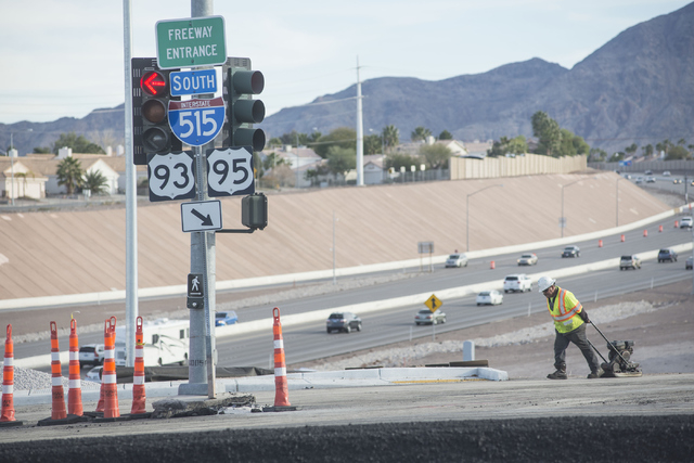
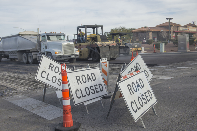
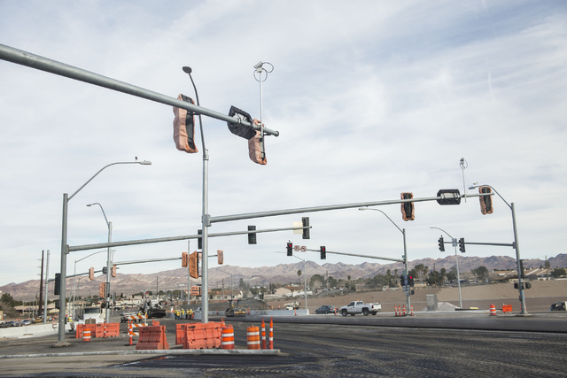
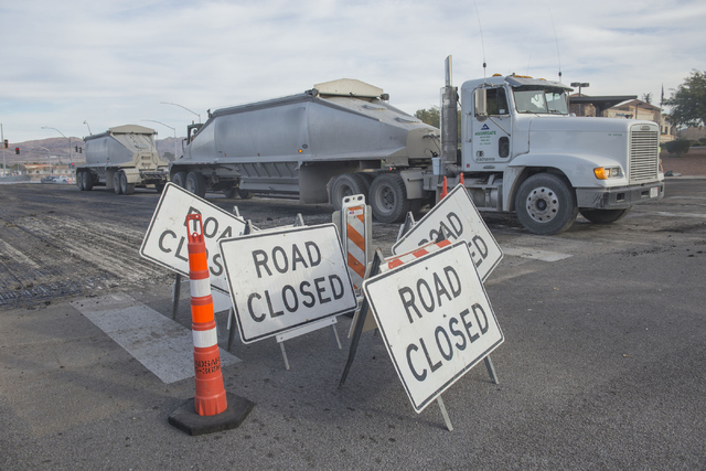
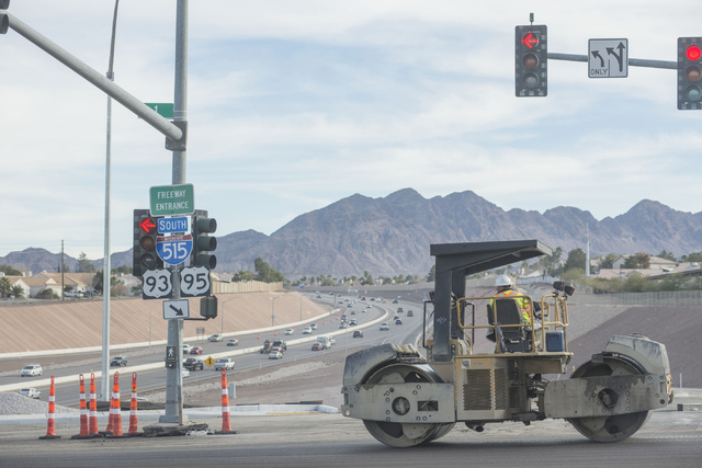
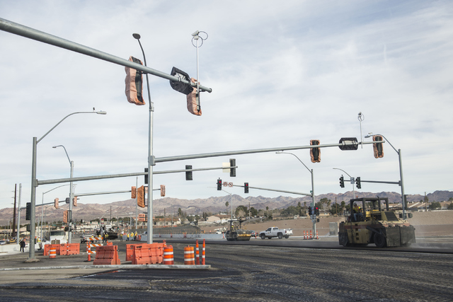
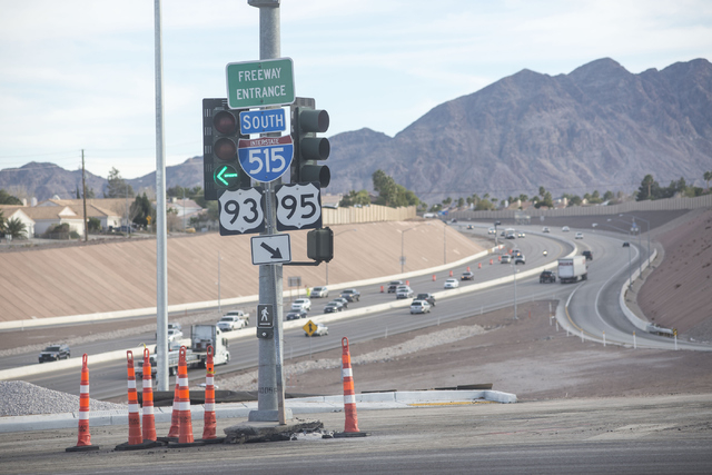
The first time I drove through Nevada’s first diverging diamond interchange, I hardly knew I was in it.
When you look at animations (see below), diagrams and illustrations of the diverging diamond in action, it looks convoluted, confusing, maybe even dangerous.
But fear not.
Although it might be painful for some to admit that French traffic engineers came up with this clever interchange innovation, it’s becoming a popular solution to traffic snags across the United States. Since the last time I wrote about diverging diamonds, when Henderson first announced plans to design and build one in April, 10 more have opened across the nation.
The newest one that opens Sunday addresses a particularly troubling choke point.
Southern Nevada’s first diverging diamond is at the Horizon Drive interchange of U.S. Highway 95.
At that location, the freeway runs parallel to Horizon Ridge Parkway, which lies about 200 feet to the west. Horizon Ridge and Horizon Drive serve as the freeway access to thousands of residents and businesses in a narrow corridor.
There’s a traffic signal at Horizon Ridge and Horizon Drive and another pair on the ends of the freeway overpass.
During rush hours, southbound motorists on Horizon Ridge must turn left crossing traffic, go through the first traffic interchange and then cross traffic with another left turn to head north on U.S. 95.
With a diverging diamond interchange, the second left turn across traffic is eliminated. It will also ease traffic for exiting southbound U.S. 95 traffic heading east on Horizon Drive. Here’s how:
The diverging diamond temporarily moves traffic from the right side of the road to the left.
That means northbound freeway traffic will make an easy left turn without crossing traffic and exiting freeway traffic will make an easy left turn into the flow of Horizon Drive without a signal.
Easy right? No? OK, you’ll have to try it to see how easy it is.
A few months ago, I tried Nevada’s first diverging diamond at the Moana Lane exit of Interstate 580 in Reno.
Maybe it was because the Reno diamond is under the bridge instead of on top of it, making it darker and harder to see, or maybe the concrete barriers that separate the left lanes from the right were taller than normal, but I zipped right through the interchange without even realizing I was in it.
The Federal Highway Administration found that there was a 38 percent decrease in travel time through diverging diamond intersections and an 80 percent decrease in the number of vehicle stops with them. The intersection can handle 650 left turns an hour, about twice the number of a conventional interchange. A Missouri study also found that it cut accidents by 46 percent.
One group of road users that might not like them as much are bicyclists, who will now have to pass through extra intersections to pass straight over the overpass. But Henderson officials note that it will have bicycle paths and will be the first place south of Auto Show Drive that cyclists and pedestrians can cross the freeway.
To fearful motorists, I say try it, you’ll like it. Who knows, maybe the public will demand more of them.
SCHOOL BUS STOPS
Warrior reader Ann wants some clarity on who has to stop when a school bus activates its flashing red lights on a street where there’s a barrier running along the center of the street:
“I just want to confirm that regardless of what side of the street a school bus in on, don’t all drivers have to stop? While driving west on Charleston Boulevard, a school bus driving east stopped to offload children. Cars driving west kept going. I stopped. The man behind me moved into the left turn lane and began his turn — just as the kids started to run across the street. He had to stop in the middle of his turn. Finally, everyone going west stopped. Yes, there was a concrete divider in the middle of the road, but I thought the divider only mattered when pedestrians were crossing.”
It might seem a little counterintuitive, Ann, but those traveling in the opposite direction of a school bus are free to continue if there’s a barrier separating the lanes of traffic.
“When there is a physical barrier dividing the road, such as concrete or landscaping, drivers traveling the opposite direction of the bus may proceed while it is unloading students,” said Nicole Santero, a spokeswoman for the Clark County School District. “On these types of roads, drivers are required to stop only if they are traveling in the same direction as the school bus.”
HEAVY TRAFFIC
That crush of convention traffic last week is gone, but there’s still one relatively large event today through Tuesday at the Mandalay Bay Convention Center as 10,000 attend Redken Laboratories’ international symposium.
Traffic might be heavier than normal along Tropicana Avenue and Paradise Road on Friday morning when the Las Vegas Metro Chamber of Commerce hosts Preview 2015, the organization’s largest networking and educational event, at the Thomas & Mack Center.
ROAD TRIP
If you enjoy reading the Road Warrior column — and honestly, who doesn’t? — you won’t find it here in Sunday’s Review-Journal next week.
The Road Warrior is taking a road trip to Monday’s edition starting next week.
Same coverage about getting around Southern Nevada on everything that moves, but on a different day.
Questions and comments should be sent to roadwarrior@reviewjournal.com. Please include your phone number. Follow @RJroadwarrior on Twitter.
ROAD WORK AHEAD
■ A new traffic signal will be activated at Alexander and Cimarron roads on Monday. The signal will operate in flashing-red mode until 9 a.m. Tuesday, when it will be switched to regular operation.
■ Eastbound Tropicana Avenue at Nellis Boulevard will be restricted to one travel lane through Feb. 6 for a five-mile wastewater pipeline project.
■ East Lake Mead Boulevard will undergo a widening for 4.5 miles from Hollywood Boulevard to the entrance to Lake Mead National Recreational Area. The project begins Feb. 2 and will continue through July. One lane of traffic will remain open, and motorists should expect delays. Alternate routes are recommended.
■ The right northbound lane of McLeod Drive from just north of the McLeod-Sunset Road intersection to about 30 feet south of the intersection will be restricted from Monday through Feb. 6. The left northbound lane and the two southbound lanes will not be affected.
■ The westbound lanes of Warm Springs Road from the Warm Springs-Eastern Avenue intersection to the Warm Springs-Spencer Street intersection will be restricted from Monday through June 9. Eastbound and westbound lanes of traffic will be shifted to the south half of Warm Springs during construction.
■ Power line relocations are scheduled through midsummer for 1.5 miles of Interstate 15 between U.S. Highway 95 and Charleston Boulevard. Restrictions are planned for the northbound onramps and offramps of Grand Central Parkway at I-15 for Project Neon, with utility relocation scheduled for completion by July 29.
■ A major sewer line project continues at Durango Drive-Rampart Boulevard and Cheyenne Avenue. The project will add 1.1 miles of 30- and 36-inch sewer pipe from that intersection to the Durango Hills Water Resource Center and eastward along Cheyenne past Cimarron Road. Locating utility lines will occur from 7 a.m. to 4 p.m. weekdays through the end of January. Tunneling along the route begins in March and will continue through December. Two travel lanes are expected to be maintained through the duration of the project, but Lake Mead Boulevard is recommended as an east-west alternative route and Buffalo Drive is recommended for north-south traffic.
■ The south half of East Eldorado Lane east to about 200 feet west of the Eldorado-Paradise Road intersection to the cul-de-sac just east of Emerald Glow Street will be restricted through mid-August for a Clark County Water Reclamation District project. The north half of Eldorado will carry one lane of east- and westbound traffic.
■ Interstate 15 traffic has been shifted to southbound lanes at Milepost 16 in the Virgin River Gorge in Arizona for the demolition of a bridge that is being replaced. There will be a single lane of traffic in each direction of I-15, but state officials say motorists should expect traffic delays of up to 15 minutes.
■ Traffic delays are likely on 26 miles of northbound and southbound Interstate 15 between mileposts 69 and 95 through early 2015.
■ Street, sidewalk, lighting and landscaping improvements are scheduled on Bridger Avenue between Main and Sixth streets through April. Traffic will be restricted to a single lane in each direction.
■ The northbound sections of Rancho Drive and Decatur Boulevard are part of a street-widening project. Two lanes will be open in each direction. Other portions of the project will continue through May.
■ Lane restrictions will occur on Grand Teton Drive between Durango Drive and Rainbow Boulevard through May.
GASOLINE PRICES
The average gasoline price Friday in the Las Vegas Valley was $2.19 per gallon. It was $2.21 in Nevada. The national average of $2.04 is down 4 cents from a week ago, down 33 cents from a month ago and down $1.25 from a year ago.


