Barry soaks Louisiana, initially spares New Orleans
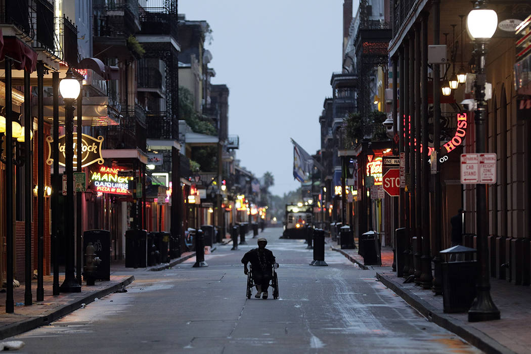
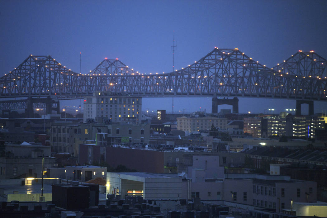
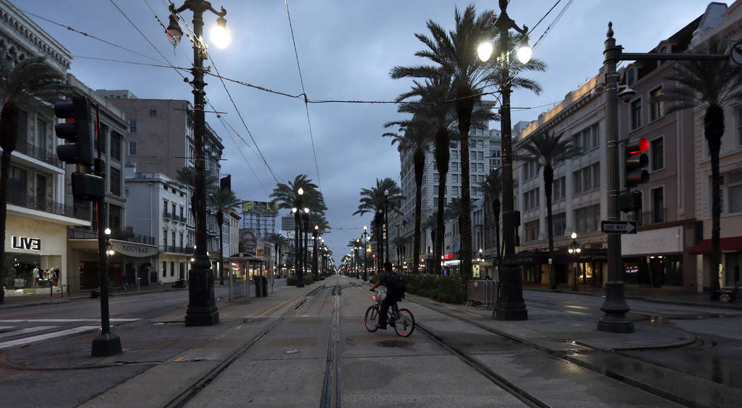
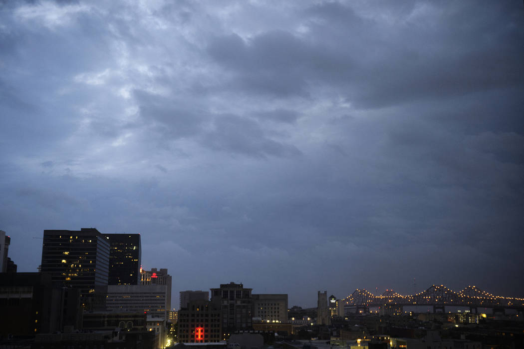
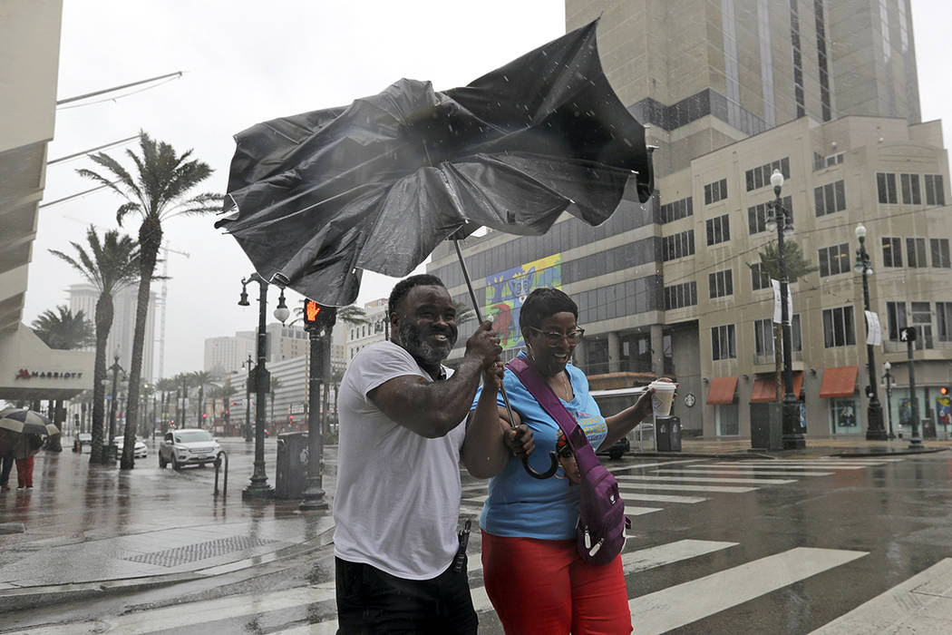
NEW ORLEANS — Weakened but still potent, Barry inundated the Gulf Coast but appeared unlikely to deluge New Orleans as it continued its slow advance.
Still, Gov. John Bel Edwards on Saturday night urged residents across south Louisiana to stay “vigilant,” warning that Barry could still cause disastrous flooding across a wide stretch of the Gulf Coast overnight.
“This storm still has a long way to go before it leaves this state,” Edwards said. “Don’t let your guard down.”
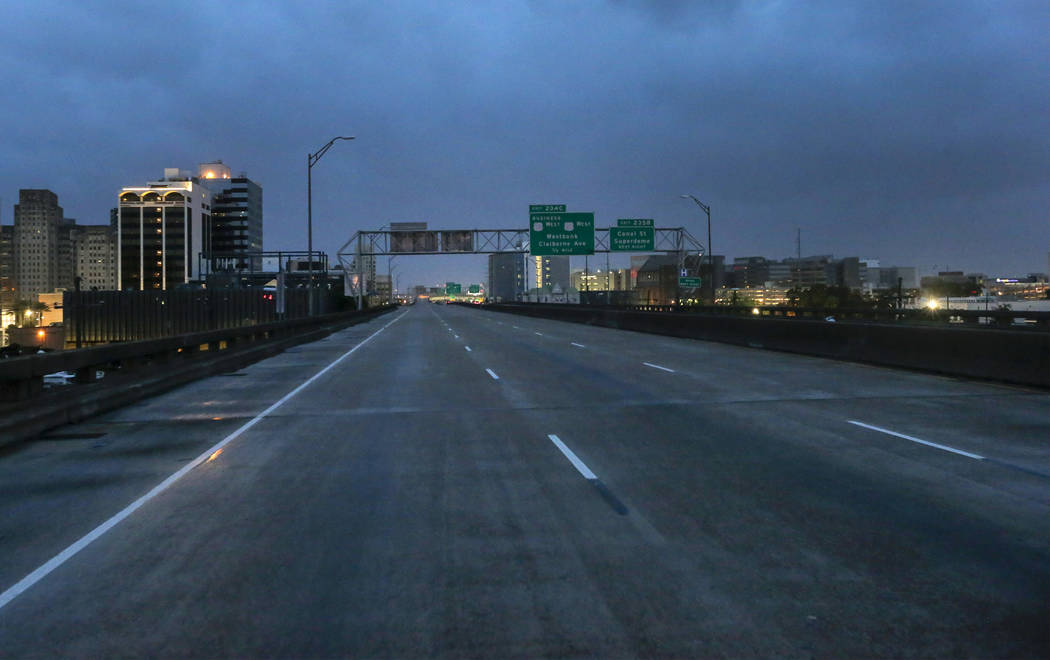
New Orleans had been braced for heavy rains Saturday, but instead had intermittent bands of moderate showers and occasional sunshine.
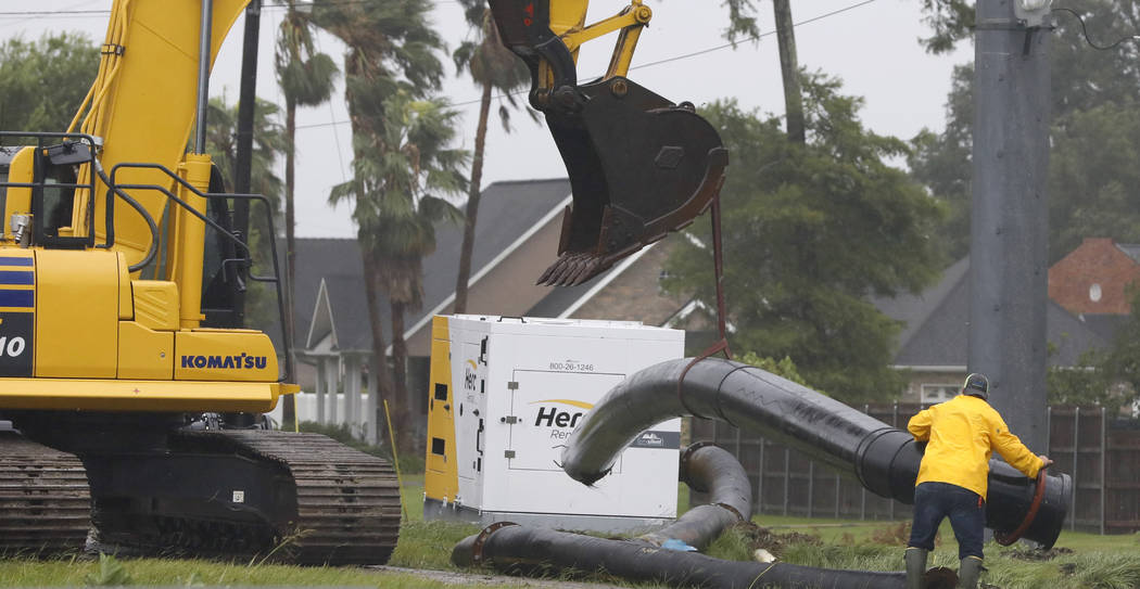
Though Barry will continue to dump rain throughout the weekend, forecasters downgraded rainfall estimates for the city through Sunday to between 2 to 4 inches. Forecasters had earlier said New Orleans could get up to 20 inches of rain, raising concerns that water pumps strengthened after Hurricane Katrina would be overwhelmed.
National Weather Service forecaster Robert Ricks cautioned, however, that it was too early to say for certain that New Orleans was in the clear. “We’re about at the (halfway) mark of the marathon right now,” he said Saturday evening. Heavy rainfall from the storm would be concentrated overnight in a wide area centered around Lafayette, he said. The city is about 120 miles west of New Orleans.
Late Saturday night, authorities were trying to rescue a family of five who was trapped by high water in the south Louisiana town of Franklin, according to KTBS-TV . The National Guard had to halt its initial rescue mission because waters were too high to safely reach the family’s home. Franklin is about 40 miles southeast of Lafayette.
Gulf flooding
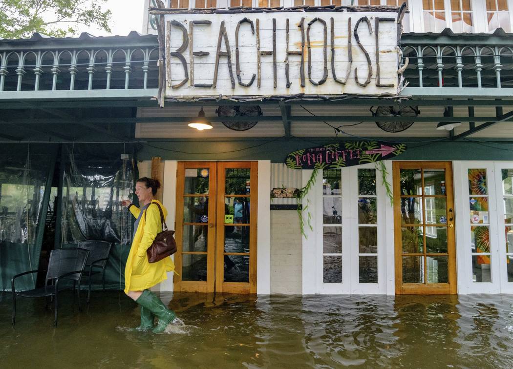
In other parts of Louisiana on Saturday, Barry flooded highways, forced people to scramble to rooftops and dumped heavy rain, as it made landfall near Intracoastal City, about 160 miles west of New Orleans. Downpours also lashed coastal Alabama and Mississippi.
After briefly becoming a Category 1 hurricane, the system weakened to a tropical storm, the National Hurricane Center said. By late Saturday night, its maximum sustained winds had fallen to 50 mph.
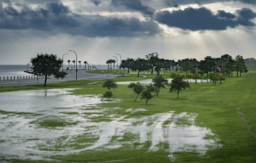
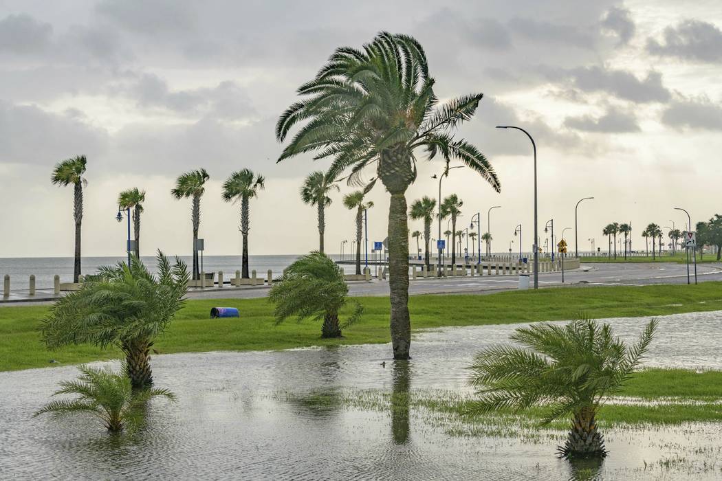
In Mandeville, a city on the north shore of Lake Pontchartrain across from New Orleans, storm surge and choppy waters sent waves pushing over the seawall and into nearby communities. Dozens of people waded through knee-high water to take a look at the pounding surf.
Roughly a block away, water was covering Lisa Keiffer’s front yard and the road in front of her house. It wasn’t in danger of going in the house, where Keiffer has lived for 22 years, but she was worried about her nearby business. She and her husband own The Candy Bank — a candy store a few blocks away in the lakefront community featuring homemade fudge, jars filled with gummy bears, chocolate-covered espresso beans and other candies.
Earlier Saturday the lake’s waters were lapping at the door, forcing her and her husband to scramble to raise everything off the floor.
“The problem with slow-moving storms or even tropical storms around this area is that it’s unpredictable,” she said. “It’s very stressful because you don’t know if you’re going to flood, so you go all through the trouble of picking things up, raising things, moving things, and then it looks like it’s not going to flood, and then 10 minutes later it looks like it’s going to flood.”
Elsewhere, Coast Guard helicopters rescued a dozen people and two pets from flooded areas of Terrebonne Parish, south of New Orleans, some of them from rooftops, a spokeswoman said. Those rescued included a 77-year-old man who called for help because he had about 4 feet (1.2 meters) of water in his home.
Defenses holding
None of the main levees on the Mississippi River failed or were breached, and they were expected to hold up through the storm, Edwards said. But a levee in Terrebonne Parish was overtopped by water for part of the day, officials said. Video also showed water getting over a second levee in Plaquemines Parish, where fingers of land extend deep into the Gulf of Mexico. Terrebonne Parish ordered an evacuation affecting an estimated 400 people.
In some places, residents continued to build defenses against rising water. At the edge of the town of Jean Lafitte just outside New Orleans, volunteers helped several town employees sandbag a 600-foot stretch of the two-lane state highway.
“I’m here for my family, trying to save their stuff,” volunteer Vinnie Tortorich said. “My cousin’s house is already under.”
Many businesses were also shut down or closed early in Baton Rouge, and winds were strong enough to rock large pickup trucks. Ricks said forecasters also downgraded their rainfall estimates for Baton Rouge to between 6 and 10 inches through Sunday, with up to 15 inches in some spots.
Oil and gas operators evacuated hundreds of platforms and rigs in the Gulf of Mexico.
More than 120,000 customers in Louisiana and another nearly 3,000 customers in Mississippi were without power Saturday, according to poweroutage.us.
Barry was expected to continue weakening and become a tropical depression on Sunday. But forecasts showed the storm on a path toward Chicago that would swell the Mississippi River basin with water that must eventually flow south again.
In Alabama on Saturday, flooding closed some roads in low-lying areas of Mobile County in Alabama, and heavy rains contributed to accidents, said John Kilcullen, director of plans and operations for Mobile County Emergency Management Agency.
Authorities closed floodgates and raised water barriers around New Orleans. It was the first time since Katrina that all floodgates in the New Orleans area had been sealed.


