Nearly a foot of snow forecast Saturday for Mount Charleston area


A winter storm advisory that calls for 6 to 10 inches of snow “in an around the town of Mount Charleston” has been issued by the National Weather Service.
The storm is expected to be at its worst from Saturday afternoon into late Saturday night. Heavy snow above 6,000 feet is expected. Snow could continue into Sunday.
Despite almost being April, Winter just isn’t ready to let go yet.
A Winter Storm Watch has been issued for the Spring Mountains this Saturday. Be prepared for wintry driving conditions if you plan to be in the Mt. Charleston area this weekend. #nvwx pic.twitter.com/eTmPQPp89H
— NWS Las Vegas (@NWSVegas) March 28, 2024
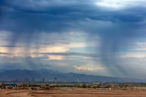
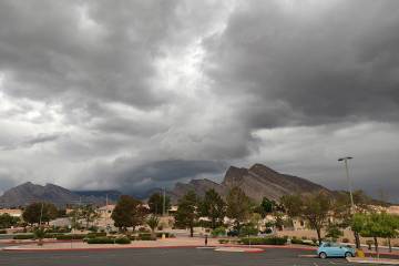
Two storm fronts moving from the Pacific Northwest and eventually Nevada are taking yet another shot at the Las Vegas Valley and Spring Mountains into Easter Sunday and the day after.
Steady winds of 20-25 mph were felt across the valley Thursday afternoon with gusts ranging from 31 mph at Harry Reid International Airport to 60 mph near the Red Rock National Conservation Area.
Las Vegas Valley forecast
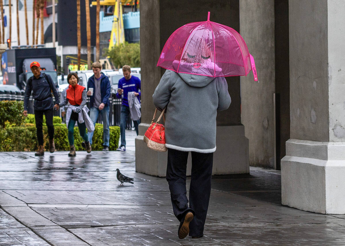
The holiday week weather will primarily mean windy conditions and perhaps some rain in the valley.
The Friday forecast for the valley calls for wind gusts to 34 mph with a most sunny sky and a high near 72.
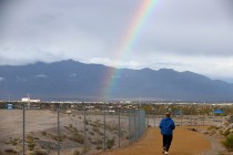
Showers are a 70 percent probability Saturday, mainly after 11 a.m. The sky will be cloudy with a high near 62. Winds may gust to 21 mph.
Easter Sunday is expected to be sunny with a high near 62.
A weather service wind advisory covering the entire region began at 1 p.m. Thursday and runs through Friday at 11 p.m. Winds could make motorists in high-profile vehicles to have driving difficulties. Unsecured objects could blow around.
Air quality is also forecast to take a hit with patchy blowing dust. Temperatures in the valley will be close to seasonable through Friday, but winds will range from 25 mph to 45 mph.
The second storm will arrive Friday as the sky clouds up before showers are a 60 percent possibility Saturday morning. The day’s high is not expected to get out of the lower 60s.
Saturday evening may bring showers, a 60 percent chance mainly before 11 p.m. Easter Sunday may see some showers in the valley and a high near 63.
Lake Mead
A high near 74 is expected Friday, but windy conditions will prevail. Showers are a 60 to 70 percent probability Saturday before conditions clear Sunday with a high near 62. Showers are a 20 percent chance on Saturday evening.
Showers are possible Monday when the high is expected to be around 67.
Lee Canyon
Winds will gust into the 40-mph range through the week with highs in the upper 50s. The winter storm advisory calls for a 100 percent chance of snow on Saturday with 6 to 10 inches possible. Winds may gust to 36 mph.
Snow showers may continue Saturday night with a 60 percent probability with 1 to 3 inches of new snow possible. Winds may gust to 24 mph.
Snow is a 60 percent probability on Sunday.
The ski resort has received 5 inches of snow in the past week and the total snowfall for the season is 193 inches.
Contact Marvin Clemons at mclemons@reviewjournal.com.