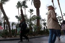
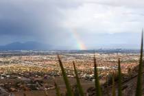
Winds up to 30 mph Monday as Las Vegas high dips into upper 80s


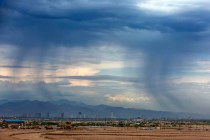
Wind gusts will reach 30 mph Monday across much of the Las Vegas Valley as a Pacific front moves through the Southwest.
Temperatures will drop to the upper 80s, falling into the upper 70s by Tuesday, according to the latest National Weather Service forecast.
Another Gusty Springtime Day!
⚠️ Wind Advisories
⌚ In Effect til 8PM tonight
📍 Most of southern NV (excluding Clark Cty), western Mojave Desert
🌬️ Gusts 40-50 MPH
🔥 Red Flag Warnings
⛵ Choppy waves to 2' on area lakes#VegasWeather #NVwx #CAwx #AZwx pic.twitter.com/ODg9rGs1mX— NWS Las Vegas (@NWSVegas) May 18, 2020
“Las Vegas won’t see the strongest winds, although it will be fairly strong across the valley,” meteorologist Trevor Boucher said. “Places like Tonopah and Caliente will see wind gusts into the 50s.”
The Monday forecast high is 88 with west winds from 14 to 20 mph and gusts to 30.
Monday night will be mostly clear with a low around 60. Winds will remain strong at 15 to 18 mph and gusts to 25 mph.
Tuesday’s high will drop to around 76 with winds slowing to 11 to 15 mph and gusts to 23.
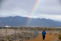
Boucher said there is an outside shot at an isolated storm in the valley Tuesday.
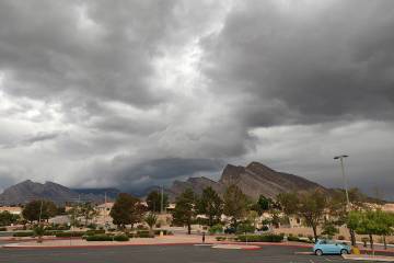
Fire warning
A red flag warning noting a critical risk of fires because of strong winds and dry ground conditions is in place through 8 p.m. Monday for large areas around Las Vegas, including Death Valley National Park, parts of Nye and Lincoln counties, the northwest plateau in Arizona and the St. George, Utah, area.
Southerly winds of 25 to 35 mph gusting from 35 to 50 mph are forecast. A combination of strong winds, low relative humidity and warm temperatures can cause extreme fire behavior, the weather service noted.
Contact Marvin Clemons at mclemons@reviewjournal.com. Follow @Marv_in_Vegas on Twitter.