Spotty showers may be heavy in Las Vegas on Monday
Traces of rain were reported early Monday in the Las Vegas Valley, with chances remaining in the forecast for heavier rainfall in the afternoon, according to the National Weather Service.
The scattered showers were expected to pass by the late morning, with the heavier rainfall possible for the afternoon, meteorologist John Adair said.
The weather service posted flash flood watches for Nye County and parts of Mohave County in Arizona, but not in the Las Vegas Valley.
Storms started to form over the McCullough range south of Las Vegas in the late morning, the weather service said. The service advised people to stay inside if thunderstorms with gusty winds and lightning develop.
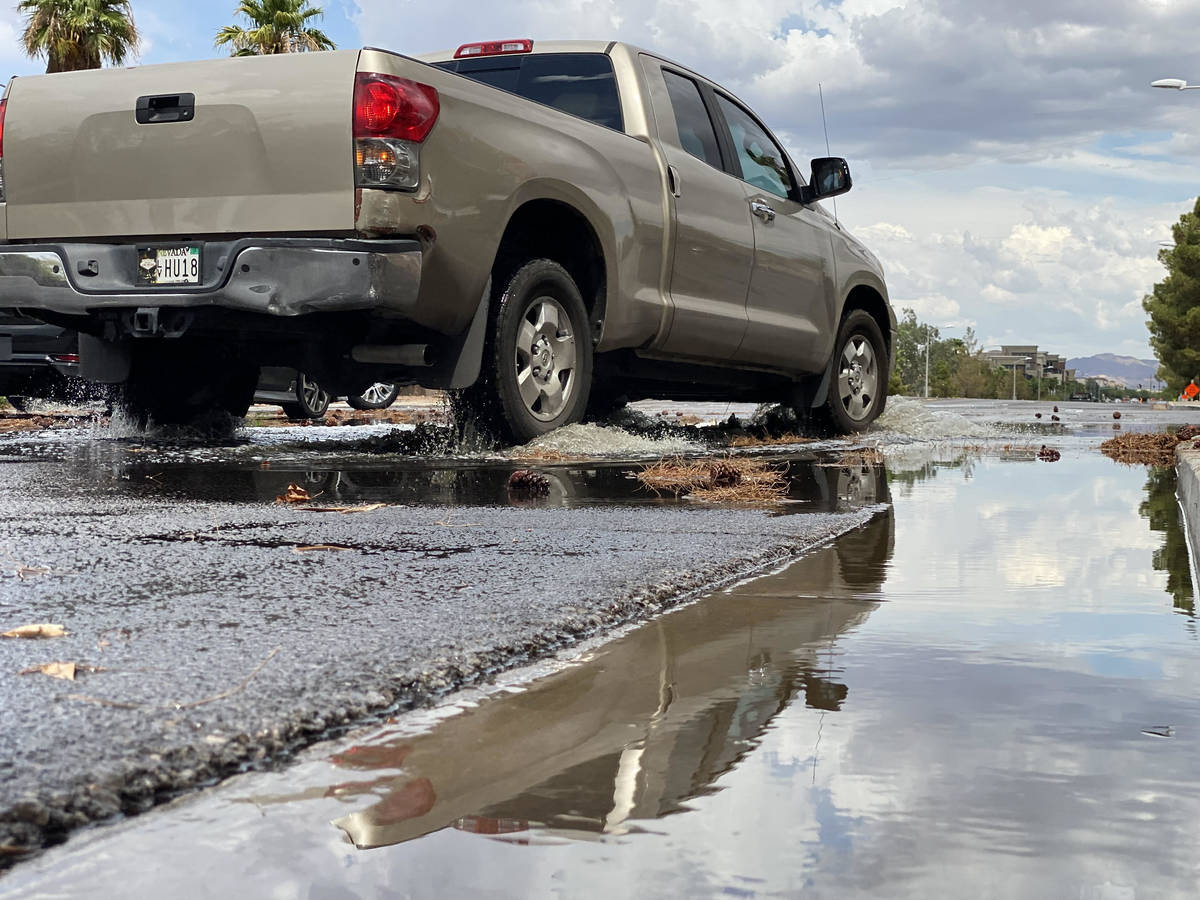
The possible storms come on the heels of a soggy Sunday afternoon that saw several areas in the southeast and southwest receive significant rain from early afternoon until just about evening.
Sunday rain totals
A small area of Henderson and Mountain’s Edge received the most rainfall in the Las Vegas Valley as thunderstorms rolled through much of Sunday afternoon.
“A storm rolled right off the mountain and dropped on Henderson about from Gibson Road to Boulder Highway,” meteorologist Andy Gorelow said. “It was a small area, but it got hit pretty hard.”
The total was 1.22 inches near the Fiesta Casino while the Pioneer Detention Basin just west of the casino recorded 0.94 of an inch.
A gauge near Buffalo and Starr in the southwest recorded 1.18 inches while two places in Mountain’s Edge were close to an inch.
High humidity
After the storms the humidity soared with McCarran International Showing 56 percent relative humidity shortly before midnight.
The Monday high should be near 103. Daily highs will gradually drop during the week while overnight lows will be in the upper 80s.
The forecast shows the potential for storms each day this week.
Contact Marvin Clemons at mclemons@reviewjournal.com. Follow @Marv_in_Vegas on Twitter.


