

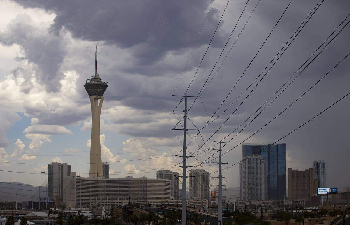
North end of Las Vegas Valley sees some light showers


Storm cells north of the Las Vegas Valley moved into the northeast and were expected to produce rain, wind and thunderstorms shortly, the National Weather Service said about 9:30 p.m. Tuesday.
“With thunderstorms it can be hard to tell where they might hit,” meteorologist John Adair said. “But right now over Highway 93 near Coyote Springs the rain rate is a half-inch in the last hour.”
Las Vegas Valley weather update - 9:35 PM radar image indicated thunderstorms were developing over the far northern Las Vegas Valley. Be prepared for lightning, gusty winds and brief moderate to heavy rain showers as storms expand between now and midnight. #VegasWeather pic.twitter.com/zhFcjGyY8z
— NWS Las Vegas (@NWSVegas) July 24, 2024
The valley had storm cells swirling around it most of Tuesday, but no cells came closer than about 50-75 miles.
The Mojave National Preserve just across the border in California was hit hard much of the afternoon.
“Radar shows upward of 2 to 2.5 inches,” Adair said. “We didn’t get any road flooding reports from the CHP (California Highway Patrol) which we usually do, so we’ll have to check with the National Park Service tomorrow.”
Wet Wednesday possible
Scattered showers and thunderstorms are a 30 percent possibility, mainly after noon. Conditions will be mostly sunny and hot, with a high near 112.
The chances of rain rise to 40 percent on Wednesday night. Scattered showers and thunderstorms, mainly before 11 p.m. are possible. Otherwise, partly cloudy, with a low around 91.
Contact Marvin Clemons at mclemons@reviewjournal.com.


