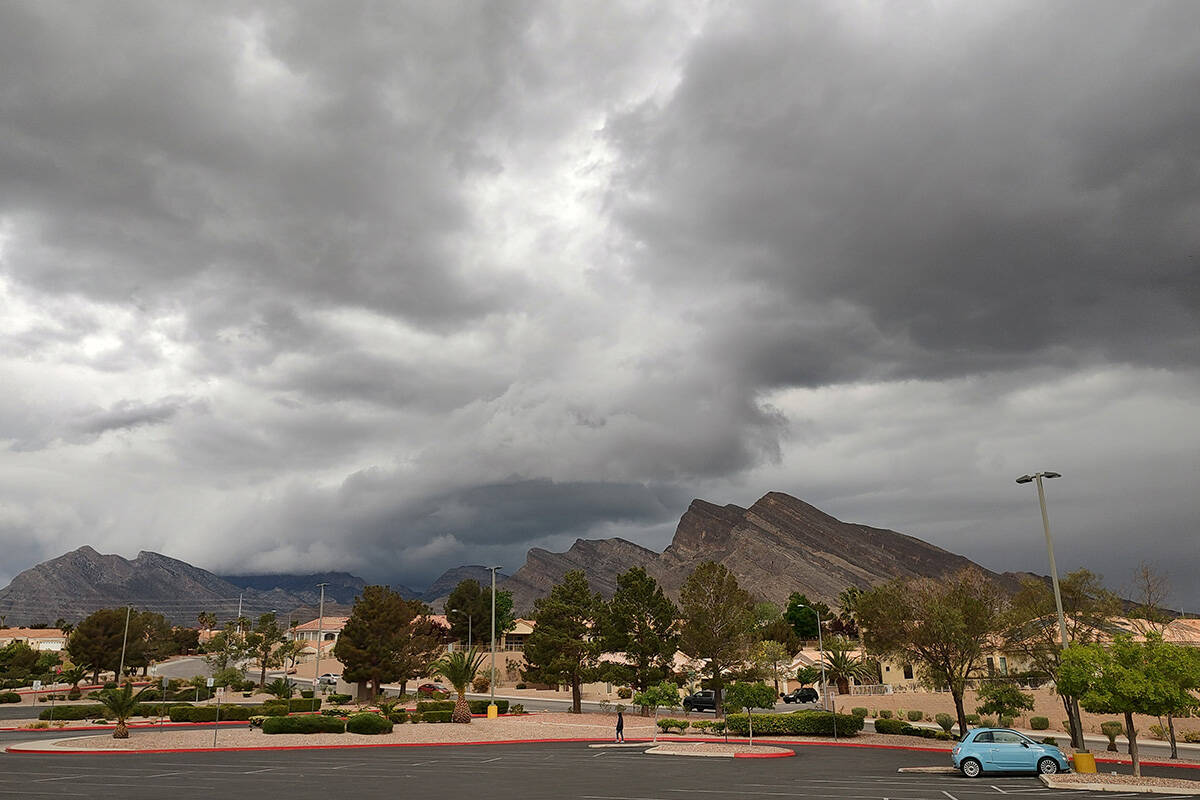
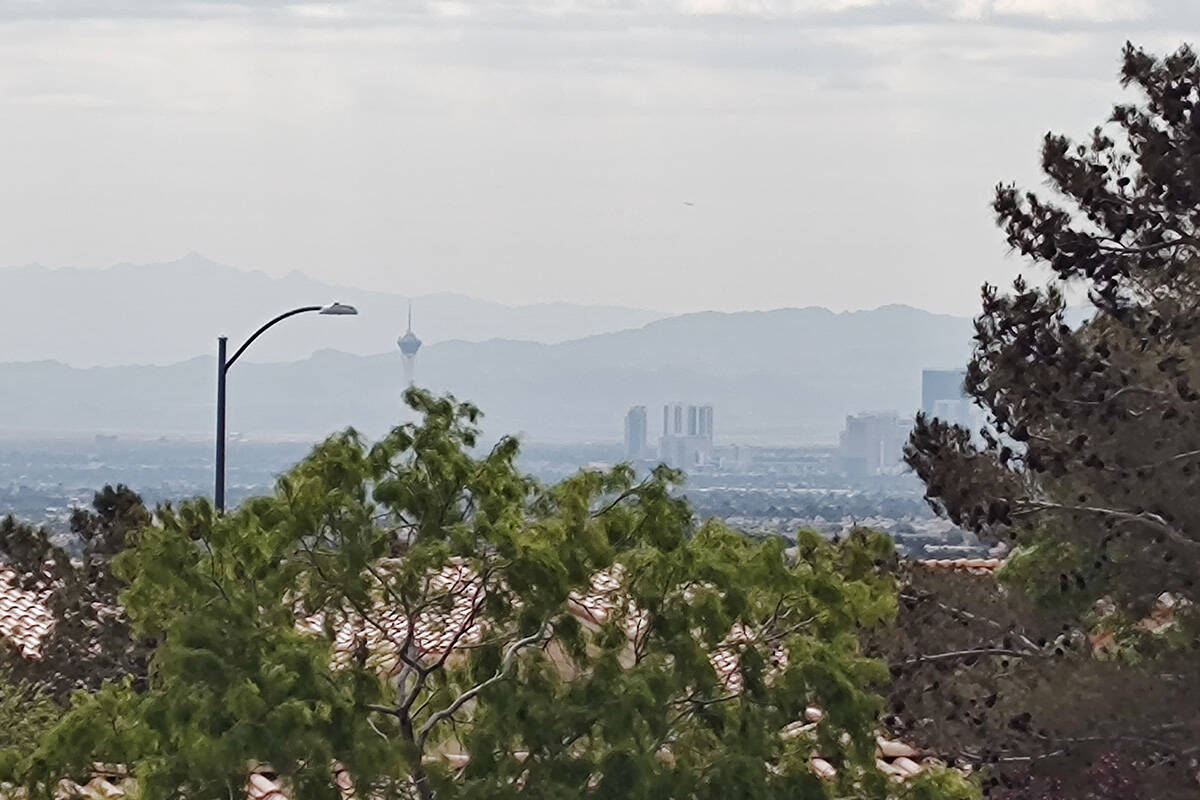
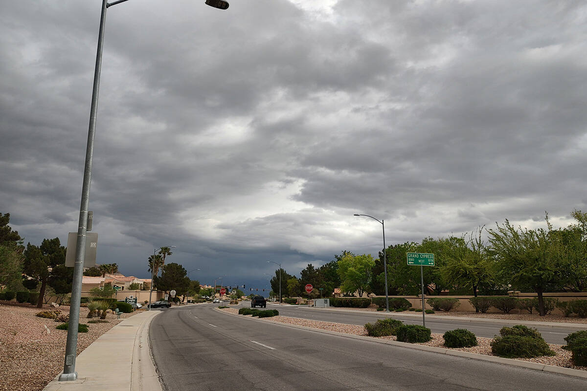
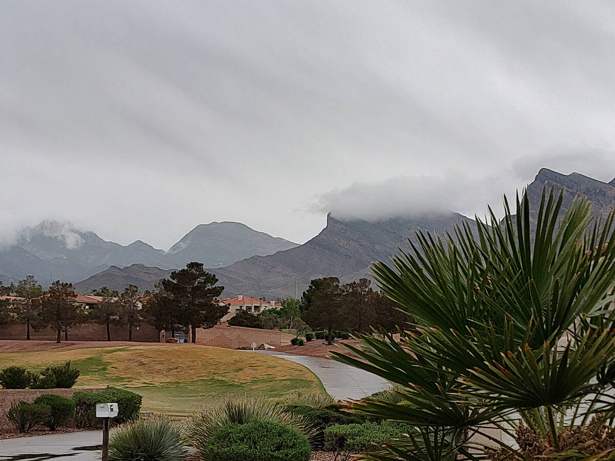
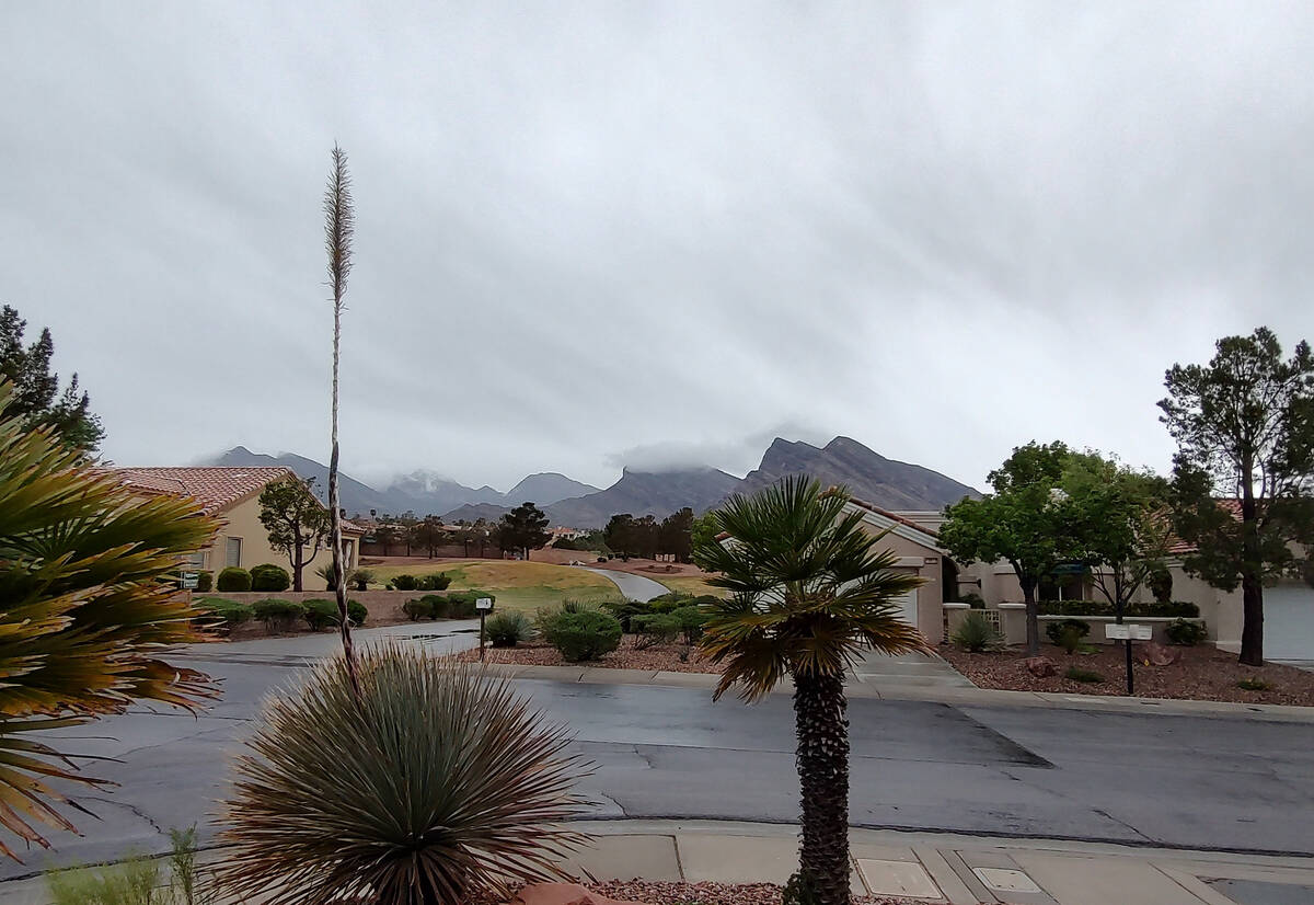
Late April storm soaks parts of Las Vegas Valley
A gentle rain that started around 10 a.m. became more intense in the Las Vegas Valley in the early afternoon Friday before departing to the east by late afternoon.
The rain returned around 8:30 p.m. Friday with a similar track — from northwest toward southeast.
Storm clouds were make portions of the valley wet Friday evening with light precipitation falling at the south end, near Red Rock and Summerlin as well as in Centennial. The Summerlin and Centennial cells had some thunder.
As of 9 p.m., rain gauges showed from .04 of an inch to .24 of an inch in west side hills and moving toward the central valley as of 9 p.m.
The heaviest storm activity during the afternoon was in the mountains on the southern edge of Henderson.
Nearly 1.4 inches of rain fell over four hours at the Headworks Channel with .79 of an inch in the Headworks drainage basin. The Anthem drainage basin recorded .59 of an inch with .59 of an inch falling st Sloan.
Wind gusts to 45 mph were recorded in the northeast.
Up to three-quarters of an inch of rain fell near Henderson Executive Airport in a two-hour period.
“The runoff might be pretty strong,” National Weather Service meteorologist Chris Outler said. “We have had a few reports of hail or graupel.”
The Regional Traffic Commission reported that power lines were down in the early afternoon at Sunset Road and Arroyo Grande.
The Nevada Highway Patrol reported 14 property damage and three injury crashes between 10 a.m. and 1:30 p.m.
“Although it’s always important to follow the speed limit, you should make a point to drive considerably slower than normal when it’s raining,” the NHP wrote in an email. “In wet weather, it takes much longer to come to a complete stop. Hydroplaning is also more likely to occur. It’s especially important to go slower when it first starts raining because the fresh rain will bring out the oils on the road and make the surface even slicker.”
The weather service had predicted a 60 percent chance of rain or thunderstorms Friday in the valley.
Sky conditions were mostly cloudy. The weather service forecast a high near 71, but after a high of 64 at 10 a.m., the reading at Harry Reid International Airport dropped to 54 by 11:40 a.m.
Clearing by Saturday morning
“We might have some light showers through the evening until 10 o’clock or so,” meteorologist Barry Pierce said. “It should be clear skies by Saturday morning. Most of it is now in Mohave County. “
Saturday and Sunday will be clear or mostly clear with highs around 79 and 82, respectively.
Temperatures are expected to warm into the low 90s next week, Meltzer said.
Contact Marvin Clemons at mclemons@reviewjournal.com.


