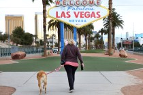
Las Vegas Valley may see 110 before moisture enters forecast
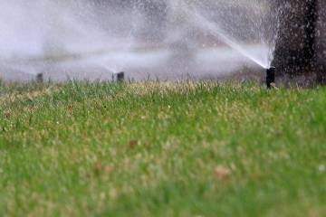

Gusty winds and hot temperatures are expected through the weekend and into next week, says the National Weather Service.
The current high pressure system could yield the first 110 high on Monday or Tuesday, meteorologist Jenn Varian said.
Temperatures will start out a couple degrees above seasonal normal today, steadily increasing through the weekend, with the hottest day of the year expected on Monday. Afternoon breezes around 20-25 mph will continue through the weekend. #VegasWeather #NVwx #AZwx #CAwx pic.twitter.com/e1oEbXjpwV
— NWS Las Vegas (@NWSVegas) July 8, 2022
But the hot and windy pattern might change late next week, perhaps Thursday or Friday.
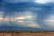
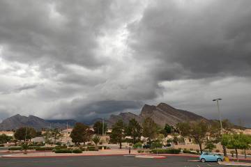
“That high pressure is in a favorable position for monsoonal moisture to move up (from Arizona) into the Las Vegas region,” Varian said. “We don’t have high confidence in a precipitation forecast for the moment.”
For Saturday, south-southwest winds of 7-17 mph can be expected to gust as high as 24 mph. After a morning low near 81, the mercury should top out around 108.
Sunday may have a bit lighter winds and an expected high of 108 after a morning low near 84.
Monday will see a high around 109 with a 110 high for Tuesday, the hottest day of the coming week, according to the forecast.
Morning lows will be in the uncomfortable mid-80s.
Rainfall 103 days ago
Harry Reid International Airport has received 0.16 of an inch of rain for the year with the last measurable rain on March 28 of 0.10 of an inch. That was 103 days ago.
The norm for rainfall for the year through July 8 is 2.17 inches.
Contact Marvin Clemons at mclemons@reviewjournal.com or 702-863-4285. Follow @Marv_in_Vegas on Twitter.