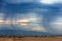
Las Vegas to be cooler, less windy as front passes through


A cold front moved through the Las Vegas Valley overnight, dropping winds and temperatures considerably.
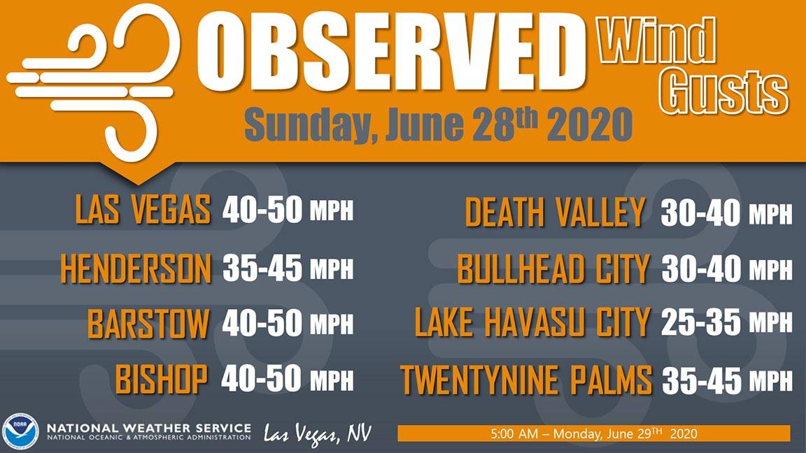
Winds that reached to 55 to 60 mph on Sunday are expected to top out about 25 mph Monday, National Weather Service meteorologist Chris Outler said.
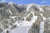
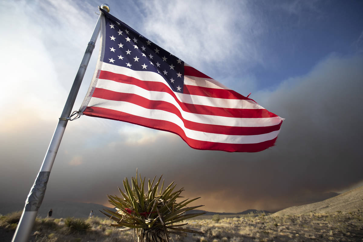
Wind conditions on Mount Charleston have shifted out of the north, which may move the direction of the uncontained 5,000-acre Mahogany Fire, he said.
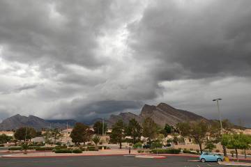
⬇️🌡️How do you spell relief? We spell it c-o-l-d f-r-o-n-t. Temperatures today will be much cooler than yesterday, double digits changes compared to Sunday's highs. In fact, #LasVegas could see near record low maximum (or cold highs)! #nvwx #vegasweather pic.twitter.com/6aKdPOfSnm
— NWS Las Vegas (@NWSVegas) June 29, 2020
“It might move the direction of the fire more southerly,” Outler said.
The forecast high temperature for Monday in Las Vegas is 89, well below the normal of 102 for late June.
There will be patchy smoke from the fire, possibly much of the day.
“We’ve seldom had highs in the upper 80s this late in June, so it’s quite a bit colder to start the week,” Outler said. “But we’ll be back in the 90s in a day or two and the 100s by Friday.”
Tuesday is expected to have a high around 94 with winds below 10 mph.
Contact Marvin Clemons at mclemons@reviewjournal.com or 702-863-4285. Follow @Marv_in_Vegas on Twitter.