

Las Vegas heat records continue to mount as storms arrive


Parts of Lake Mead were under a flash flood warning until 10:30 p.m. Monday.
Life-threatening flash flooding was possible,” the National Weather Service said. “Thunderstorms (are) producing flash flooding.”
Some locations that could have experienced flash flooding included Callville Bay Campground and Callville Bay.
Doppler radar indicated thunderstorms “producing heavy rain across the warned area,” the warning stated.
At 7:44 p.m., a severe thunderstorm was over Boulder Beach Campground, near Boulder City, moving south at 20 mph. Winds were gusting to 60 mph.
A string of cells was moving south across the park and Boulder City, according to weather service radar. By 8:10 p.m., the cells has crossed over Boulder City and were moving south.
Storm activity moved south and away from the valley by 9 p.m. Willow Beach received about three-tenths of an inch of rain.
Quick shower on west side
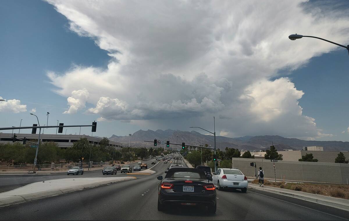
Earlier, the west Las Vegas Valley got some heavy rain and winds.
A storm cell that dropped a .59 of an inch of rain on Kyle Canyon Road earlier in the afternoon increased in size as it headed toward the valley, said the National Weather Service.
However, another cell popped up about 6 p.m. around the Angel Peak area, extended north and south across much of the west valley.
“It should keep the valley fairly active,” meteorologist John Adair said.
The storm only dropped .08 of an inch of rain near Angel Park.
Monsoon conditions dropped rain in the Kingman, Arizona, area during the day as well as near St. George, Utah.
High hits 112 at airport
The Monday high temperature reached 112 at Harry Reid International Airport, well below the 115 record high for July 22, set last year.
The heat records just keep mounting for the Las Vegas Valley. Though late Sunday night, Henderson saw rain, lightning and a thunderstorm while Las Vegas saw clouds.
The airport reached a high of 114 at 4:56 p.m. Sunday, surpassing the high temperature for July 21 of 113, set just last year.
On Saturday a high of 113 tied the daily record set in 1938 and 1959.
An excessive heat warning has been extended to 11 p.m. Wednesday.
Cooling centers will be open through Wednesday, according to Clark County.
Cooling Stations Flier English July 22-24-2024 by Las Vegas Review-Journal on Scribd
The official measuring station at the airport shows an average daily temperature of 100.4 through July 20. The record for any July is 97.3, set last year.
“We’ll probably end up with a triple-digit average for the month unless we get some storms,” meteorologist Mark Austin said.
Tuesday should see a high near 111 with monsoon conditions a 30 percent chance. Thursday is expected to be the hottest day of the week at 112. Sub-110 highs are forecast for the weekend.
Contact Marvin Clemons at mclemons@reviewjournal.com.


