
Freezing cold covers valley Sunday; airport wind chill dips to 32


Winds increased in velocity Saturday night northwest of Las Vegas as a cold front was forecast to deliver stronger gusts and chilling cold early Sunday morning.
The wind chill dropped to 32 degrees at Harry Reid International Airport as of 7:20 a.m. Sunday. Winds were gusting to 37 mph with a temperature of 43.
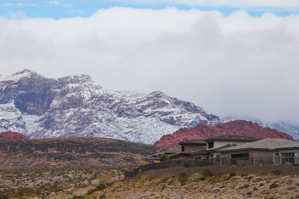
At Kyle Canyon the wind chill was 30 with lighter winds and a temperature of 37.
On Saturday night, a gust of 71 mph was recorded on Angel Peak at 6:20 p.m. and 7:10 p.m., said meteorologist Clay Morgan of the National Weather Service. A gust on State Route 158 on Mount Charleston was logged at 49 mph.
Cold and blustery conditions are expected today behind a cold front that blasted through the region this morning. Look out for 40-50 mph gusts at times, especially later this morning and in the early afternoon. #nvwx #cawx #azwx pic.twitter.com/x2pgUU7Fv8
— NWS Las Vegas (@NWSVegas) January 7, 2024
“It is going to be windy and raw on Sunday,” Morgan said of the Las Vegas proper forecast. Wind gusts of 30-40 mph with a high temperature near 50 are expected. Morning wind chills will likely dip below 30.
Winds on Saturday evening were reaching 20-25 mph ahead of the front. Morgan said the front should arrive before sunrise Sunday and winds will shift from the north.
There is a 20 percent chance of snow showers before 10 a.m., Sunday. Patchy and blowing dust is expected between 8 a.m. and 3 p.m., according to the latest weather service forecast.
Traveling on I-15 between Primm and Mountain Pass?
Traffic cameras show areas of blowing dust and reduced visibility. Use extra caution if driving through the area! #nvwx #cawx pic.twitter.com/o1pLb6Rmlw
— NWS Las Vegas (@NWSVegas) January 7, 2024
Conditions in central Las Vegas will be breezy with a north-northwest wind of 22 to 24 mph, with gusts to 37 mph.
The Nevada Department of Transportation issued a traffic advisory Sunday morninh for Interstate 15 from Jean to Primm warning of low visibility due to dust.
Sunday night will be clear and breezy with a northwest wind of 17 to 22 mph, with gusts as high as 31 mph.
Winds will continue on Monday with a high near 51. North winds are expected to be 13 to 18 mph, with gusts to 26 mph.
Contact Marvin Clemons at mclemons@reviewjournal.com. Follow @VegasMarvRJ on X.


