Death Valley storm on Aug. 5 adjusted to record 1.7 inches of rain
The storm that submerged large parts of Death Valley National Park early last month is now officially the rainiest day in the monument’s weather history.
Working with the National Weather Service, park officials have determined the official Aug. 5 rainfall total has been adjusted up to 1.70 inches from the previous 1.46 inches.
Two rain gauges at the Furnace Creek weather station provided different measurements, states a park news release. The weather service initially reported 1.46 inches of rain, which was recorded by an automated gauge. The agency now recognizes 1.70 inches, recorded manually by National Park Service rangers, as the more reliable number. Death Valley typically received 2.20 inches of rain each year.
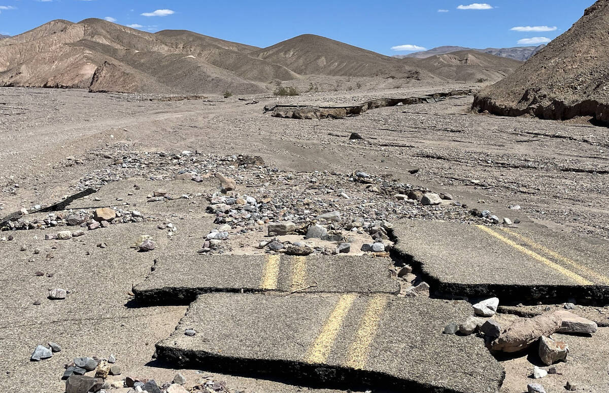
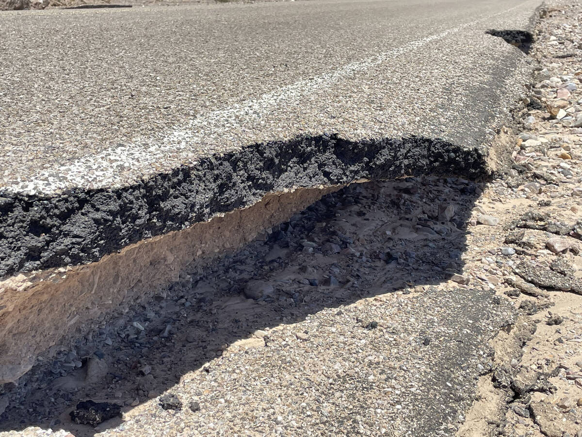
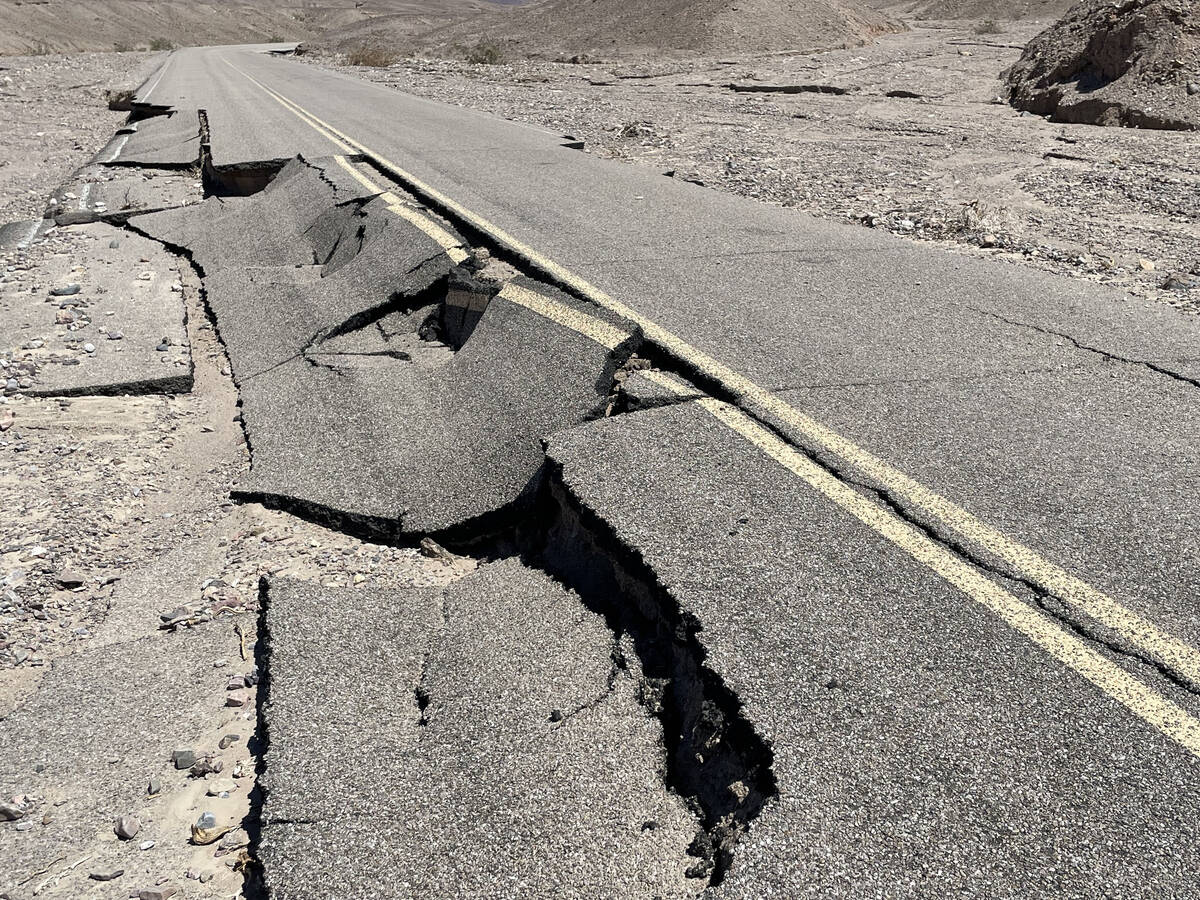
The storm began early in the morning and the majority of rain fell over 3 hours. Many roads or sections of pavement were washed away and several feet of rock and debris cascaded into parking lots, stranding some 500 visitors and 500 staffers for many hours or overnight.
Perhaps a bigger issue than the official rain measurements is the status of road repairs.
Many roads remain closed four weeks after the flood. Drivers should not assume that directions from map apps are accurate for traveling through Death Valley. Information on park road status is at nps.gov/deva/planyourvisit/conditions.htm.
Visitors should not drive past “road closed” signs. This is especially dangerous during heat waves, such as the 120- to 124-degree temperatures forecasted for Labor Day weekend.
There is no cell phone coverage in most of the Park to call for help in case of problems.
The National Park Service and Caltrans have opened the main road into the sprawling park, California Route 190, Dantes View, Badwater Road (only from CA-190 to Badwater), and Artists Drive.
Hotels, restaurants, and gas stations are open.
The Federal Highways Administration has issued a contract to clear debris and fill in road gaps on several major park roads that are closed.
Roads yet to be open include Beatty Cutoff Road, North Highway, Badwater Road (from Badwater to Shoshone) and Mud Canyon Road. No timeline is available.
Initial repairs will allow standard passenger cars to drive on the roads, which will have gravel sections where pavement is missing.
The park also received heavy rain just a week ago, closing Route 190 overnight and causing more flooding and damage to roads.
Contact Marvin Clemons at mclemons@reviewjournal.com or 702-863-4285. Follow @Marv_in_Vegas on Twitter.


