
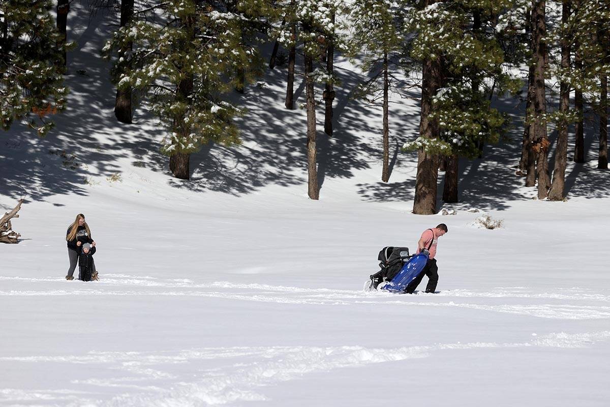
Dangerous winter storm forecast to blow into Las Vegas region Tuesday


Southern Nevada residents and visitors should experience a chilly but calm Monday before a potentially dangerous Tuesday storm is forecast to bring wind, rain and snow to the region.
A Monday high near 60 is forecast with light winds, says the National Weather Service.
Gusty winds will spread eastward on Tuesday, impacting much of the Mojave Desert and Northwestern Arizona. Combined with the expected rain, it'll be an unpleasant day! Look out for crosswinds and longer travel times to your destinations. #cawx #azwx #nvwx pic.twitter.com/QRSpqdDx9W
— NWS Las Vegas (@NWSVegas) December 12, 2021
Conditions will change early Tuesday. Scattered showers are a 30 percent chance after 4 a.m.
A wind advisory covers the entire region for 24 hours starting at 4 a.m. while a winter storm warning is out for the Spring Mountains and Sheep Range.
Wind gusts up to 50 mph, heavy rainfall and up to a foot of snow are forecast.
Travel warnings
The winter storm could create very hazardous travel in the mountains and elsewhere, meteorologist Trevor Boucher said.
“There’s a very good chance we could see a quarter on an inch of rain across large portions of the valley and up to a foot of snow in the mountains above 7,000 feet with 4 to 8 inches above 5,000 feet,” Boucher said.
The storm should leave the area early Wednesday when a high near 51 is forecast.
Contact Marvin Clemons at mclemons@reviewjournal.com. Follow @Marv_in_Vegas on Twitter.


