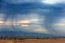
Dangerous winds, thunderstorms possible for Las Vegas area

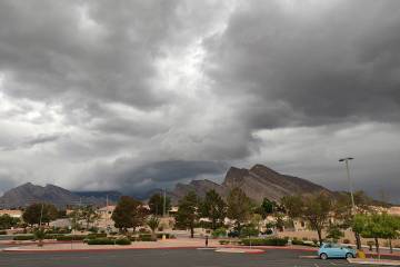
Sunday has the potential to bring some windy and potentially dangerous weather to the Las Vegas area.
Those conditions could include gusty winds, microbursts and rather dry thunderstorms that could generate lightning-caused wildfires.
“The biggest problem is the potential for strong winds of 40 to 50 mph near any thunderstorms,” National Weather Service meteorologist John Adair said of the latest forecast.
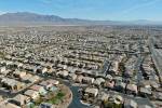
All of Southern Nevada is included in a red flag warning from 11 a.m. to 11 p.m. Sunday.
The warning means lighting strikes associated with potential dry thunderstorms could cause wildfires in the relative dry humidity with little or no falling rain to put the fires out.
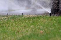
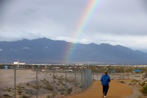
The forecast high is 98 and official rain chances are 20% after 11 a.m. Wind swill be 6-11 mph in the morning, increasing to 15 to 21 mph in the afternoon. Winds gusts could reach 30 mph.
The rain and thunderstorm chances diminish to 10% before 9 p.m. The skies will be partly cloudy overnight with a low around 70.
Monday will have a high near 93 with some gusts winds and sunny skies. Highs by the middle of the week will be in the upper 80s.
“The moisture will be pushed out Sunday night and it will be dry the rest of the seek,” Adair said. “Temperatures will return back to the normal in the upper 80s. The hot weather streak will break and doesn’t look like it will be back soon.”
Contact Marvin Clemons at mclemons@reviewjournal.com or 702-863-4285. Follow @Marv_in_Vegas on Twitter.