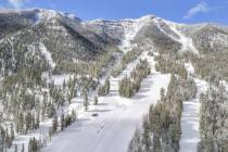
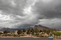
Cooler weather coming on heels of record-tying high


A cold front will bring cooler temperatures and winds this weekend after record-tying heat Friday in the Las Vegas Valley, the National Weather Service said.
Friday’s high of 78 tied the 2015 record for the day, the weather service said. The average forecast high for this time of year is about 62 degrees.
Saturday’s high will top out at 73 degrees before the cold front arrives in the evening.
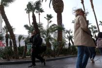
The weather service forecasts sustained winds between 20 and 30 mph, with gusts between 40 and 45 mph. It has issued a wind advisory for 2 p.m. through 10 p.m.
Winds should die down overnight into Sunday, where the forecast high is 62 degrees.
“We’ll still be running a little bit above normal after the cold front but definitely closer to the normal values for this time of year,” meteorologist Alex Boothe said.
Temperatures in the mid-60s will follow Monday through Wednesday, according to the weather service.
“The main concern this weekend is gonna be wind,” Boothe said. “Then we’ll shift our attention to some potentially light showers through the beginning of the week.”
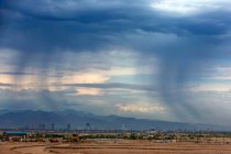
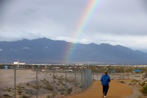
A low-pressure system coming in on Tuesday could bring some cloud cover and a 20 percent chance of showers.
Mostly sunny skies should return on Wednesday.
Contact Rio Lacanlale at rlacanlale@reviewjournal.com or 702-383-0381. Follow @riolacanlale on Twitter. Review-Journal staff writer Mike Shoro contributed to this story.