Clouds, rain, snow to erase early look at spring in Las Vegas

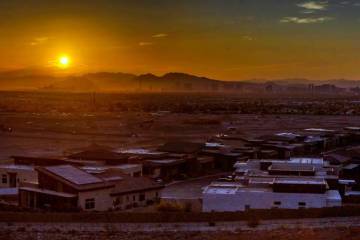

Goodbye to our early peek at spring. Three days of sunshine and 70 plus highs are gone.
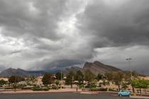
Although Wednesday temperatures will still be above the norm, the day will see increasing clouds with the forecast the rest of the week offers rain, snow and December-like temperature, says the National Weather Service.
Enjoy the warm temperatures while they last, cooler and wetter conditions will return later this week, with widespread rainfall possible on Thursday. #azwx #cawx #nvwx 🌧️ pic.twitter.com/J0tlH52clk
— NWS Las Vegas (@NWSVegas) January 30, 2024
The Wednesday high should be near 68, coming after three consecutive days of 70 degrees plus. Winds will stay below 10 mph.
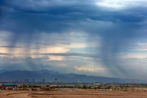
A chance of rain enters the picture after 4 a.m. Thursday. The precipitation chances increase into the evening with a 100 percent chance, said meteorologist Morgan Stessman.
Rainfall of a quarter to a half-inch is possible across the Las Vegas Valley.
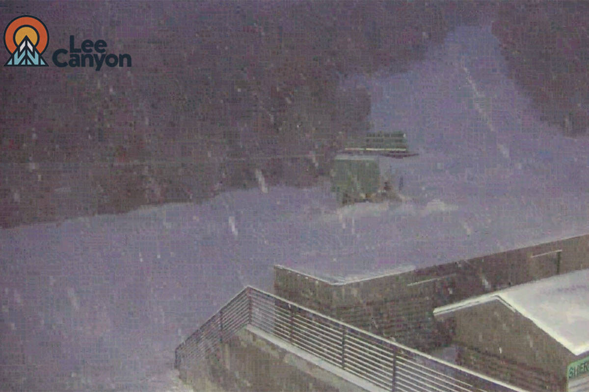
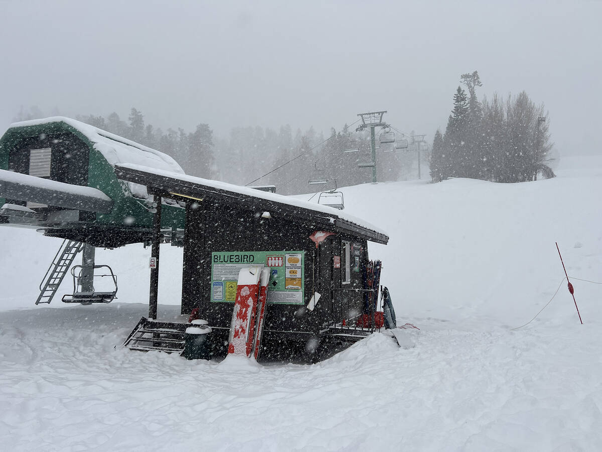
Heavy snow forecast
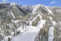
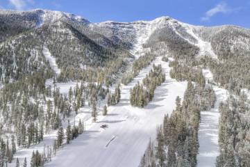
The storm is expected to bring substantial snow to the Spring Mountains, Sheep Range and Red Rock Canyon.
A winter storm watch runs from late Wednesday through Friday evening.
Heavy snow of 8 to 16 inches is possible above 7,000 feet, with 3 to 8 inches between 6,000 and 7,000 feet.
Travel could be very difficult to impossible on Nevada routes 156, 157 and 158, says the weather service.
An atmospheric river of moisture is forecast from Northern California to the Pacific Northwest. The Sierra Nevada Mountains may receive 2-3 feet of snow
In Las Vegas, clearing will begin Friday morning with partly cloudy skies and an afternoon high near 57.
Contact Marvin Clemons at mclemons@reviewjournal.com. Follow @VegasMarvRJ on X.