‘Closer’ to normal: What Rockies snowpack could mean for Lake Mead
For Nevadans at the forefront of the West’s water crisis, snowpack in the Rocky Mountains that eventually trickles down to Lake Mead is always front of mind.
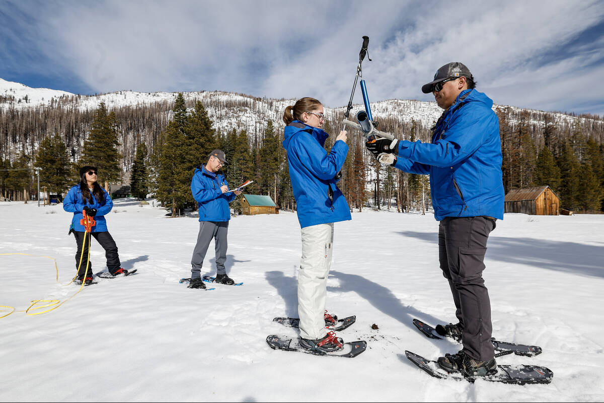
Following an incredibly wet year that brought the Colorado River basin a brief reprieve, early signs point to a less impressive snowpack this time around, said Paul Miller, a hydrologist at the National Weather Service’s Colorado Basin River Forecast Center in Salt Lake City.
Current estimates place the Upper Colorado River Basin snowpack at 103 percent of a 30-year historical average — a noticeable downgrade from last year at this time, when the snowpack hovered around 130 percent.
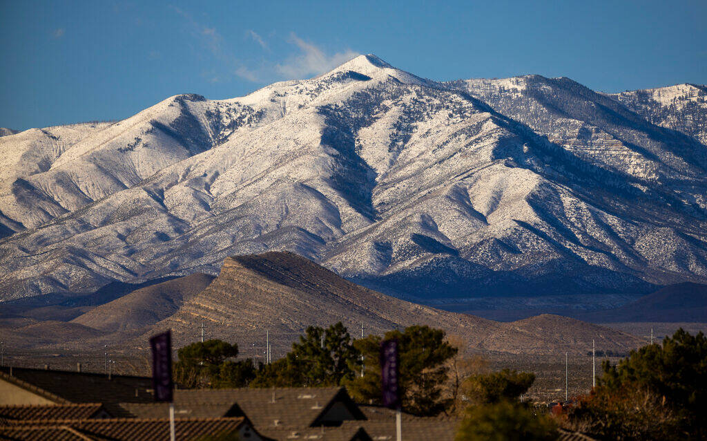
🛰️ view of the snowpack on the Spring Mountains. Hard to live up to last year's snowpack (2nd photo for comparison).
Images courtesy of @ESA_EO. #nvwx pic.twitter.com/4mAY9UQ1xm
— NWS Las Vegas (@NWSVegas) March 12, 2024
Not every year can be as wet as water managers want it to be, but the numbers are providing some hope, Miller said. Generally, wet years are followed by dry ones.
“It’s a positive that we haven’t gone from one extreme to the other so much this year,” he said, cautioning that numbers have historically fluctuated before snowpacks peak around the first week of April. “We’ve gone from a very wet extreme closer to a normal balance.”
Throughout the Sierra Nevada, though, blizzards between Feb. 29 and March 4 have bolstered the state’s snowpack in every basin. This is good news for rural Nevadans who rely on wells that draw groundwater from those basins, which will be heartily recharged if snowpack continues down this path.
Basins unclear on path forward
Snowpack levels are underscored by the race to update river appropriations before they expire at the end of 2026.
Upper Basin states — Wyoming, Utah, Colorado and New Mexico — disagree with the Lower Basin states — California, Nevada and Arizona — as to whether cuts in water allotments should be shared across the basin.
Both groups of states have proposed, however, that the Lower Basin will need to take cuts to account for water loss to evaporation and transit.
Lake Mead, the reservoir that provides about 90 percent of Southern Nevada’s water, is set to dip close to historic lows seen in 2022, according to Bureau of Reclamation projections.
At the end of February, the water level sat at 1,076.52 feet, compared with 1,040.58 feet in July 2022 at the lowest-ever level.
Regulators are counting on snowpack to provide breathing room in the water supply for negotiations to shape up over the next two years, but whether that will happen remains to be seen.
“We’ll cross our fingers for continued snowpack conditions,” Miller said.
Contact Alan Halaly at ahalaly@reviewjournal.com. Follow @AlanHalaly on X.


