Another round of monsoonal storms hits Las Vegas Valley
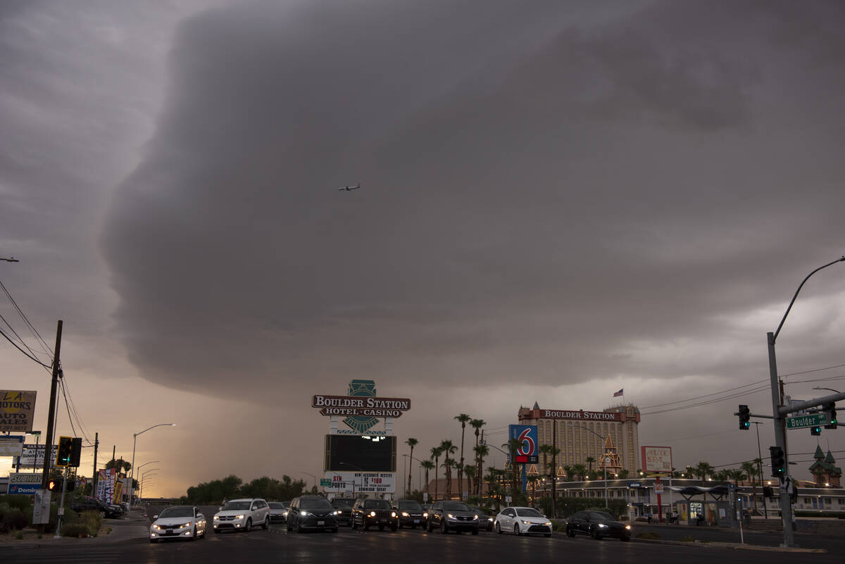
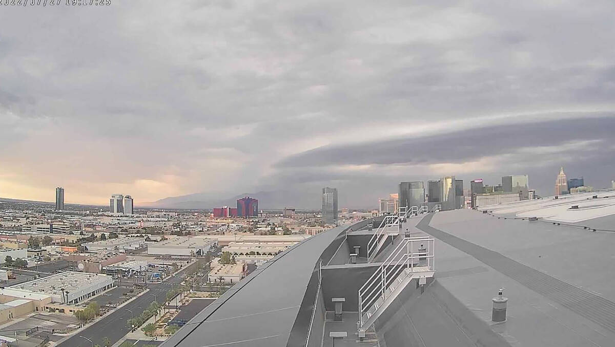
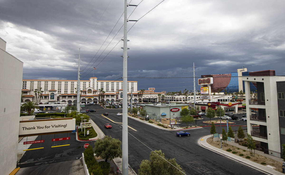
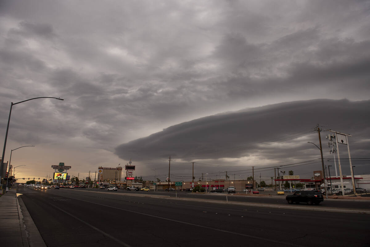
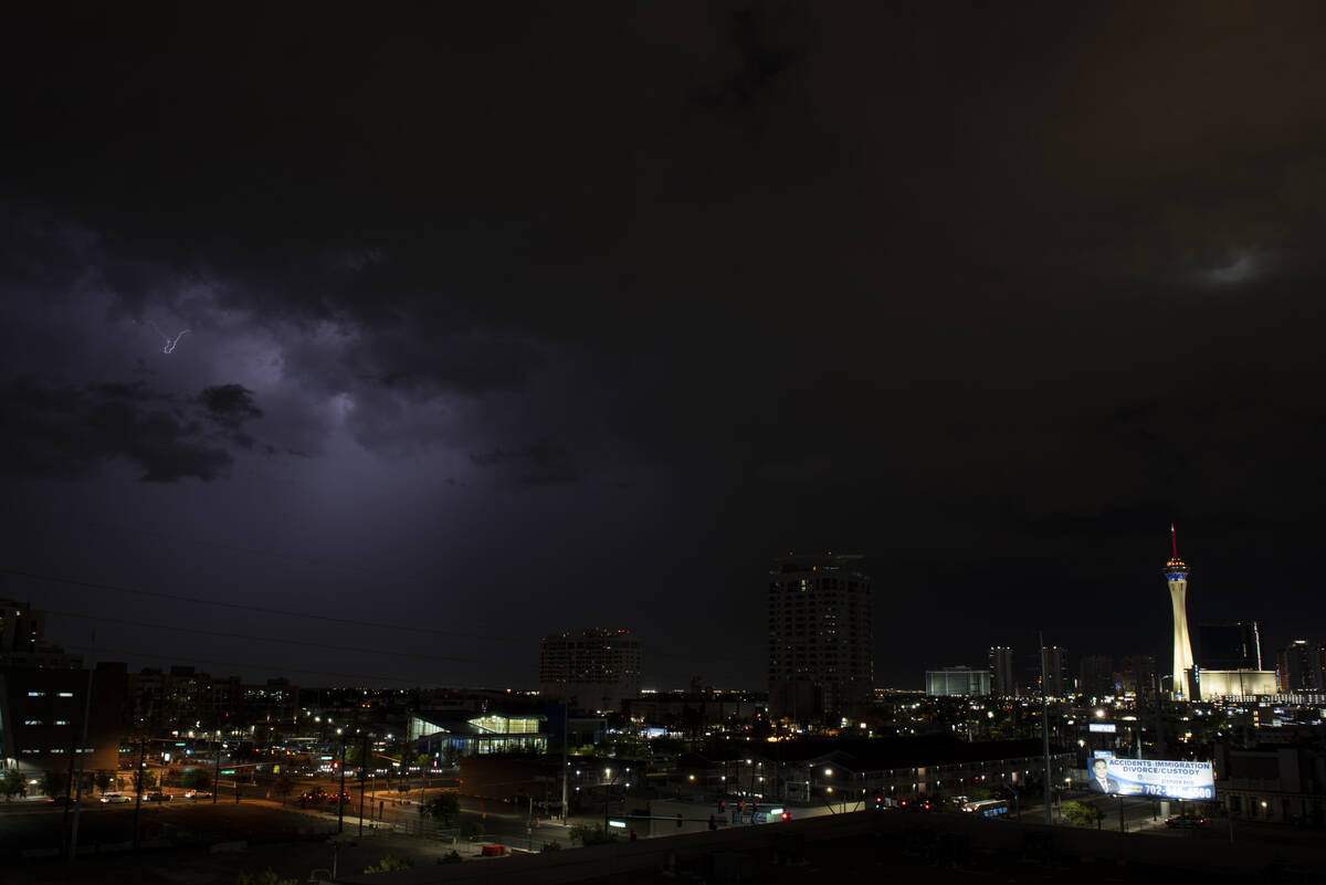
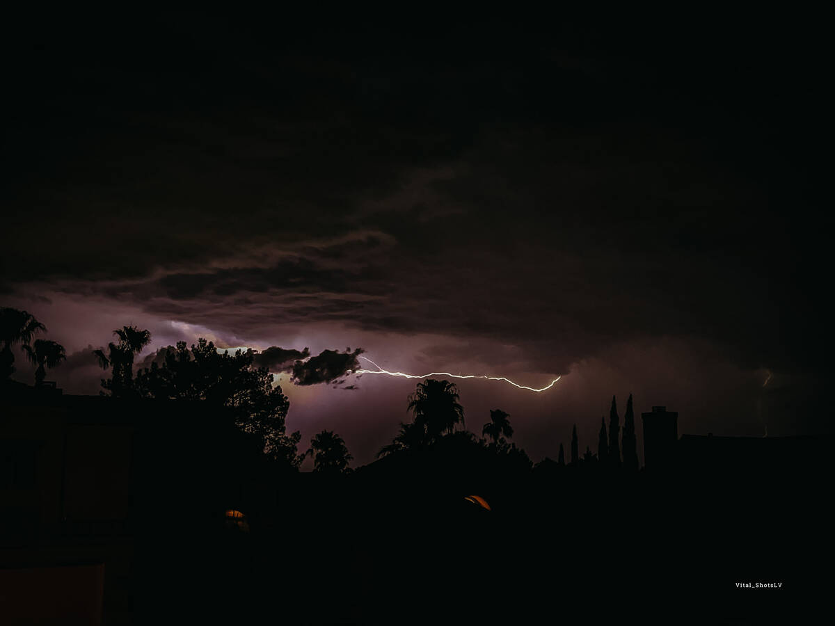
A large portion of Las Vegas saw at least a little bit of rain Wednesday as monsoonal storms again pushed into the valley.
A flood advisory for the valley expired early Thursday after some showers arrived in the evening. Eastern areas of the valley, including Henderson, appeared to see the most rainfall.
At 9:45 p.m., meteorologist Jenn Varian said there was rain all around the valley except at Harry Reid International Airport, the official measuring station, which only saw a trace.
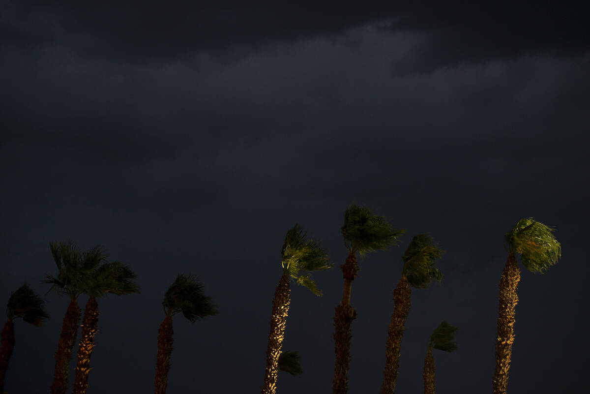
Regional Flood Control District gauges showed rain in most places around the area except in the central valley near the Strip. Winds up to 60 mph were recorded near Nellis Air Force Base. After the bulk of the storms passed, the temperature dropped into the upper 70s in Las Vegas.
The storms returned after a dry Tuesday. On Monday, scattered thunderstorms fell across parts of Las Vegas after a hot, dry weekend.
Afternoon storms
Earlier Wednesday, monsoon rains dropped considerable water on Primm, Jean, Boulder City and Henderson.
A Regional Flood Control gauge northeast of Primm showed 1.38 inches while gauges showed 0.28 of an inch received in Jean, Boulder City and Henderson.
Later in the day, Mesquite and St. George were the rain recipients.
That cell gradually moved southwest, mainly down down Interstate 15 toward Las Vegas and arrived around 7 p.m.
Some ponding was reported on Galleria Drive in Henderson, the weather service said. Street flooding was visible at East Tropicana and Mountain Vista.
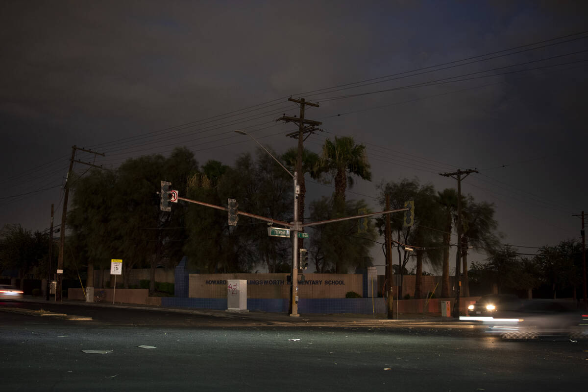
10K without power
NV Energy crews were working to return power to just over 10,000 Las Vegas customers after the storms. Outages were reported in about 30 locations, primarily in the central and east side of the valley. By 11:15 p.m., about 4,700 customers were lacking power, according to the company’s website.
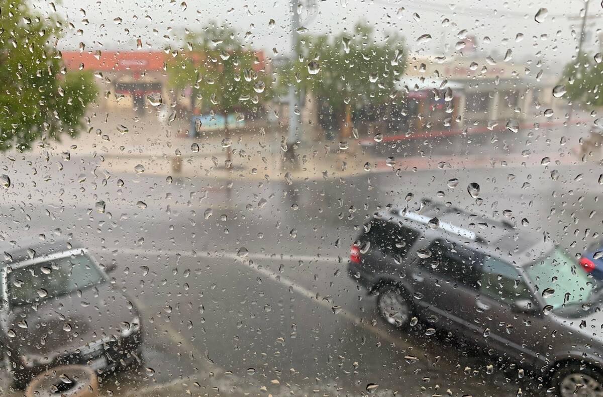
The rain is traveling horizontally and hitting our upstairs windows. The streets downtown are getting flooded. pic.twitter.com/h4i4Q2prus
— Boulder City Review (@BCReview) July 27, 2022
The afternoon storms were mostly confined to the southeast valley and along I-15 toward Primm.
“Parts of the east side also got about a quarter of an inch at Sam Boyd Stadium,” meteorologist Ashley Nickerson said. “Traffic slowed southbound on Interstate 15.”
A gauge near Duck Creek north of Mountain Vista received 0.35 of an inch while the area near Sam Boyd showed .31 of an inch and Green Valley showed .16 of an inch.
Near Mount Charleston, 0.59 of an inch fell at Harris Springs and 0.20 of an inch just to the west.
There was stronger rain about 4:30 p.m. near St. George, Nickerson said. There were moderate to heavy cells showing on radar about 5 miles northeast of Mesquite and smaller cells over I-15 between Mesquite and St. George.
A gauge north of Mesquite and south of Littlefield, Arizona, received 0.83 of an inch around 5 p.m. with 0.51 of that coming down in a 15-minute period.
Contact Marvin Clemons at mclemons@reviewjournal.com. Follow @Marv_in_Vegas on Twitter.


