

1 more day of storm risk before drier air hits Las Vegas
Temperatures go to mid 100s next week
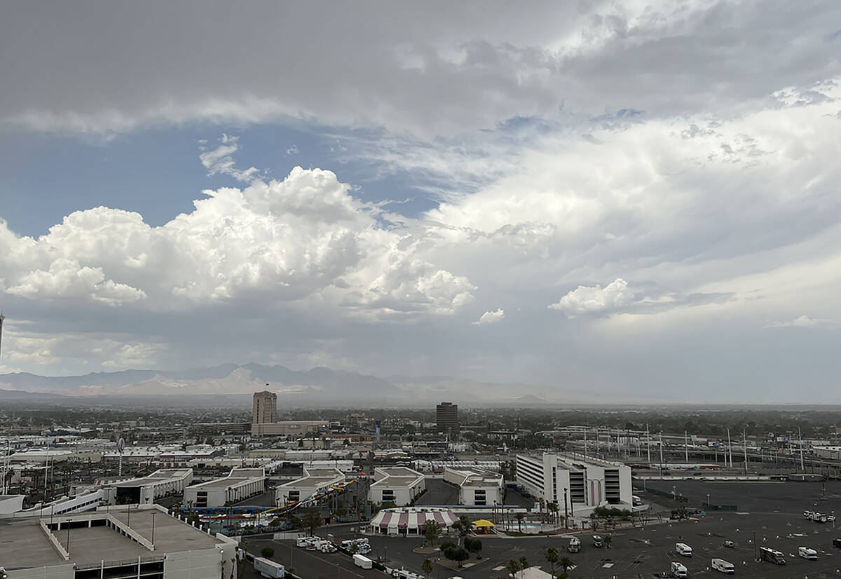
Monsoon conditions are a 20 percent chance on Thursday, July 25, 2024, according to the National Weather Service. Clouds gather over the Las Vegas Strip on Thursday, July 18, 2024. (Caitlin Lilly/Las Vegas Review-Journal)


Updated July 25, 2024 - 7:04 am
Monsoon activity may have one last shot at the Las Vegas Valley on Thursday before humidity levels drop heading into the weekend.
Clark County says cooling stations will remain open through Thursday as the excessive heat warning was pushed back to 11 p.m.
Drier air is forecast to return to the valley, says the National Weather Service.
Isolated showers are a 20 percent possibility Thursday with a high temperature near 112. Winds could gust to 20 mph. The shower chances drop to 10 percent Thursday night.
Friday will be sunny and hot with a high near 110. Winds may gust to 25 mph.
Highs for the weekend are predicted at 105 on Saturday and 104 on Sunday.
Overnight lows will be around 80.
Contact Marvin Clemons at mclemons@reviewjournal.com.


