Proposed work at Red Rock includes new scenic loop escape route
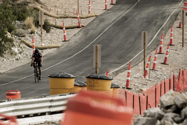


One of Southern Nevada’s most popular outdoor recreation spots could soon get its first major upgrade in 20 years, including a new return road that will let visitors escape the busiest part of Red Rock Canyon National Conservation Area without driving the entire 13-mile scenic loop.
The Bureau of Land Management is considering construction of a 2.4-mile road that would would allow motorists to leave the loop at Sandstone Quarry and return to the visitor center.
The return road is one of several proposed improvements designed to ease traffic flow and relieve congestion on the scenic loop, which was built in 1995 and now becomes so clogged with vehicles the BLM is forced to temporarily close it around Thanksgiving and other busy holiday weekends.
The bureau will spend the next three weeks gathering public input on a draft environmental assessment of its plans. As part of that effort, the agency is holding two public meetings at 2 p.m. and 6 p.m. Tuesday at the Red Rock visitor center to explain the project and why it’s needed.
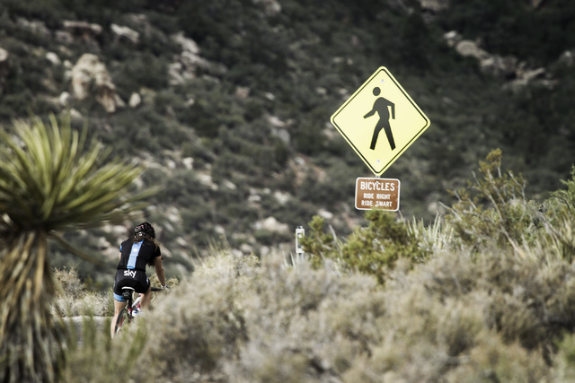
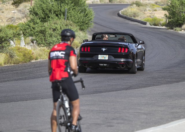
“The work will improve traffic flow and safety for vehicles, bicycles, equestrians and pedestrians,” said Josh Travers, supervisory outdoor recreation planner for the 198,000-acre conservation area.
The proposed return road should reduce traffic on the scenic loop by allowing motorists a quick way back to the visitor center after the three most popular stops on the road: Calico Vista 1, Calico Vista 2 and Sandstone Quarry. Travers said those places are especially prone to congestion because that’s where visitors can most easily get “up close and personal with the brilliant red rock” that gives the area its name.
Those stops also see the highest volume of search-and-rescue calls, and the return road would make it easier for emergency vehicles to get in and out, even on the busiest of weekends, Travers said.
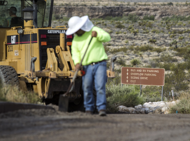
The bureau also plans to expand or improve 12 trail-head parking areas; repave the entire loop; add pavement to White Rock and Oak Creek roads; repair the pavement on Moenkopi and Rocky Gap roads; and improve road signs throughout the area.
The proposed parking improvements would almost double the total number of spaces along the scenic loop, from 331 to 600.
If the bureau proceeds with the project, construction would likely begin in December and take about a year. No cost estimates are available yet because the scope of the work is likely to be shaped by public input now being collected.
Kirsten Cannon, spokeswoman for the BLM in Southern Nevada, said any work will be paid for with a mix of federal transportation funds and the proceeds from the sale of federal land in the Las Vegas Valley.
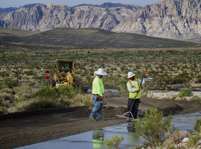
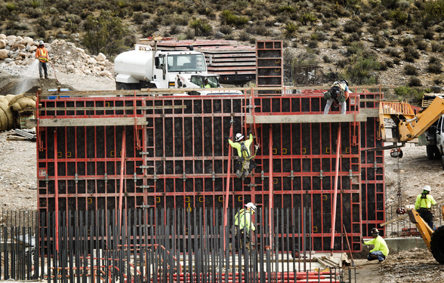
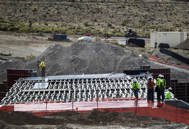
Some work at the conservation area is already well underway. The construction of two bridges over the Sandstone and Red Rock washes began in January, as did some changes to the visitor center parking lot meant to improve traffic flow.
Red Rock Canyon drew 20,000 people the year its original visitor center opened in 1982. It’s now the nation’s busiest BLM site with more than 1 million annual visitors.
The environmental assessment is available online at http://on.doi.gov/1IiVcJ7. The deadline for public input is July 14.
Comments can be sent by e-mail to cwise@blm.gov or mailed to: Carla Wise, Proposed Scenic Drive Improvements, BLM SNDO, 4701 Torrey Pines Dr., Las Vegas, NV 89130.
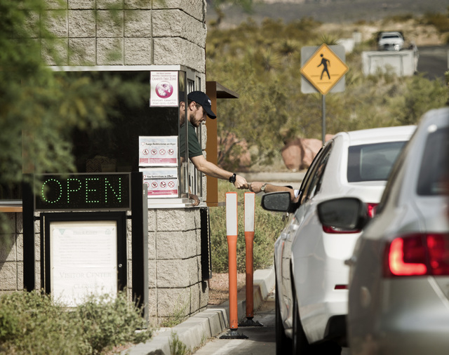
Comment cards also will be available at Tuesday’s meetings. Those who attend can enter the conservation area for free by telling the attendant at the entrance to the scenic loop.
Contact Henry Brean at hbrean@reviewjournal.com or 702-383-0350. Find him on Twitter: @RefriedBrean


