Apple maps app becomes more useful for travelers in Nevada


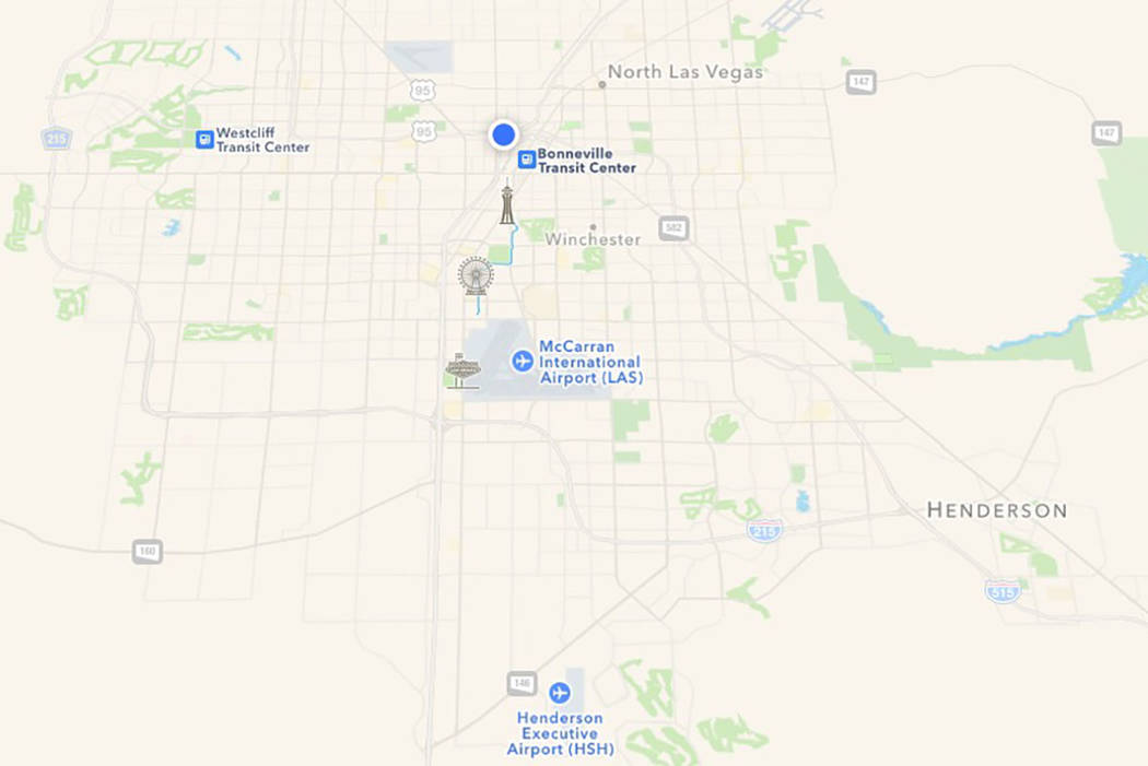
Apple maps recently became more useful in Nevada.
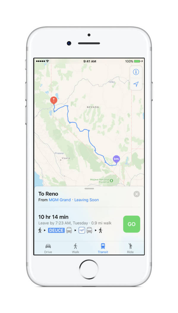
Users will now be able to use the app to view transit options for for Reno, Sparks, Carson City, Las Vegas and Henderson, the company confirmed on Wednesday to the Review-Journal.
The transit options include:
- Long-distance Silverado bus line, which connects Northern and Southern Nevada
- Amtrak
- RTC Washoe
- RTCSNV, including Deuce and SDX
- JAC
- Las Vegas Monorail
- McCarran Airport Inter-terminal shuttle, which connects terminal 1 to terminal 3
“When navigating by car, you can also ‘Search Along Route’ to find coffee, or the closest gas, or electric vehicle charging station, as well as choose to avoid tolls with a new toggle option that maps alternative routes,” an Apple spokesman said.
The spokesman added that iOS 11, coming later this year, will provide users with detailed indoor maps for malls and airports.
Apple representatives drove around parts of England, France, Italy and the U.S. collecting data to improve Apple Maps earlier this year. It’s possible motorists have shared the road with Apple drivers in Carson City, Clark County, Douglas County, Lyon County, Nye County, Storey County and Washoe County between May and June.
The company said at the time that some of the data collected would be published in future Apple Maps updates, and that faces and licensed plate would be blurred on collected images prior to publication.
Contact Nicole Raz at nraz@reviewjournal.com or 702-380-4512. Follow @JournalistNikki on Twitter.


