Ready for cool summer hikes? Utah has just the place for you


Summertime means Shakespearean plays brilliantly brought to life in a Utah town just three hours to the north. Cedar City also sets the stage for plenty of walking and hiking opportunities for Southern Nevadans seeking cooler mountain air.
Options include challenging red rock treks, easy-yet-scenic walks and mellow meanderings through the town’s history. Many choices exist whether visitors want to fill time between performances or enjoy a getaway without the Bard.
Because of the popularity of the Utah Shakespeare Festival and nearby Brian Head ski resort, there are many reasonably priced hotels and good food finds in Cedar City. Grocery stores and sandwich shops stand by to help hikers pack lunches for the trail.
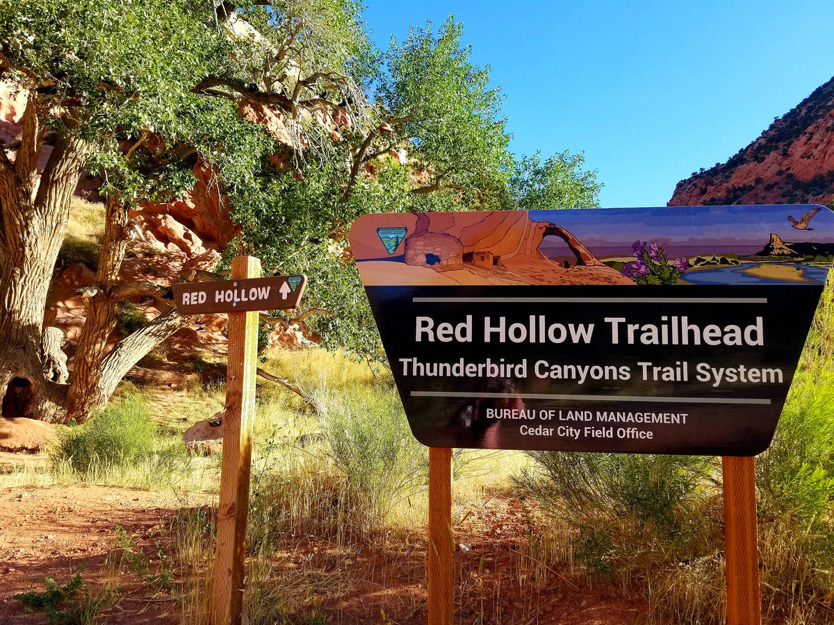
Red Hollow and Thunderbird Canyons Trail System, Cedar City
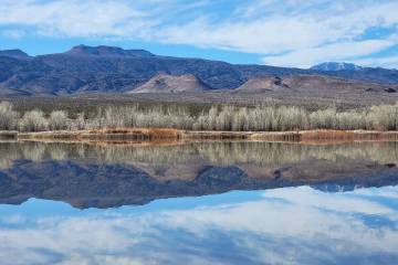
The Red Hollow trailhead is just east of town, less than a mile up Cedar Canyon on Highway 14. A parking area on the left has a large shade tree and a Bureau of Land Management sign marking the trailhead, an access point to Cedar City’s 12-mile Thunderbird Canyons Trail System. The parking area is across Highway 14 from a paved walking path that follows Coal Creek a short distance up the canyon.
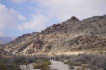
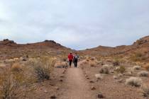
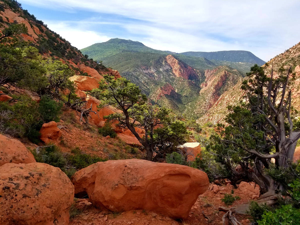
We chose to hike Red Hollow early in the morning to avoid the heat. Although Cedar City sits at 5,800 feet, the high desert’s sun still stings. Red Hollow’s well-maintained dirt path is initially steep, traverses rocks and boulders and has a few switchbacks that all lead to splendid views of red rocks and deep green forest. Shade was partially on our side during this moderately challenging hike, thanks to valley walls and clumps of juniper and pinyon trees.
Stunning geology is a constant in the narrow valley, where Red Hollow trail leads to Thor’s Hideout. Penstemons, asters and primroses were among the wildflowers we found along the way. Hikers follow the up-and-down path as far as their comfort levels and time constraints permit. We hiked about 1.5 miles before turning around.
There is a second way to access the Thunderbird Canyons Trail System. After driving through downtown Cedar City while heading north on Main Street, continue to 900 North. Make a right there and follow the road around the Cedar Ridge Golf Course and through the hills until you reach a designated parking area and trailhead.
Ramparts Trail, Cedar Breaks National Monument
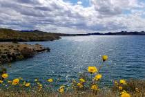
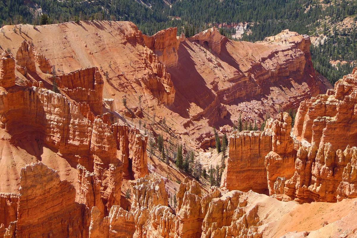
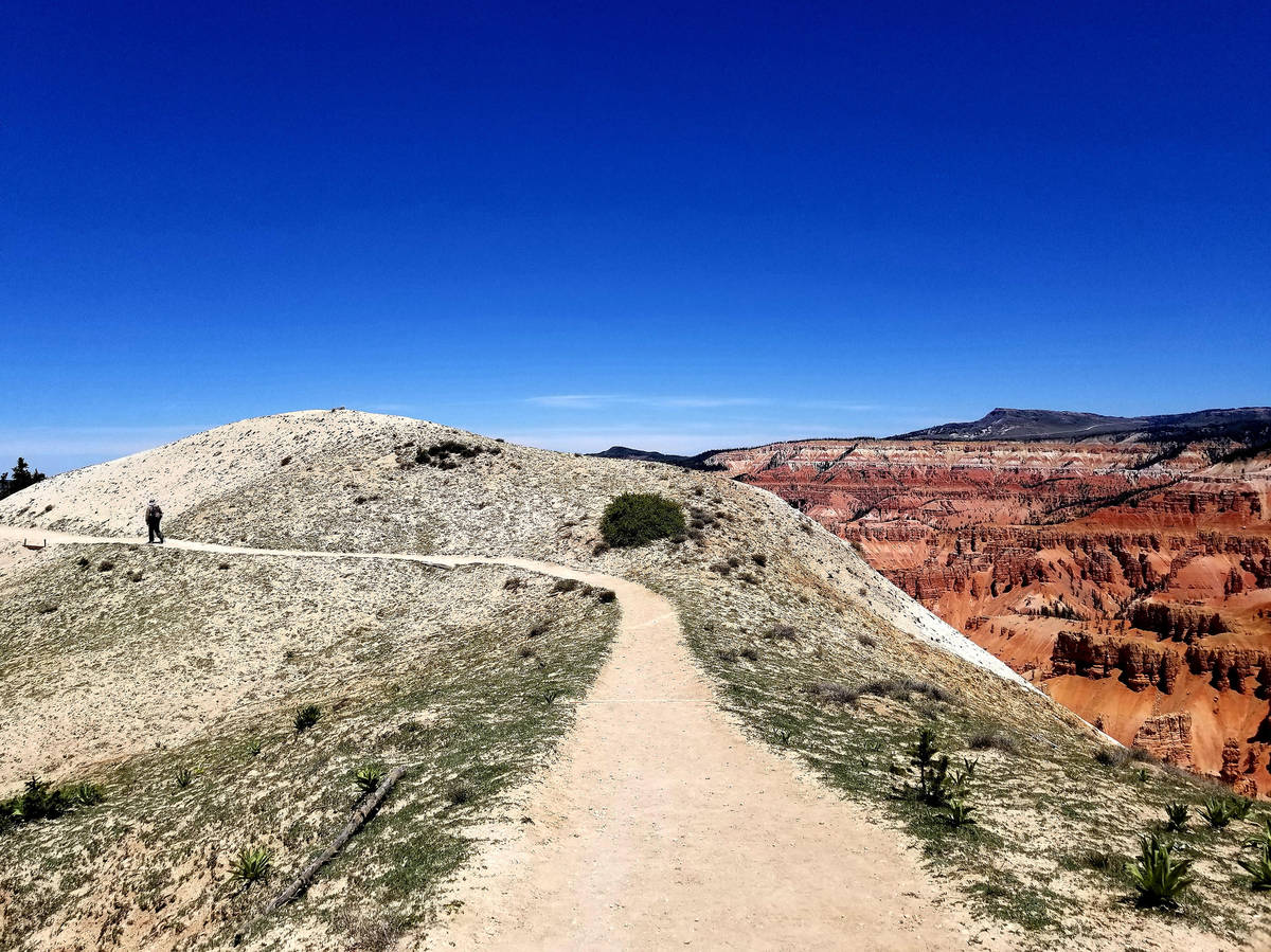
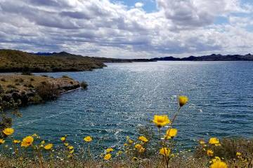
A 20-mile drive uphill on scenic Highway 14 from Cedar City leads to Cedar Breaks National Monument, an amphitheater of gigantic and spectacular proportions that you shouldn’t leave unseen. A few hours hiking along its rim is the finest way to appreciate the grandeur of a geologic bowl that’s more than 2,000 feet deep and some 3 miles in diameter, with an eclectic assortment of red, orange, pink and white formations that include hoodoos, fins and arches. For an ideal, if strenuous, way to take in the high-elevation magnificence of Cedar Breaks, strike out on the Ramparts Trail.
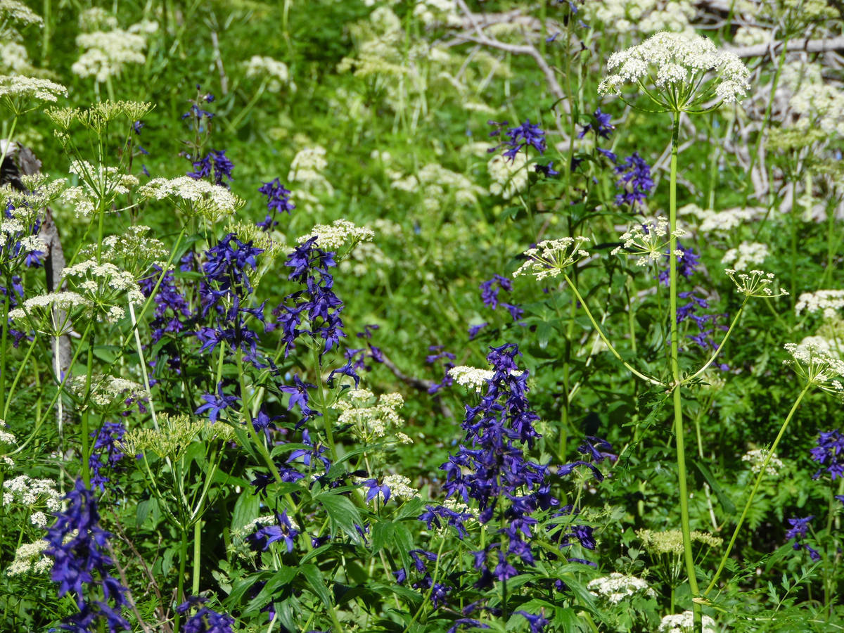
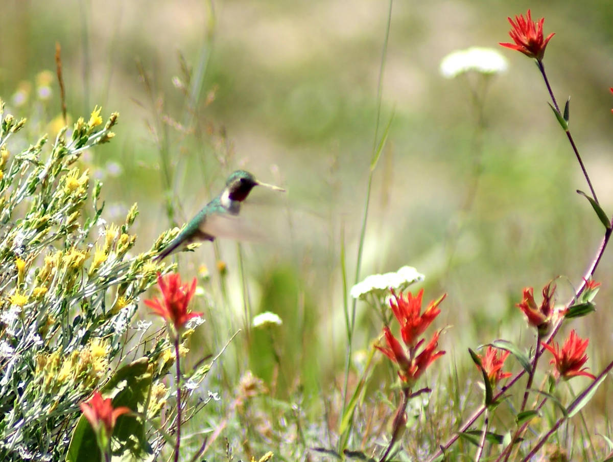
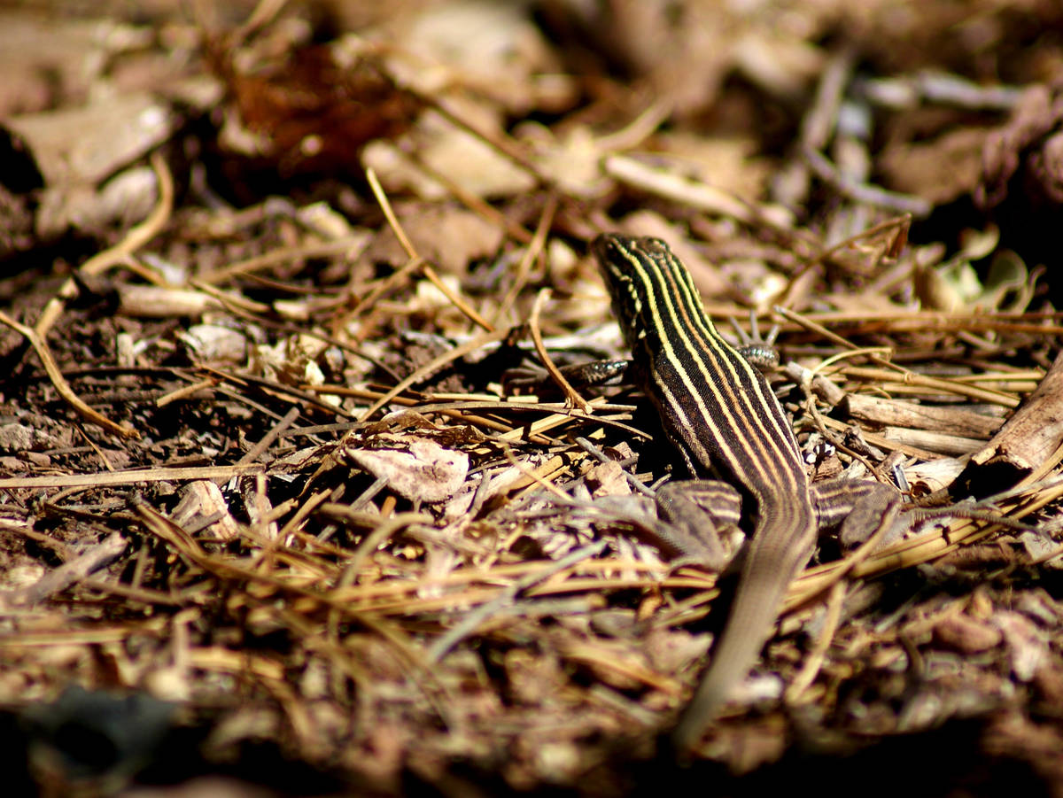
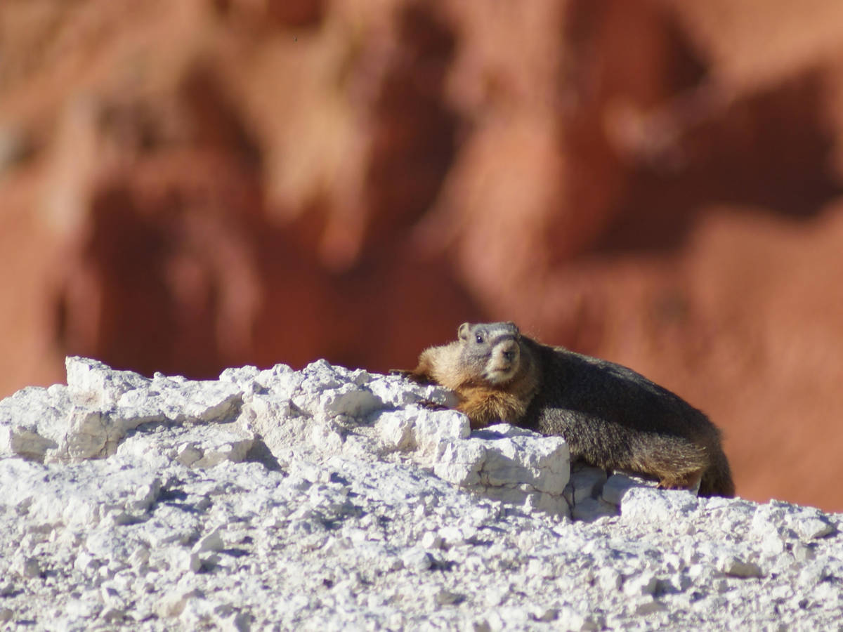
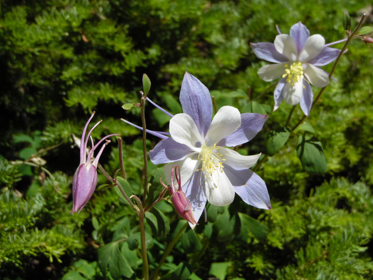
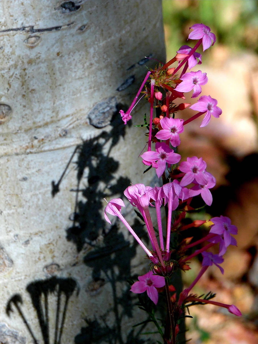
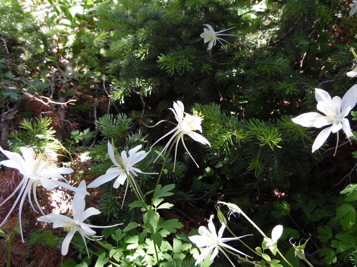
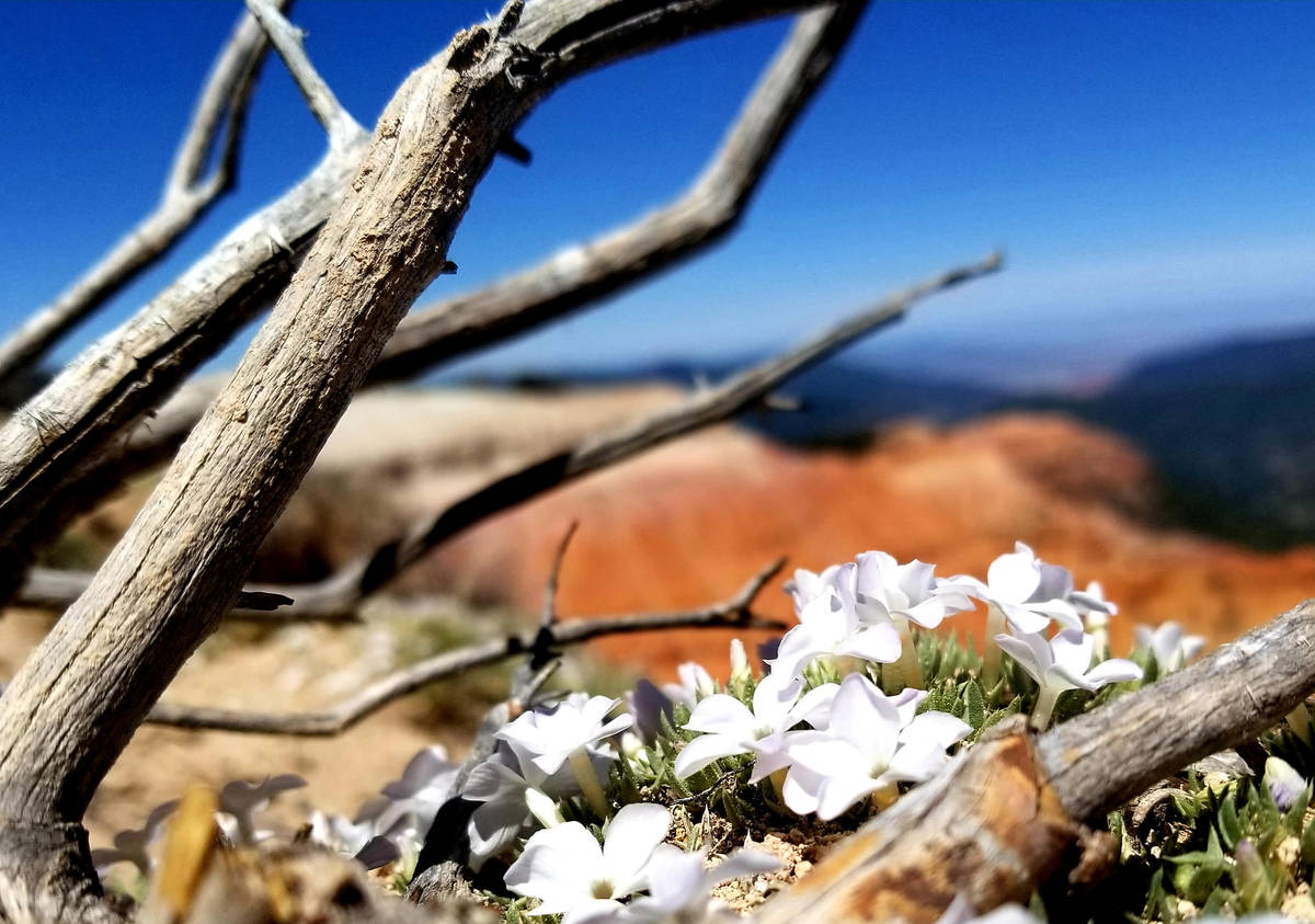
This out-and-back hike of 4 miles offers sweeping views of stunning geology while affording close-ups of elegant flowers like cushion phlox clinging to life on the edge. You might hear yellow-bellied marmots whistling from their precarious perches just above the amphitheater’s drop-offs or hiding under exposed tree roots along the trail. Bluebells, larkspurs and Indian paintbrush flowers add color to forested pockets. With their long tails and starlike flower faces, mostly white Colorado columbines appear to be flying through greenery like comets or shooting stars. Also seen on this trail are ground squirrels, whiptail lizards and birds including pine siskins, mountain bluebirds, pine grosbeaks and broad-tailed hummingbirds.
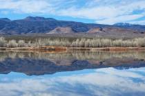
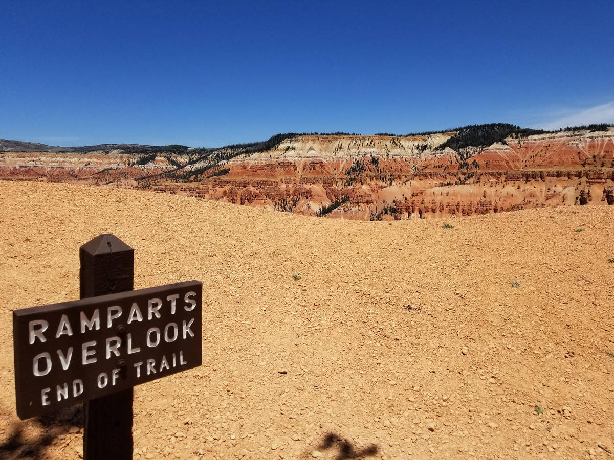
The Ramparts Trail ascends and descends for the first mile before reaching Spectra Point, where much amphitheater beauty is on display. Many visitors turn around at this spot, and they still will have enjoyed much of the trail’s wonder, including the monument’s mighty, gnarled and ancient bristlecone pines. But hikers who continue on will feel more of Cedar Breaks’ awe after enduring additional switchbacks, discovering more floral life and eventually looking over the guard-railed edge at the view from the trail’s end.
Extra critters, flowers and amazing panoramas 10,000 feet above sea level will come into view on the return route.
While the Point Supreme area of Cedar Breaks will be in transition through 2022, Ramparts Trail will remain accessible. Point Supreme Overlook, the main Cedar Breaks National Monument visitor area, and most of its parking lot closest to Highway 14, will remain closed during construction of a new visitor center. There is limited parking for those planning to hike the Ramparts Trail, which starts at the south end of the parking lot. Visitor services are still offered nearby at a new information center on the east side of Rim Road, and other Cedar Breaks overlooks along Highway 148 will remain open during construction.
2021 Cedar Breaks visitor guide from the National Park Service: www.nps.gov/cebr/planyourvisit/2021.htm
Walkabouts within city limits
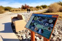
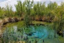
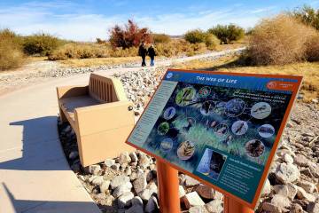
Want to know more about how the town’s citizens baked bricks in their kitchens to help build what’s now Southern Utah University? Wish to see how Cedar City has honored its veterans? Hope to find out about the founding businesses on Main Street? Ready to lose your thoughts while walking next to running water or in the shadow of nearby mountains? Paved trails and sidewalks can help you turn those Cedar City goals into accomplishments.
Free maps found in Cedar City businesses and hotel lobbies mark a 1-mile downtown route with QR codes that let visitors discover the history of some of the town’s first buildings. A scavenger hunt with photographs helps walkers spot architectural details they might otherwise miss. Other maps show miles of paved paths that follow the base of Cedar City’s mountains (East Bench Trail) and take walkers to Veterans Memorial Park along the 3.4-mile Coal Creek Walking Trail. And you can always follow personal interests and make discoveries. Meandering through the shady campus on a quiet morning was how I learned about the remarkable history of Southern Utah University.
Hiking opportunities are bountiful in and around Cedar City, whether visitors are looking for an outdoor adventure before a Shakespeare play or hoping that a gain of 3,800 to 8,000 feet in elevation will help them escape a couple of days of Southern Nevada’s scorching summer.
Cedar City visitor information: https://visitcedarcity.com/