Southern Utah hike leads to enchanting waterfall
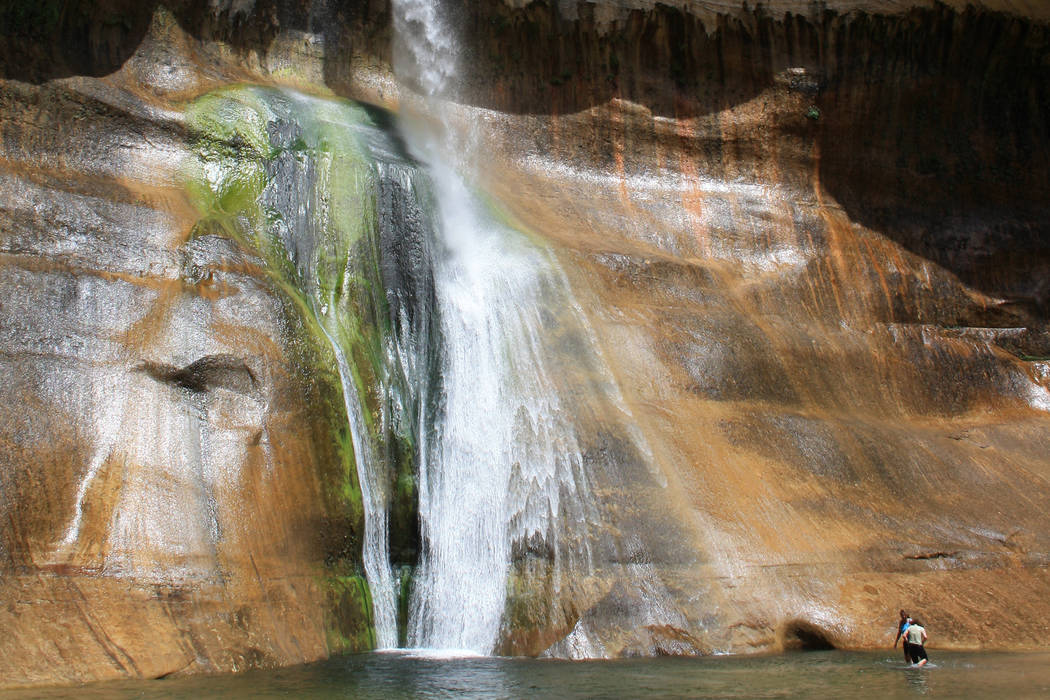
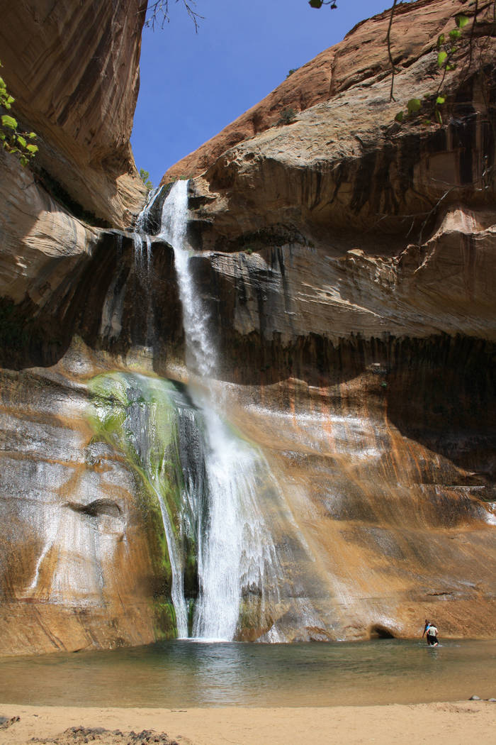
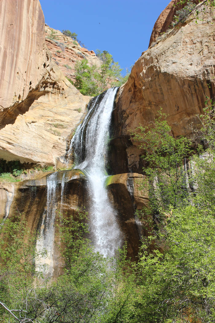
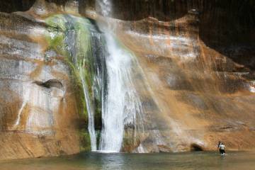
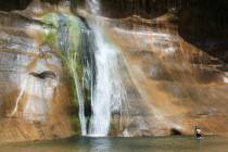
Set within a wide Navajo sandstone canyon, Lower Calf Creek Falls is one of the most stunning waterfalls in Utah.
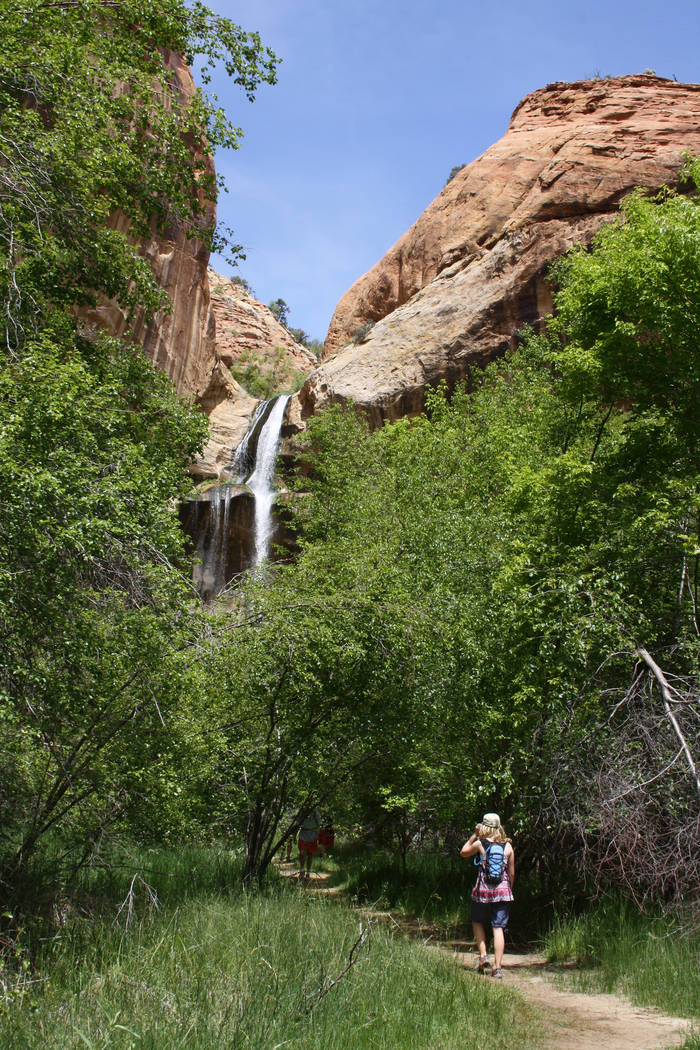
Though the waterfall is your destination, the hike itself offers incredible scenery, including wetlands, beaver dams, prehistoric pictographs and granaries, and beautiful Calf Creek itself.
The trailhead is located in the Calf Creek Recreation Area’s campground, at an elevation of 5,346 feet. The hike is six miles round-trip but only moderately strenuous, as it has only a 190-foot elevation gain. It is also a safe hike for children who can handle the distance.
The hike follows Calf Creek intermittently, and in some areas if you look close you can see brown, rainbow and brook trout. As you get closer to the falls you might find beaver dams that have formed small ponds and marshy areas that support cattails, reeds and river birch.
Wildlife in Calf Creek Canyon includes mule deer, ground squirrels, porcupines and mountain lions. Birds you might see here include wild turkeys, hummingbirds, spotted towhees, peregrine falcons and robins.
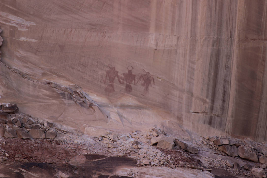
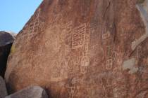
Be sure to bring your binoculars for a better view of the pictographs painted in red pigment on the sandstone cliff face on the far side of the canyon. They appear to be warriors of some sort and are a good representation of Fremont-style rock art.
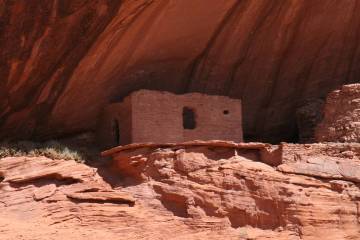
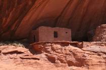
The ancient Fremont culture inhabited Utah from AD 700 to 1300. It is thought that they farmed this canyon, growing corn, beans and squash and harvesting the pinyon pine nuts found in abundance here. You might see the two granaries on the cliffs above the trail. They were used to store food and seeds.
About half a mile before reaching the falls you will hear them even before you see them, as the trail at this point is canopied by mature deciduous trees, primarily box elder.
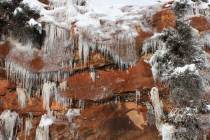
Once out from under the canopy, you’ll have a breathtaking view of the waterfall and large pool beneath. On the cliffs beside the waterfall you will see water-loving plants growing out from nooks and crannies. Look for maidenhair fern, scarlet monkey flower and Easter flower.
If you go
Directions: From Las Vegas take Interstate 15 north 125 miles into Utah, then take the exit for Hurricane/Zion National Park. Follow Utah Route 9 for 57 miles through Zion National Park and turn left onto U.S. 89 north. Follow for 44 miles, then turn a right onto Utah Route 12. Follow for 74.5 miles and go left into Calf Creek Recreation Area and parking area. This will be about 14.5 miles northeast of the town of Escalante.
What to pack: Average daily high temperatures in May are in the high 70s and low 80s with lows in the 40s. Wear hiking shoes, hat and sunscreen, bring food and carry a gallon of water per person. Bring a bathing suit or quick-drying clothes and quick-dry towel for wading or swimming under the falls. If you have water sandals, they will come in handy in the creek and at the waterfall.
Length of stay: Plan on a half-day to hike to the falls and back and at least two nights in the area for camping or lodging in Escalante or Boulder, Utah. Calf Creek Campground has 13 campsites and is managed by the Bureau of Land Management. Dispersed camping is allowed in many parts of the area with a free permit. Contact the Escalante Visitor Center, 755 West Main St., Escalante, Utah. 435-826-5499. The visitor center is open from 8 a.m. to 4:30 p.m. daily. ut.blm.gov/monument.
Trail brochure: At the trailhead, so you don't miss any of the highlights, pick up a trail brochure that lists numbered information sites along the trail. Be sure to start first thing in the morning — dawn is best — to avoid crowds on the narrow trail.


