Put Pine Creek Canyon on top of your short list of hikes to take
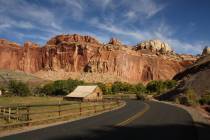
With the temperatures in our region finally cooling off, now is a good time to head out to Red Rock Canyon National Conservation Area. There are many canyons to explore in the park, but Pine Creek Canyon should be tops on your short list.
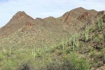
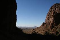
Pine Creek Canyon is not only stunning geologically but has dense vegetation, a seasonally flowing creek and remains of an old homestead from the 1920s. The official trail, which includes a loop, is a moderate 2½ miles, yet for more adventure and some rock scrambling, there are plenty of opportunities to explore the upper reaches of the canyon.
The trailhead is on the 13-mile scenic drive at 4,053 feet in elevation. The hike starts off in a plant community that includes blackbrush, Mojave yucca and cholla cactus, which are soon joined by scrub oak, willow and juniper.
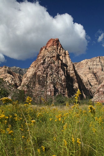
As you head west toward the canyon, you will notice the red-capped monolith named Mescalito. As you travel up the canyon, look for evidence of wildlife. White-tailed antelope ground squirrels, cottontails, jackrabbits and occasionally wild burros are seen here. Keep an eye out on the lower cliff areas, and you might also see desert bighorn sheep.
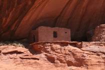
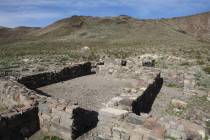
About three-quarters of a mile after starting from the trailhead, look on the left side of the trail, and you will see a well-worn spur path that will take you to the foundation of an old homestead. Horace and Glenda Wilson settled here in 1920, built a two-story house complete with a fireplace and planted an apple orchard. They sold the property in 1928 but stayed on as caretakers for eight more years before moving to Las Vegas. The house then fell into disrepair and was vandalized. The Nevada Division of State Parks took over the property in the mid-1970s.
Returning to the main trail, you will soon find the beginning of the 0.9-mile loop segment of the trail. Go left and travel through the meadow and then over the Pine Creek drainage itself. The trail then makes a gradual ascent and heads deeper into the canyon. In this area you will find dense concentrations of canyon grapes. In some places along the trail you will find steep drop-offs, and it becomes quite rocky; you might need to do some route-finding to continue on the correct path .
The trail soon loses some elevation, and you will cross over the main drainage once again. Then the trail starts looping back toward the trailhead. If you can handle some rock scrambling, you can head farther up the canyon on either side of Mescalito. Both forks are worth exploring, but the south fork is easier to hike.
Deborah Wall is the author of “Great Hikes, A Cerca Country Guide” and “Base Camp Las Vegas: Hiking the Southwestern States,” published by Stephens Press. She can be reached at deborabus@aol.com.
DirectionsTake Charleston Boulevard west, past the Las Vegas Beltway and out of Summerlin. Drive roughly six miles to the scenic loop turn-off on the right. The trailhead is at 4,053 feet in elevation.


