A guide to hiking Nevada’s newest national monument
A visit to Southern Nevada’s Avi Kwa Ame National Monument starts with a drive past wonders that could easily go undetected in a harsh, inhospitable landscape. An unremarkable desert expanse of creosote and bursage stretches on either side of southbound U.S. Highway 95 past Boulder City’s solar fields.
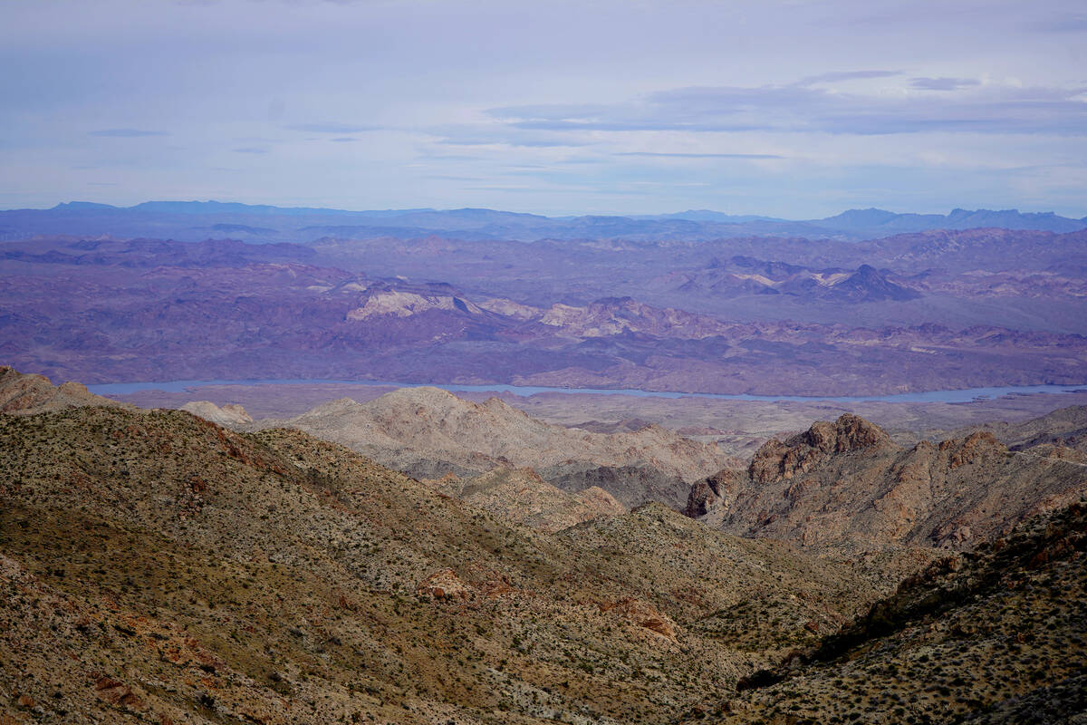
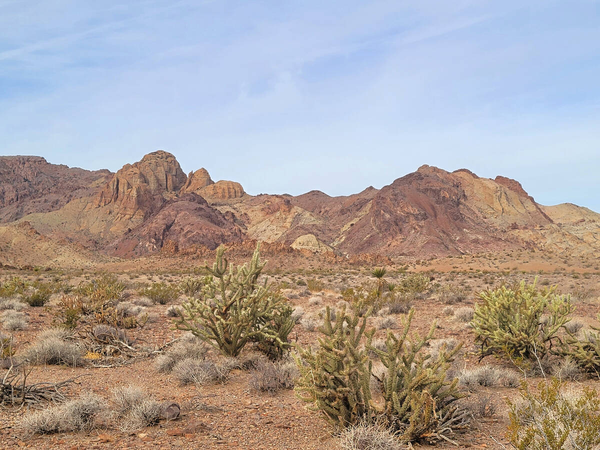
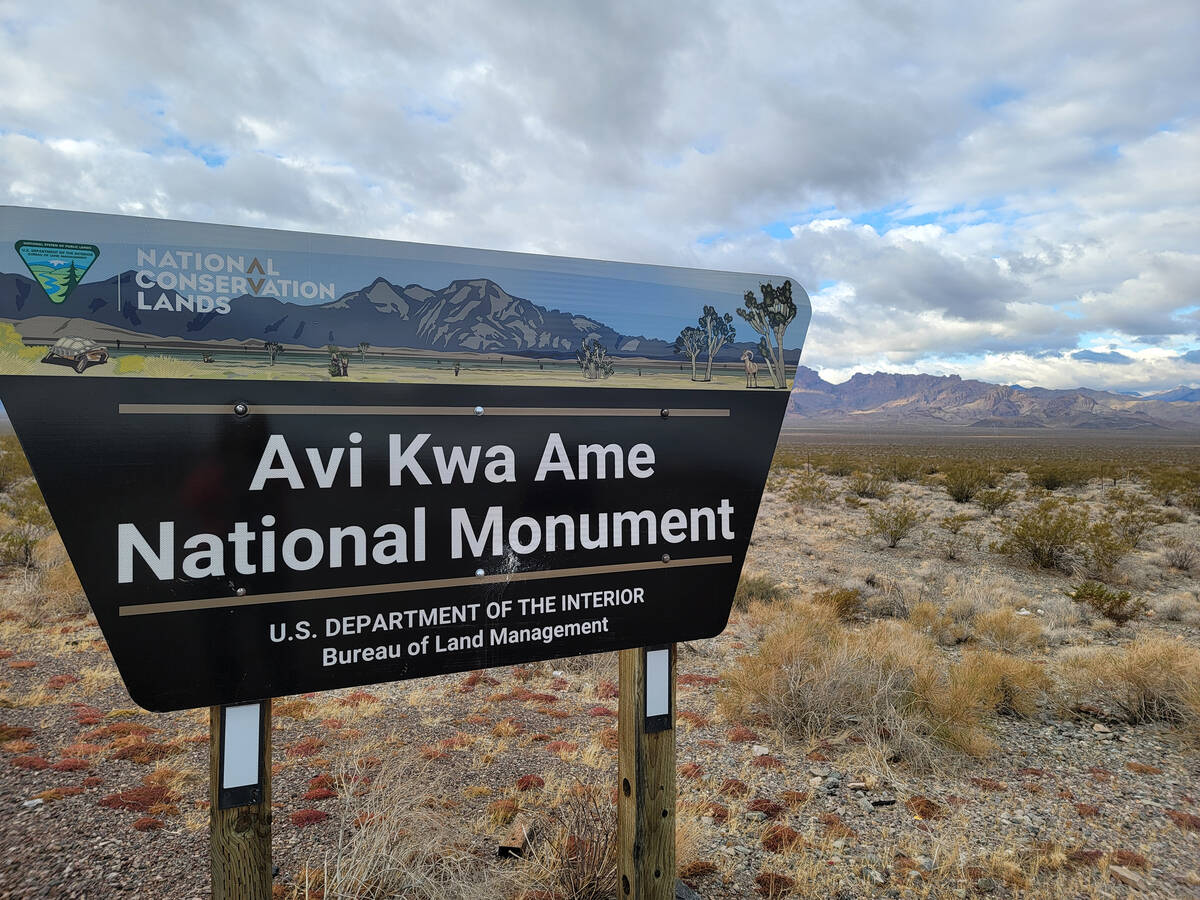
Curious motorists will start picking up on the intricate patterns and changing colors of nearby mountains that parallel the road toward Searchlight. There are clues about ancient geologic stories to be told and about wildlife-sustaining secrets that shade-providing canyons hold. Unmarked turnoffs for rocky backcountry roads to the Highland Mountains start showing up, and before long a sign alerts drivers to their presence in a national monument that was designated just a year ago.
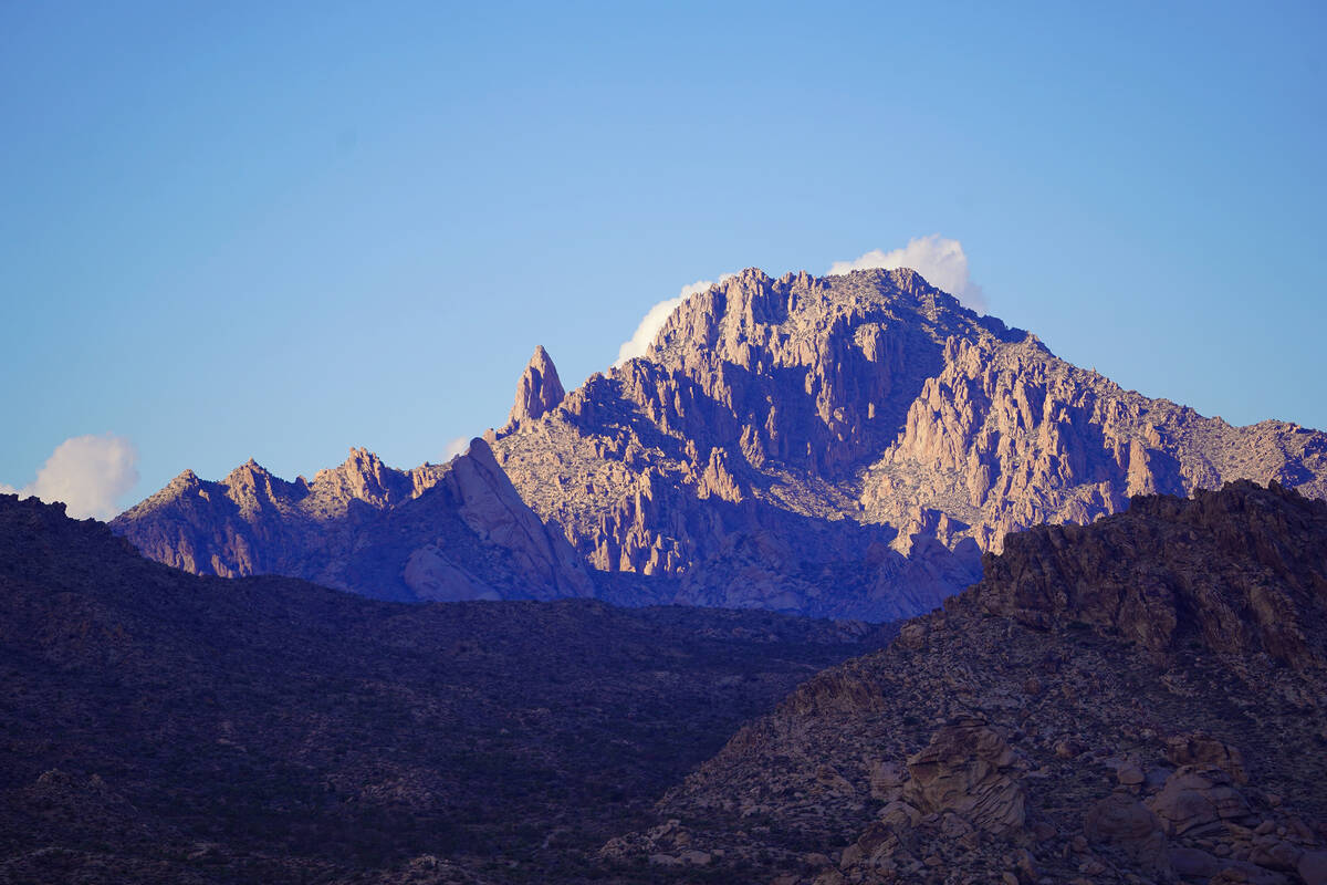
Spirit Mountain, which in the Mojave language is known as Avi Kwa Ame (pronounced Ah-VEE kwa-meh), is the sacred peak at the center of the monument’s protection and at the core of creation stories for a dozen Native American tribes in the Southwest. More than 700 square miles surrounding Avi Kwa Ame at the southernmost tip of Nevada are now off limits to development. With protecting cultural and religious sites revered by tribes, the monument helps to preserve a wildlife corridor that stretches from Mojave National Preserve to the Colorado Plateau. Still, recreation remains a key use of land in the monument under the federal designation, which allows for such endeavors as camping and backcountry driving.
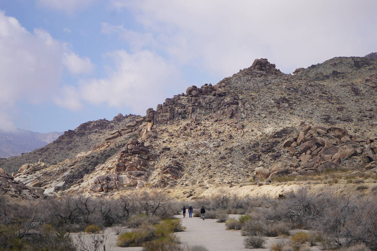
For anyone exploring Avi Kwa Ame for the first time and hoping to get some exercise, the easiest places for hiking inside the monument include Wee Thump Joshua Tree Wilderness, Grapevine Canyon and along dirt roads near both. The graded and wide Walking Box Ranch Road leads from a parking lot at the closed-to-the-public historic complex to Castle Mountains National Monument, just over the California state line. Any combination of walks in these locations will add up to a decent amount of exercise and improve the odds of spotting wildlife, standing among Nevada’s tallest Joshua trees, glimpsing 5,642-foot-high Spirit Mountain and experiencing some Mojave Desert springtime magic with bright and bold cactus and wildflower blooms.
While a network of developed hiking trails is absent and much of the national monument is accessible only with high-clearance, four-wheel drive vehicles and a comfort level for driving on 500 miles of backcountry roads, the spots mentioned above require nothing more than a standard vehicle, plenty of water, food and a sense of adventure. What follows is a three-stop, all-day beginner’s guide for exploring Nevada’s year-old national monument, which envelops scenic stops that for years have stood mostly on their own but now enjoy something akin to the support of an enormous family.
Wee Thump Joshua Tree Wilderness
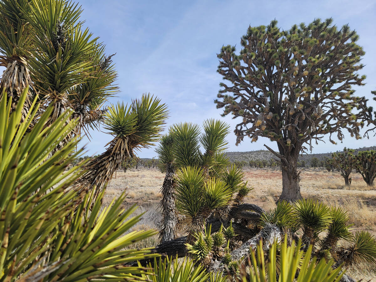
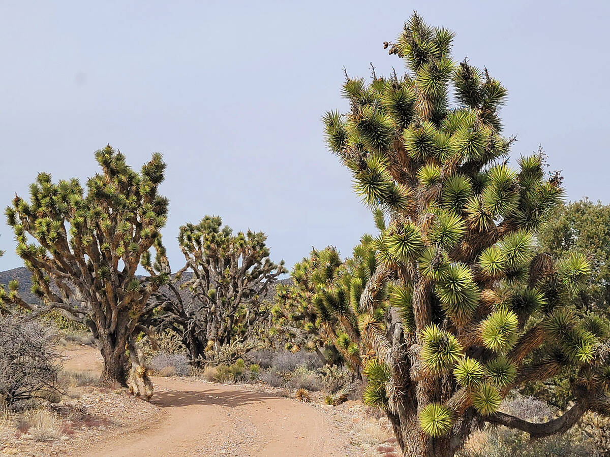
Driving to Wee Thump (meaning “ancient ones” in the Paiute language) from Las Vegas will typically take a little more than an hour. Corresponding to gains in elevation along U.S. 95, Joshua trees begin to appear among the Mojave Desert’s creosote on the approach to Searchlight. Once in town, look for state Route 164 and turn right, heading west about eight miles. The turnoff for Wee Thump Joshua Tree Wilderness is a short distance past Walking Box Ranch and on the right. Wee Thump East Road is a dirt road heading north off the highway and leading into a labyrinth of old and tall Joshua trees (including Nevada’s largest). During a recent visit, conditions were manageable enough for sedans to make it to a parking lot and trailhead, but a vehicle with higher clearance is suggested.
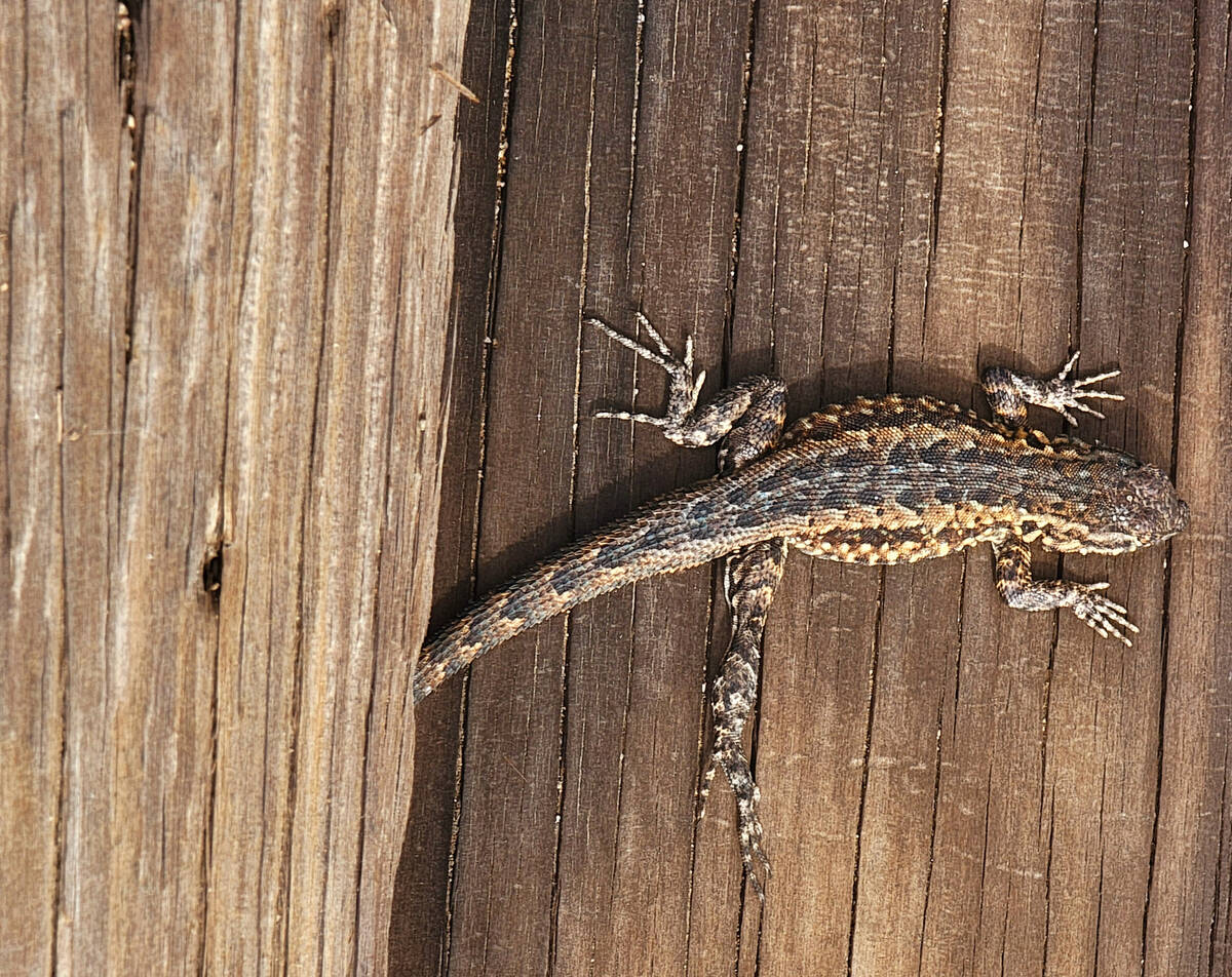
Overseen by the Bureau of Land Management, the three-mile Joshua Tree Trail follows an old wagon road previously used by mining operations in the surrounding area. In addition to the sight of hundreds of gnarly and animated Joshua trees, visitors should be on the lookout for wildlife in Wee Thump, whether that’s resident birds, reptiles emerging on warm spring days from brumation or mammals searching for meals.
Exit Wee Thump Wilderness to get back on state Route 164, heading east.
Walking Box Ranch and Road
Just off state Route 164 a short distance east from Wee Thump Joshua Tree Wilderness, Walking Box Ranch is home to 1930s Hollywood history, as it was once a venue for parties thrown by movie star couple Clara Bow and Rex Bell. While the property isn’t open to visitors, there’s a public parking lot at the ranch, and that will give visitors a glimpse of the house and outbuildings. You can add a few more steps to your exercise count with a walk around the area and possibly a stroll along Walking Box Ranch Road, a graded and wide passage.
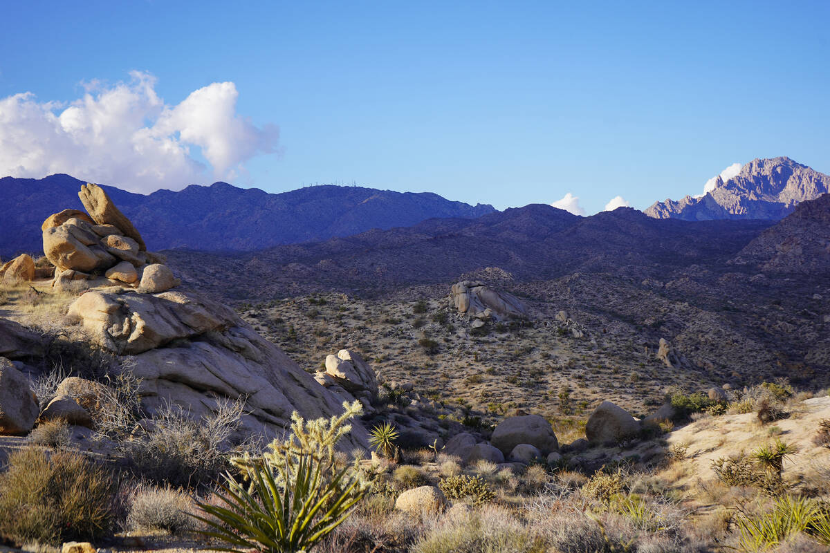
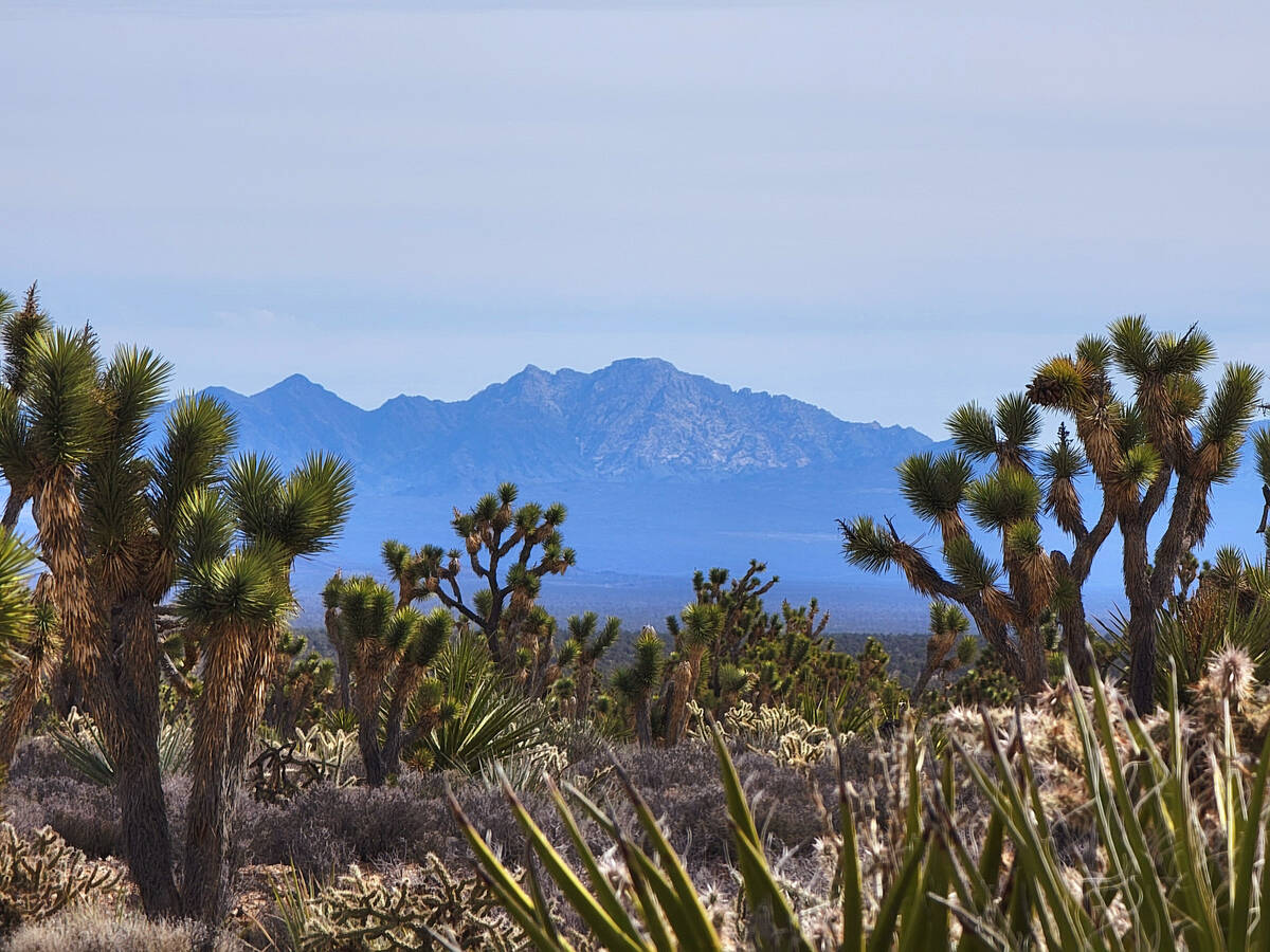
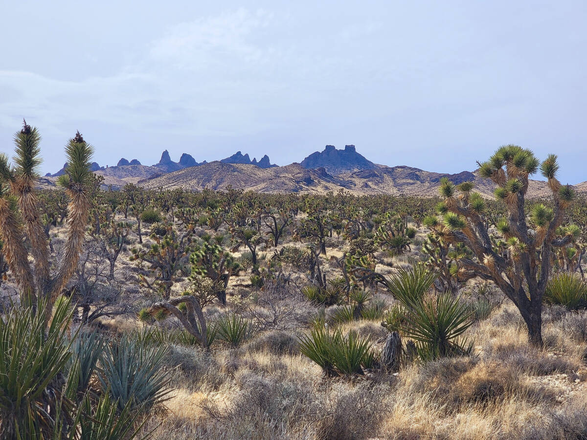
Stunning views await anyone driving south 13 miles to the California state line on Walking Box Ranch Road. From the car window or during brief stops, visitors can see Spirit Mountain standing in the distant east with Joshua trees, yuccas and buckhorn chollas in the foreground. Motorists soon will reach California’s Castle Mountain National Monument and enjoy views of the whimsical turrets of Castle Peaks towering above Avi Kwa Ame National Monument in Nevada and Mojave National Preserve in California.
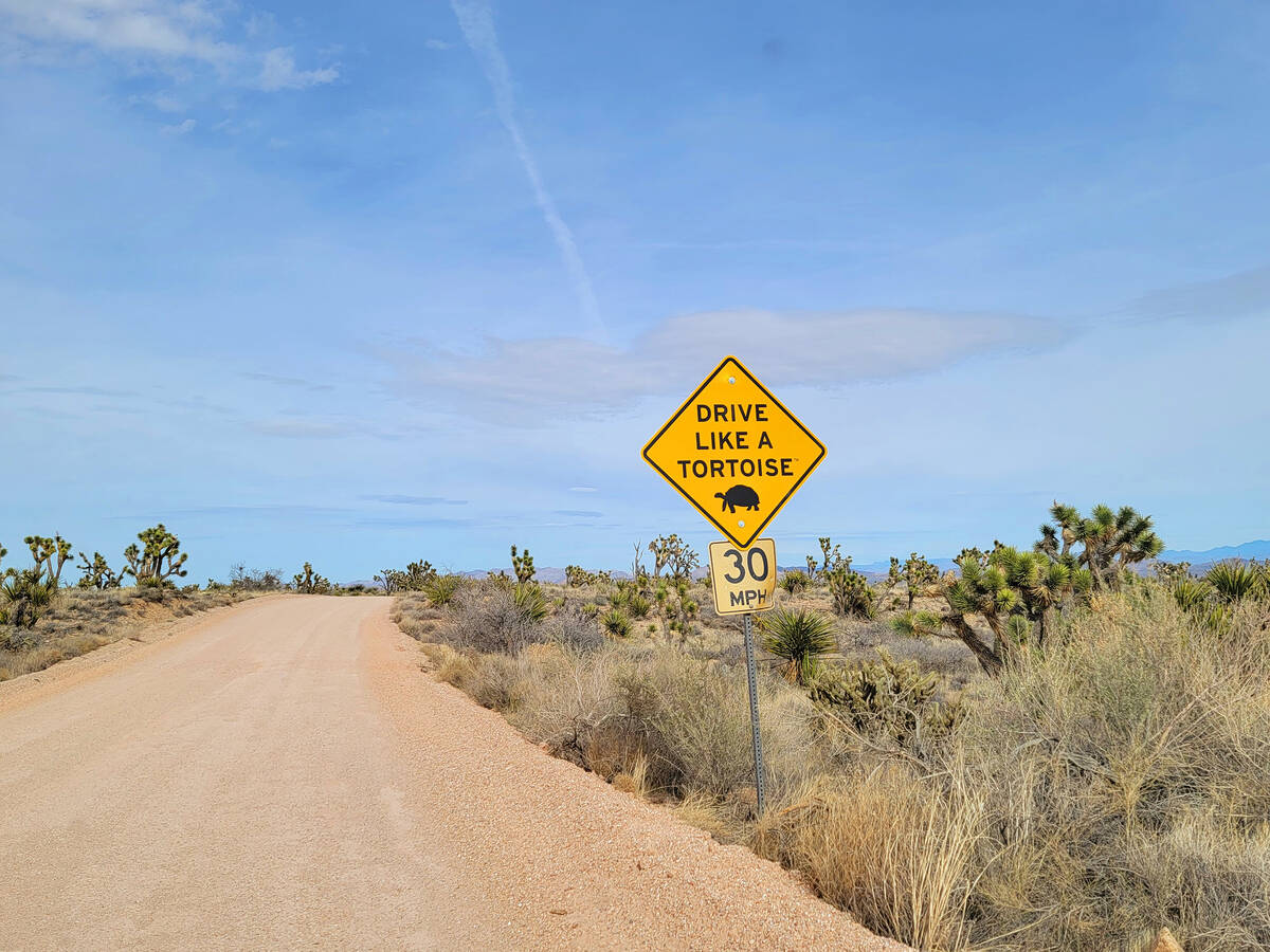
After soaking in the quiet and rugged beauty of the landscape, return north on Walking Box Ranch Road while heeding the “drive like a tortoise” road signs. After reaching state Route 164, turn right and head east about 7 miles in the direction of Searchlight.
Grapevine Canyon
After reaching the town of Searchlight from Walking Box Ranch, turn right and head south on U.S. Highway 95 about 20 miles until reaching the turnoff to Laughlin on state Route 163. Turn left, heading east toward Laughlin. This mountain drive is spectacular, and Spirit Mountain comes into view several times along the route. After about 13 miles traveling east on state Route 163, start looking for a turnoff on the north side of the highway. Take that left turn for Grapevine Canyon, which is about 2 miles down a well-maintained dirt road.
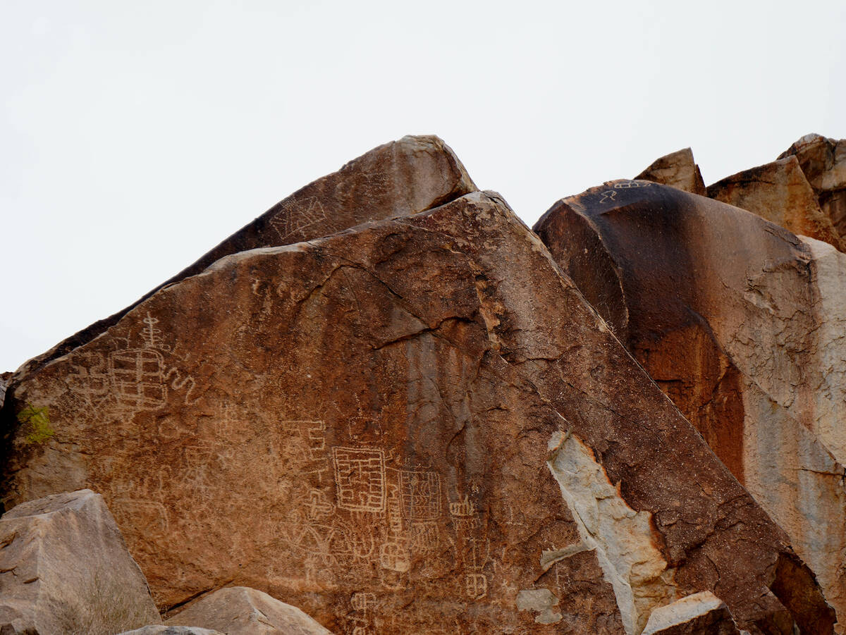
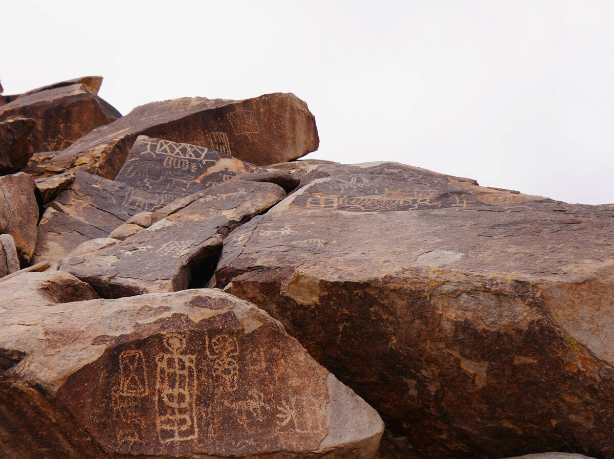
At the west end of the Grapevine Canyon parking lot, paths lead to a desert wash and, several hundred feet later, to the mouth of a canyon with hundreds of petroglyphs and plenty of vegetation, including wild grapevines. Look up, down and all around the rocks in this sacred space, but don’t touch or get close to the petroglyphs.
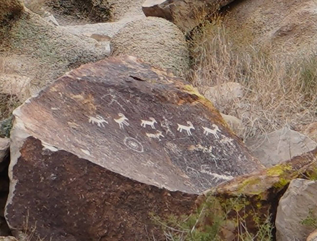
Some petroglyphs, like etchings of bighorn sheep, make their meanings clear, while many other panels filled with whimsical and otherworldly images have kept researchers and visitors guessing about their secrets for decades. The faintest petroglyphs at Grapevine Canyon are possibly 800 years old, and images from only 200 years ago may be etched on the same rock.
Backcountry roads
Another way to access Grapevine Canyon with more close-up scenery than state Route 163 is via Christmas Tree Pass Road. From Searchlight, drive south on U.S. 95 for about 13 miles and begin looking for a road intersection sign and a left-turn lane soon after Cal-Nev-Ari. The 16-mile Christmas Tree Pass backcountry road is gravel and dirt, and a high-clearance vehicle with four-wheel drive is recommended.
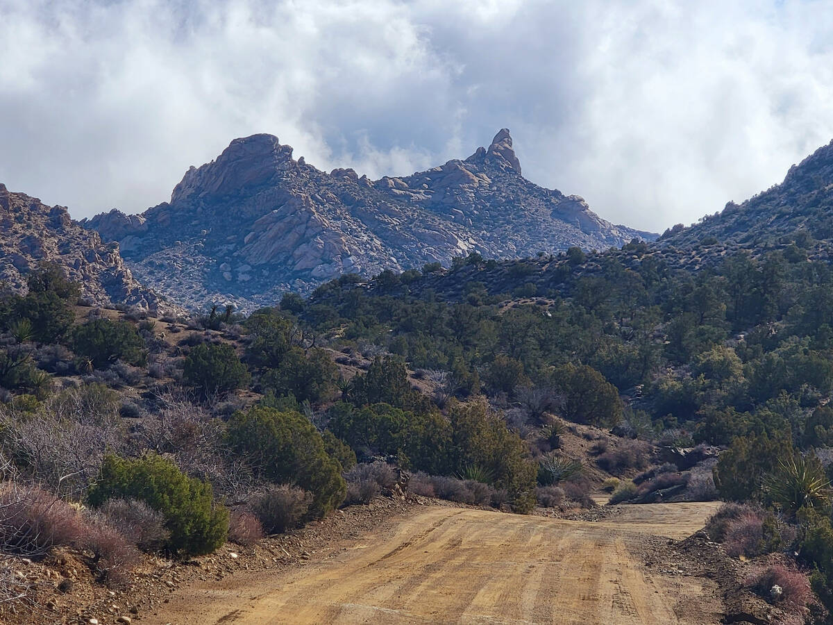
The payoffs for the roughness of this road are the thrill of the ride and the grandeur of granite peaks, spires and animated shapes of the Newberry Mountains, including close-up looks at Spirit Mountain. Cactus wrens and ladderback woodpeckers call out from their perches in the canyon’s pinyon and juniper forest. Grapevine Canyon’s parking lot will be on the right just 2 miles before the road ends at state Route 163.
If the rocks and ruts of backcountry roads are tolerable, other standout stops for Avi Kwa Ame explorers are Hiko Springs, Pine Spring and Knob Hill. With 500 miles of backcountry roads, there is much to be discovered in Nevada’s year-old national monument.
Avi Kwa Ame celebration
Friends of Avi Kwa Ame has planned a celebration in Searchlight from 8:30 a.m. to 4 p.m. April 13 to mark the monument's first anniversary. The group has scheduled guided hikes, informational presentations, science talks, a cactus giveaway and opportunities to share stories about local history. Many of the day's events and activities have limited spaces available. More information is posted at friendsofavikwaame.org.


