Spring Mountain creeks lure hikers, wildlife watchers
In Nevada’s arid southern tip, few places exist where one can hear the murmur of a running stream.
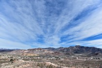
Two such places are located at the northern end of the Spring Mountains near the mountain community of Cold Creek, named for one of the streams. Neighboring Willow Creek lies several miles away.
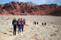
Both creeks are within the Spring Mountains National Recreation Area, part of Humboldt-Toiyabe National Forest. The area draws hikers, wildlife watchers, horseback riders and backroad explorers.
To reach the Cold Creek Area, drive north from Las Vegas on U.S. Highway 95 toward Indian Springs. About 30 miles from the city, the blocky structures of two state prisons and a prison conservation camp appear on the left side of the highway. The paved road to Cold Creek village cuts westward between these grim facilities and climbs for about 15 miles into a forested area near the mountains.
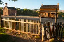
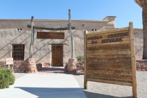
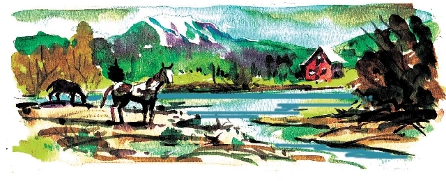
Cold Creek starts at a spring above its namesake community. The little creek meanders through the developed area to a pond below. The site of historic Cold Creek Ranch is fenced off near the pond on the right of the highway approaching the village. Taking advantage of the running stream, trees and grassy areas, pioneers started a ranch in the foothills. The ranch lay along a route over the mountains through Wheeler Pass. The old road connected ranches, scattered outposts and mining camps on both sides of the mountains.
Cold Creek Ranch later became federal property under several jurisdictions, including the U.S. Fish and Wildlife Service, the Bureau of Land Management and, most recently, the U.S. Forest Service. Ruins of a residence for rangers stand in the fenced ranch area. Under earlier jurisdictions, the site had picnic tables and outhouses and the pond was stocked with trout. Elk and antelope were introduced to the area. The elk moved up into the mountains and the antelope were hunted out. Today, the stream and pond draw deer, small herds of wild horse and anglers.
At the point where a graded side road joins the highway near the pond, the Forest Service has cleared and fenced three large areas where visitors can safely pull off the pavement. Recreational vehicles can be parked there, although there are no developed facilities and no shade. The three clearings are primarily used as a staging area for off-highway vehicles following trails and old roads.
A road sign incorrectly indicates that Willow Creek is three miles away and Wheeler Pass seven miles away. Actually, the distance to Willow Creek is about nine miles and the trail to Wheeler Pass is farther still, if it can still be used at all. It was long accessible only by four-wheel drive and later impassable after the area suffered devastating flash floods.
To avoid mistaking property access roads for the road to Willow Creek, note your mileage as you turn off the highway. Drive past the pond on the side road. At six-tenths of a mile, you will see an official yellow fire restriction sign. Continue another one-tenth of a mile to a fork. Turn left there despite unfriendly private signs posted on both sides of the unmarked turnoff. Three signs on one side and one on the other are unofficial. This is a public road that has been in use for decades.
Willow Creek starts at a spring on the upper end of a little valley. For many years, it featured a small but popular camping and fishing area. The pretty creek cut through meadows and undergrowth, ran under a bridge and filled a pond behind a dam. Trees shaded a handful of campsites with tables, fire circles and access to nearby pit toilets.
The management philosophy for Willow Creek has changed because of the area’s propensity for wildfires and floods. The mountains are scarred where fires swept through the forest. Few shade trees remain and charred vegetation stands near the road along the creek. Floods destroyed the original bridge and ripped apart the dam. The campsites have been removed. The stream and adjacent areas are fenced to keep out vehicles and encourage regrowth of streamside vegetation. Visitors today can still tailgate picnic and follow the stream on foot, but most are just passing through on their off-pavement adventures.
Margo Bartlett Pesek’s Trip of the Week column appears on Sundays.


