Calf Creek preserves grandeur of canyon country

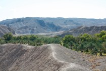
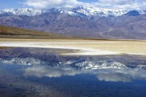
Much of the colorful canyon country north of the Grand Canyon’s North Rim in northern Arizona and southern Utah remains a region so remote that most Americans will never get to see it except in photographs or documentaries. Beautiful Calf Creek Recreation Area is an exception. This lovely spot is easily accessible, just off Highway 12, one of the most scenic drives in the nation.
Highway 12 heads east 124 miles from U.S. Highway 89 near Panguitch past Bryce Canyon National Park to Utah Route 24 near Capitol Reef National Park. Just past Escalante, the road begins a climb to a narrow reef of stone between the canyons carved by Calf Creek on the left and Boulder Creek on the right, both tributaries of the Escalante River. Watch for the Calf Creek turnoff before the road reaches the narrow ridge called the Hogback.
Calf Creek Recreation Area is a Bureau of Land Management development between the rural towns of Escalante and Boulder at the northern edge of the 1.9 million-acre Grand Staircase-Escalante National Monument. The national monument remains a remote area largely inaccessible except by way of a few primitive roads, difficult trails and dangerous rivers and streams that feed into the Colorado River. Much of it lies unchanged since John Wesley Powell’s historic trip down the Creek River and Colorado River by boat in 1869.
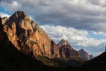
Calf Creek exhibits many features common to the unexplored side canyons that Powell noted in his journal. He extolled the magnificence of “carved walls” and “royal arches” characteristic of the often vividly colored and intricately eroded rock of the deep canyons. Calf Creek Recreation Area sits in the bottom of one of those water-carved canyons. Its red sandstone walls feature the characteristic arched overhangs that over time became deep enough for ancient cliff dwellers to construct their multiroomed pueblos, protected by the eroded stone.
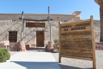
Watch carefully along Highway 12 for tiny stone storerooms constructed by native cultures in the area hundreds of years ago. Spot a couple of them tucked in rock layers between Escalante and Boulder. In Boulder, visit the Anasazi State Park Museum, where an ancient native village has been partially excavated and some rooms reconstructed.
The short access road to Calf Creek Recreation Area drops from Highway 12 to the wide, flat bottom of the canyon situated at about 5,300 feet elevation. Here, the BLM maintains a parking area near a small campground, picnic area, playground equipment, two volleyball courts, restrooms and water supply. A small bridge crosses the creek near a delightful place to wade and splash and play in the sand of the stream banks. Expect to pay a modest fee for use of the campground and a small day-use fee at the facility, which is open year-round.
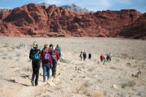
A trail takes hikers up the creek nearly three miles to lovely Lower Calf Creek Falls, one of two waterfalls in the canyon. Hikers slog through deep sand to reach the 126-foot Lower Calf Creek Falls. Although shade and moisture tempers the summer heat, hikers should carry ample drinking water in this arid region.
Along the trek up the canyon, note the sheer, mineral-streaked cliffs marked by runoff water. Hikers pass beaver dams that slow floodwaters and create riparian habitat for birds, insects, amphibians, larger mammals and even fish. Watch for ancient rock art on the cliff walls, including large figures painted in red, thought to depict ancient deities. Old fence posts mark a small box canyon where ranchers used to keep calves separated from their mothers, the source of the name of the creek.
Most visitors never get to see Upper Calf Creek Falls because of the difficulty in getting there. A mile-long, challenging trail to this beautiful attraction starts from Highway 12 about six miles above the turnoff to the campground. Do not attempt this trail by yourself. It is suitable only for experienced hikers.
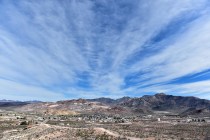
Take time to pull off the road at viewpoints on the Hogback for picture-postcard scenes of the canyons below. You get a feel for this vast fractured landscape as you gaze over distances that spread into Arizona.
Margo Bartlett Pesek’s column appears on Sundays.


