Low pressure slowed; rain, snow still expected
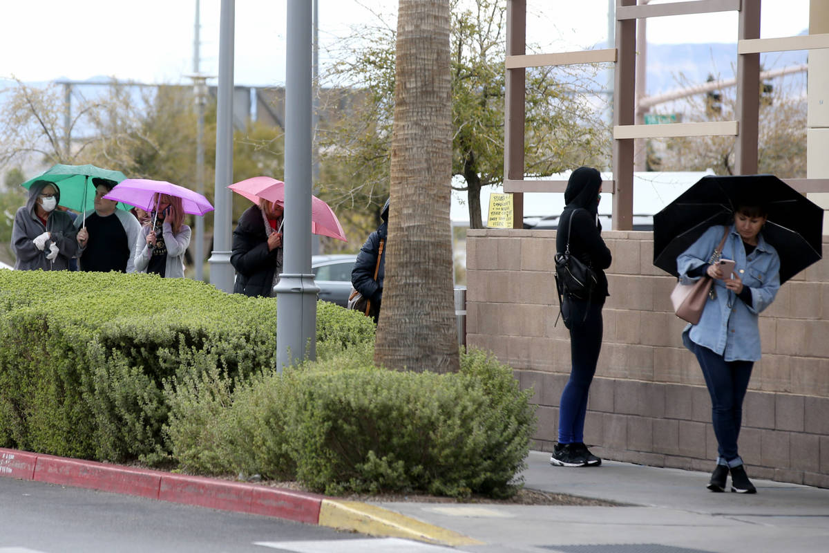
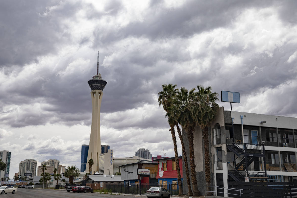
An expected low pressure area that was to bring rain and snow to Southern Nevada much of this week is caught in what weather forecasters call an “Omega block.”
“It’s taking its sweet time getting here,” said National Weather Service meteorologist Barry Pierce, explaining that low pressure systems (forming a pattern similar to the lower parts of the Greek letter Omega) on each side of a high pressure area (the middle of the letter), are slowing down the westerly steering winds as well as the jet stream.
The result is California is getting most of the wet weather with some flood watches issued all the way to the Nevada state line.
As for Las Vegas, there remains a 70 percent chance of rain Wednesday.
“We’re still looking at some bands of showers and perhaps a stray thunderstorm,” Pierce said.
The high is forecast to be 69 with light and variable winds early becoming stronger during the day with possible gusts in the low 20 mph range.
A 50 percent chance of showers is forecast for Thursday with a high near 60.
Friday and Saturday will be sunny and dry with highs projected at 69 and 80, respectively.
Winter storm advisory
A winter storm warning for the Spring Mountains and Sheep Range has been replaced with a winter weather advisory that extends until 5 p.m. Thursday.
Snow accumulations above 7,000 feet are forecast to be 4 to 8 inches, with up to a foot on the highest peaks, the weather service reported.
Winds will gust up to 35 mph and travel is expected to be difficult on state routes 156, 157 and 158. Motorists should expect snow-covered roads and limited visibility.
Mount Charleston received 3 inches of snow at the official reading at the fire station Tuesday morning.
Call 511 for the latest Nevada road conditions.
Contact Marvin Clemons at mclemons@reviewjournal.com or 702-863-4285. Follow @Marv_in_Vegas on Twitter.


