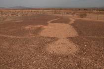
Death Valley National Park great off-road adventure, wildflowers
The hub of Death Valley National Park, Furnace Creek, California, is less than 2½ hours from Las Vegas.
It’s a terrific destination in March, with daytime average temperatures in low-elevation areas around 82 degrees and overnight lows around 55, ideal for camping, hiking, backroad driving and sightseeing.
Backcountry exploration
If you’ve got a vehicle suitable for off-road driving, are self-sufficient and come prepared, exploring the park’s hundreds of miles of backcountry gravel roads is rewarding.
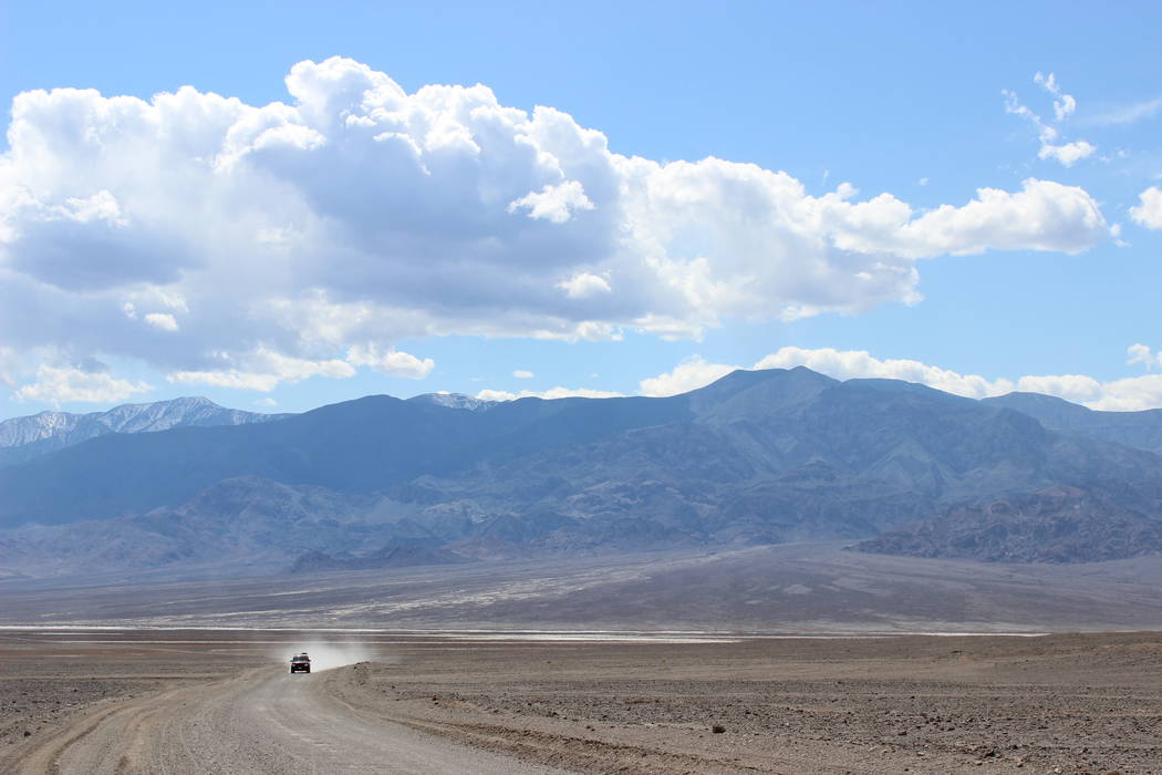
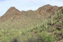
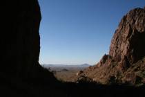
A great choice this time of year — and not too far off the beaten path — is West Side Road. It boasts incredible views, historic sites and potentially good wildflower blooms.
The north access to the 40-mile West Side Road can be found along Badwater Road (California Route 178) about six miles south of the intersection. You will be heading to the west side of Badwater salt flat, the lowest point in North America, 282 feet below sea level. At the same time, you will pass the base of the Panamint Mountains, which boast the park’s highest summit, Telescope Peak, 11,049 feet above sea level. This may be the largest disparity in elevation you ever see.
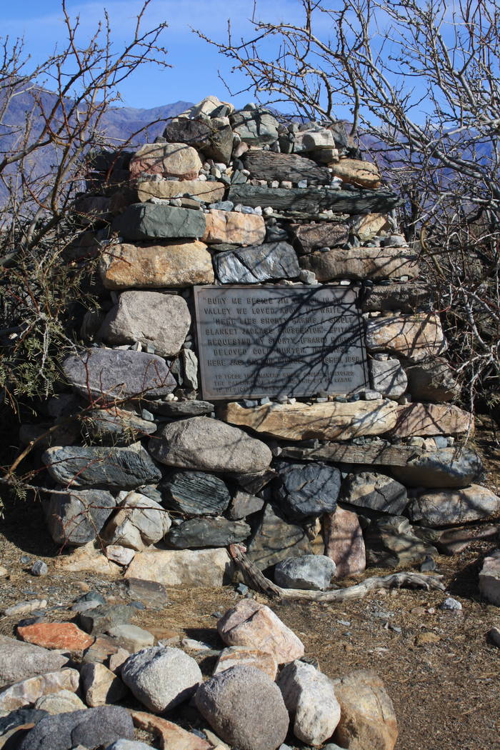
About nine miles into the trip, look on your left for the prominent headstone of Shorty Harris and James Dayton. Dayton, a Pacific Borax Company caretaker in Furnace Creek, died in 1898. Harris, a legendary prospector and character in the region, survived until 1934 and requested to be buried beside his good friend Dayton. One part of the plaque reads: “Here lies Shorty Harris, a single blanket jackass prospector, 1856-1934.”
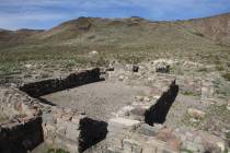
As you drive south about three more miles, you’ll find the left-hand turn for Eagle Borax Works, listed on the National Register of Historic Places. Not much remains here, just a boiler fire box and a mound marking where a house once stood, but it was the first borax refinery in the valley, operating from 1882 to 1884. It’s a nice little pullout to take a break from driving, admire the scenery and have lunch.
Returning to West Side Road and traveling south, you will see a marker on your left for the California Historical Landmark of Bennett-Arcane Long Camp. Near here in 1849, a group of pioneers heading west got stranded and nearly starved.
William Manley and John Rogers, two men in the group, headed to Mission San Fernando, California, more than 300 miles away, and returned with life-saving supplies. One man had died and some people had left the camp, but two families remained and were saved. Many attribute the naming of this place to one member of the party who, as they were leaving, said “Goodbye Death Valley.”
Watch for wildflowers
Hanaupah, Johnson and Warm Springs canyons all head into the base of the Panamints, off to the right of West Side Road. They offer even more remote travel, but the roads are usually rougher. These are good places to visit, though, even if only on foot, as they have more vegetation than the valley floor and hence more opportunities to see wildflowers.
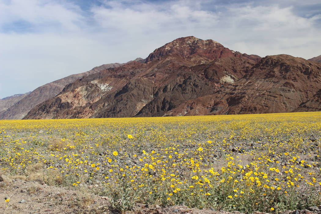
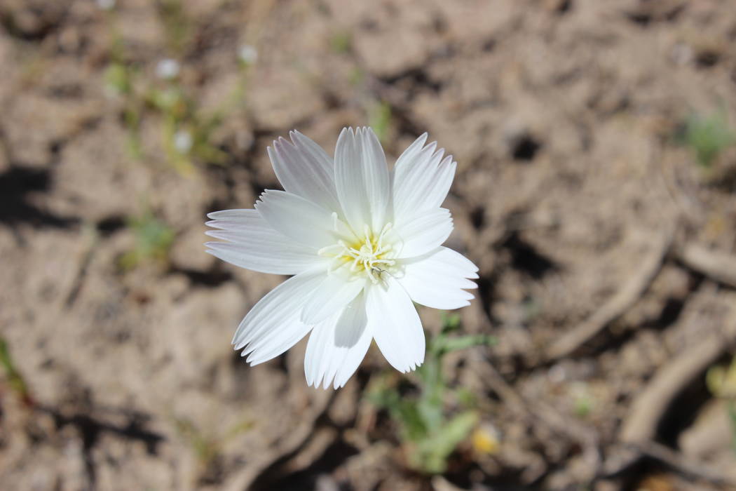
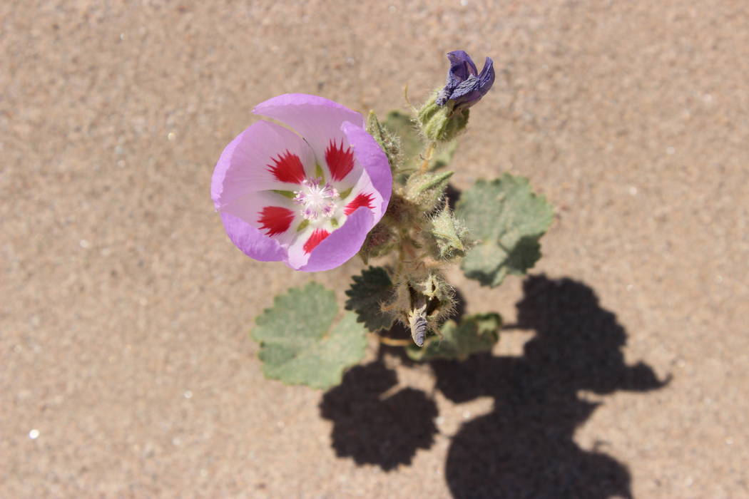
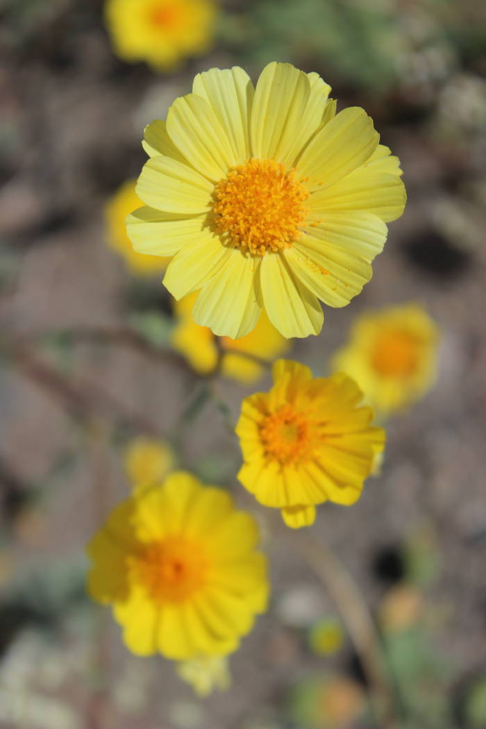
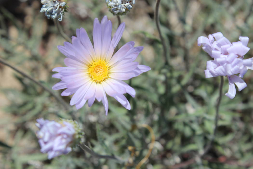
While the wildflower bloom varies each year, if you luck out and are at the ideal elevation during a bloom, you may see flowers such as desert gold, periwinkle-colored desert five-spot, brown-eyed evening primrose and purple caltha-leaf phacelia.
West Side Road continues south and then heads east and back onto Badwater Road. Go left and drive north about 44 miles to return to California Route 190 and the Furnace Creek area.
Check on conditions
At the Furnace Creek Visitor Center, travelers can get the daily report on weather, road and trail conditions. This is especially important for a trip on West Side Road because of possible flooding, which can occur on the southern part of the road where the Amargosa River crosses. The river is usually dry at this point, but it is common after storms for the road to be washed out, have muddy conditions or to be entirely closed. At the visitor center, you can also pay the entry fee, or show your park pass, and receive the park newspaper and map. For this trip, you’ll need to ask for a backcountry road map.
Cellphone service is spotty in the park. The ideal vehicles for this trip are sturdy four-wheel drives, but any should have high clearance and heavy-duty off-road tires, since sidewall punctures are common. Always bring a good spare, ideally two, and plenty of water and food, plus warm clothing and headlamps in case you unexpectedly have to spend the night.
If you go
What: Furnace Creek Visitor Center, Death Valley National Park, Calif.
Hours: 8 a.m. to 5 p.m.
Information: 760-786-3200, nps.gov/deva


