Florida’s fate with Hurricane Dorian may be a matter of miles
For Florida, just a handful of miles may make a huge difference in Hurricane Dorian’s slow dance with the coast.
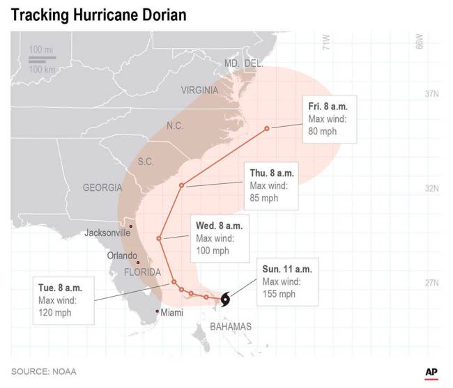
The National Hurricane Center forecasts Dorian to be 40 to 50 miles off the Florida coast on Tuesday and Wednesday, with hurricane-force wind speeds extending about 35 miles to the west. 
But that’s just one point that forecasters have to choose to place the monstrous storm that packed 185 mph winds on Sunday. It could be within 100 miles of that point, which is why the hurricane center uses — and emphasizes — a shaded cone of uncertainty.
And much of the Florida coast is inside that cone.
Center Director Ken Graham is telling residents don’t bet on safety just because his office’s specific forecast track has the storm just a bit offshore.
“The cone is so important,” Graham said.
And making matters more touch-and-go is that with every new forecast, “we keep nudging (Dorian’s track) a little bit to the left,” which is closer to the Florida coast, he said.
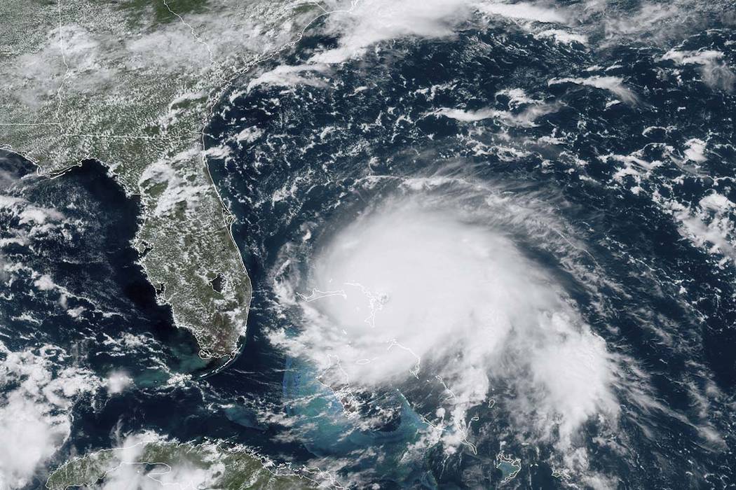
Dorian is a powerful but small hurricane with hurricane-force winds Sunday only extending 29 miles to the west, but they are expecting to grow a bit. That makes forecasting the storm’s path along the coast — either just off the coast, skirting it or moving inland with a direct hit — delicate and difficult. Just a few miles west or east makes the difference between devastation and bad but not horrible damage, meteorologists said.
“Where it doesn’t directly hit, it’s not going to be a huge problem,” Colorado State University hurricane researcher Phil Klotzbach said.
With a big, sloppy hurricane — say 50 percent larger in size — all of Florida would be under a serious threat, but that’s not the case, said University of Miami hurricane researcher Brian McNoldy.
This is what makes this a nightmare for forecasters, McNoldy said.
It’s a combination of the small size, close-in track, like Matthew in 2016, and weak steering currents. That means just a smidge of a movement days ahead of time, while Dorian is in the Bahamas, can reverberate and mean a direct hit or not, said private meteorologist Ryan Maue.
That can happen just because of the timing of when Dorian’s eyewall collapses and is replaced, which happens normally in storms.
Adding to that problem is Dorian’s slow, almost snail-like pace. What initially looked like a Labor Day storm for the U.S. is now approaching Tuesday and Wednesday.
“People are getting impatient with this,” McNoldy said. Because the threat seems to keep sticking around, it could be a problem getting the right message across, he said.
Klotzbach said he thinks the U.S. East Coast will get “scraped,” but Dorian will stay just offshore, something Maue agrees with.
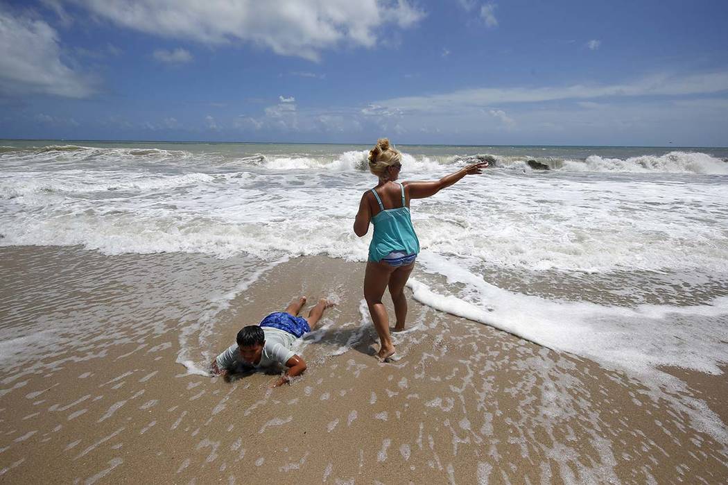
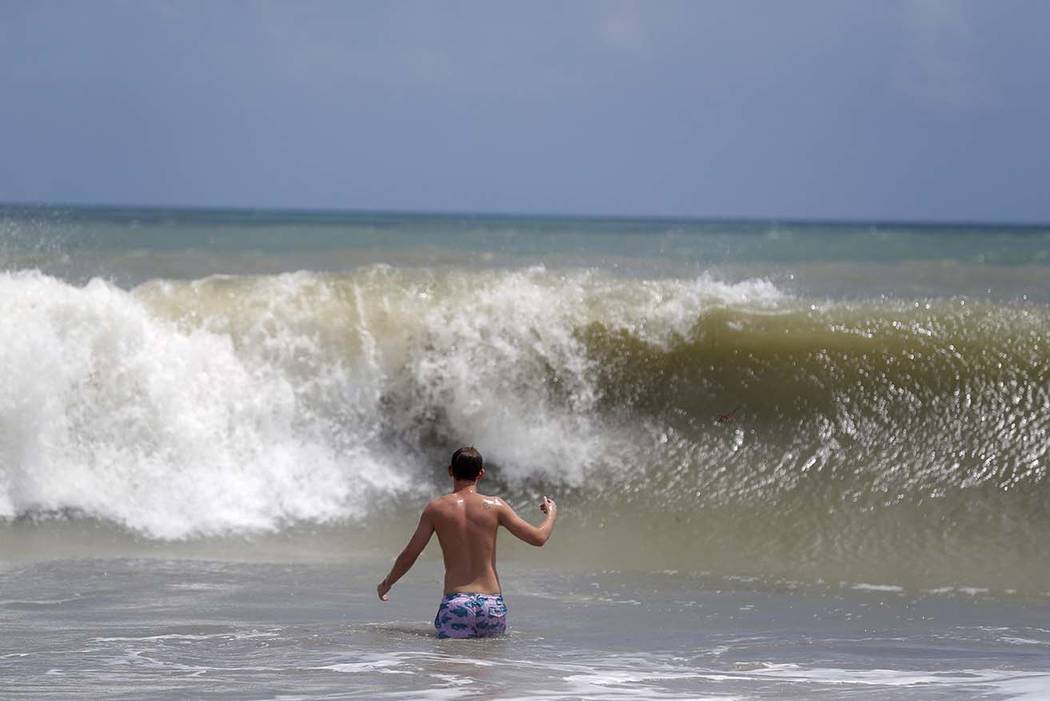
Maue warns, however, that two days of high waves and heavy storm surge — the hurricane center is predicting 4 to 7 feet from West Palm Beach north to Cocoa Beach area — could severely damage Florida’s beaches.


