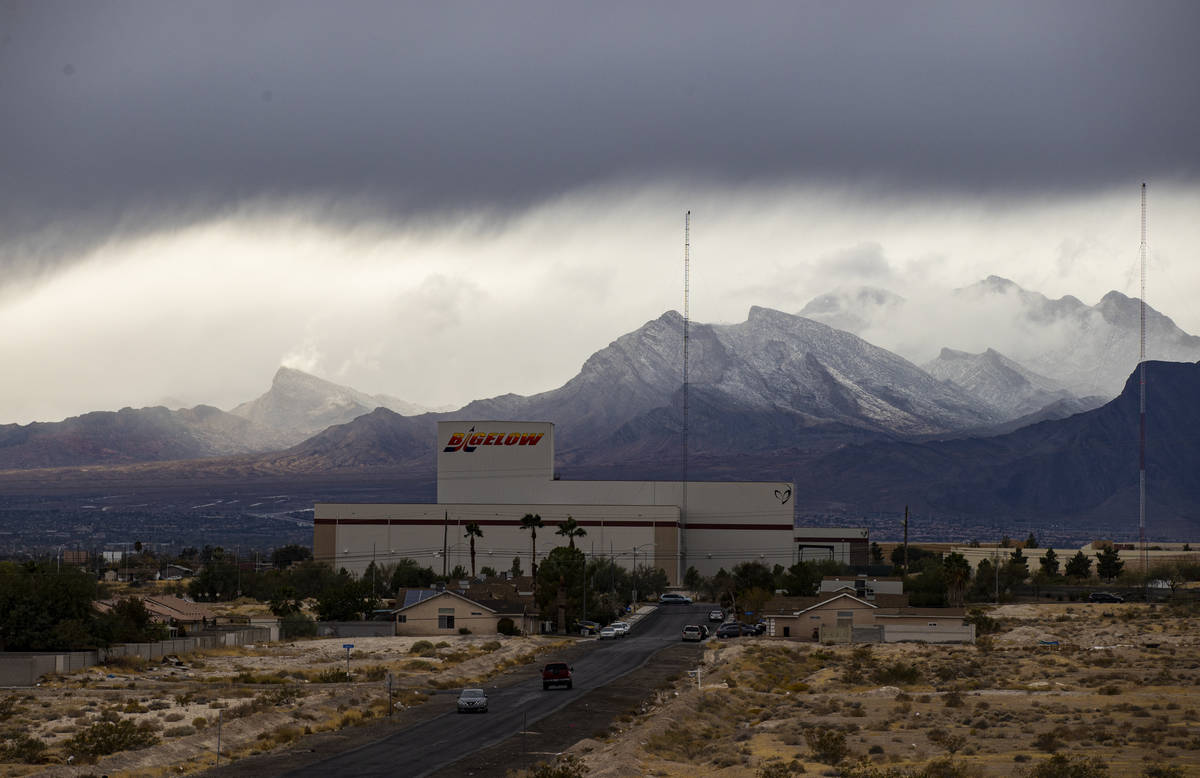
Winter to show up for prolonged stay in Las Vegas area

Enjoy nice weather on Thursday, but then prepare for an extended period of winter, says the National Weather Service.
“The winds will kick up over the weekend and then winter is finally going to show up,” said weather service meteorologist Joe Adair. “Monday through Wednesday will bring cold temperatures as well as flurries and flakes and possibly more and perhaps longer.”
The Thursday forecast calls for a high of about 64 with mostly sunny skies and light winds.
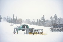
Upcoming wknd system will bring another round of light rain/high elevation snow...then another colder system early next week!
Confidence is increasing that the early week system may bring low elevation ❄️! We're still unsure on the details though, stay tuned. #NVwx #CAwx #AZwx pic.twitter.com/GHoslo2kMT— NWS Las Vegas (@NWSVegas) January 20, 2021
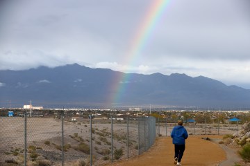
Friday will see a similar high, but winds will gust to to 26 mph. Showers are possible Friday night.
Saturday’s forecast calls for a 20% chance of showers with a high near 55. Sunday will be similar.
The chilly and windy conditions will “prime the pump,” Adair said.
Monday will see mostly cloudy skies with a high around 50. Showers are likely before 4 p.m.
“We could see flakes and flurries in the valley, but we probably won’t see any accumulation,” Adair said. “It will probably be a mix of rain and snow through Wednesday and maybe longer.”
He said the jet stream is favorable to bring storms through the week and perhaps into next weekend.
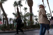
Windy conditions
The cold front will bring windy conditions to the Colorado River Valley and Lake Mead National Recreation Area as well as Red Rock National Recreation Area and the Spring Mountains.
Both areas are under wind advisories from noon to 6 p.m. Friday.
“Gusts over 40 mph are likely,” Adair said.
Contact Marvin Clemons at mclemons@reviewjournal.com. Follow @Marv_in_Vegas on Twitter.