Winds may gust to 30 mph Monday as Election Day storm reaches valley


A potent winter storm will begin to make its presence known starting Monday.
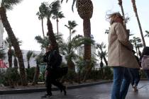
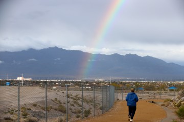
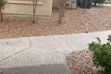
The storm is expected to bring mostly strong winds and rain to the Las Vegas area early this week, says the National Weather Service. Snow in the mountains is also likely.
As some of you may have heard, there is a strong low pressure system that will impact the region early this week. But just how much rain could #LasVegas see from this system?
The graphic shows the % chance of 24-hr precip totals exceeding different values 🌧️#VegasWeather #NVwx pic.twitter.com/kWCkpFz3kw
— NWS Las Vegas (@NWSVegas) November 6, 2022
The high Monday should be near 73 with a mostly sunny sky. Southwest winds of 15 to 20 mph could gust to 30 mph.
Wind advisory
A wind advisory for many parts of the region began at 10 p.m. Sunday and runs to 10 p.m. Monday.
South winds 20 to 30 mph with gusts up to 50 mph are expected. Areas covered include Death Valley, Esmeralda, Lincoln and Nye counties plus western Clark County, the Sheep Range, Spring Mountains and Red Rock Canyon.
🌬️Today: Gusty S/SW winds across the region.
🌧️TUE - WED: Increased precipitation chances as a Pacific system moves inland & into our forecast area.
⛅THU - FRI: Below average temps & mostly clear skies as the system clears out. #VegasWeather #NVwx #CAwx #AZwx pic.twitter.com/vXEuMbx5gA
— NWS Las Vegas (@NWSVegas) November 7, 2022
A 20 percent chance of rain is expected overnight, probably after 10 p.m. The sky will be partly cloudy otherwise. Winds of 9 to 13 mph could gust to 18 mph.
Tuesday rainfall is an 80 percent probability, probably after 4 p.m. The high will be near 66. Winds could reach 31 mph.
Rain and possible thunderstorms are expected for Tuesday night with winds still gusting 30 mph.
🌥️📸 Clouds are increasing ahead of the incoming weather system, making for a very photogenic morning. Here's a beautiful picture of lenticular clouds with some lower stratus taken by the Overton COOP Observer at Overton Power!#nvwx #azwx #cawx #vegasweather pic.twitter.com/1iXc0cACUN
— NWS Las Vegas (@NWSVegas) November 7, 2022
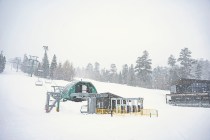
A winter storm advisory has been issued for the Spring Mountains and Sheep Range from 6 a.m. Tuesday to 4 p.m. Wednesday. Up to 10 inches of snow at higher elevations is forecast. Winds may reach 55 mph.
The chance of showers on Wednesday is 50 percent. The sky will be partly sunny with a high near 58.
Conditions will begin to clear Wednesday night into Thursday. Temperatures will stay close to 60 through the weekend.
Contact Marvin Clemons at mclemons@reviewjournal.com. Follow @Marv_in_Vegas on Twitter.