Strong winds pound Las Vegas, snow falling in mountains


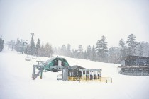
Las Vegas’ week started on a windy note, as temperatures dropped and Mount Charleston saw significant snowfall for the first time this fall.
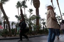
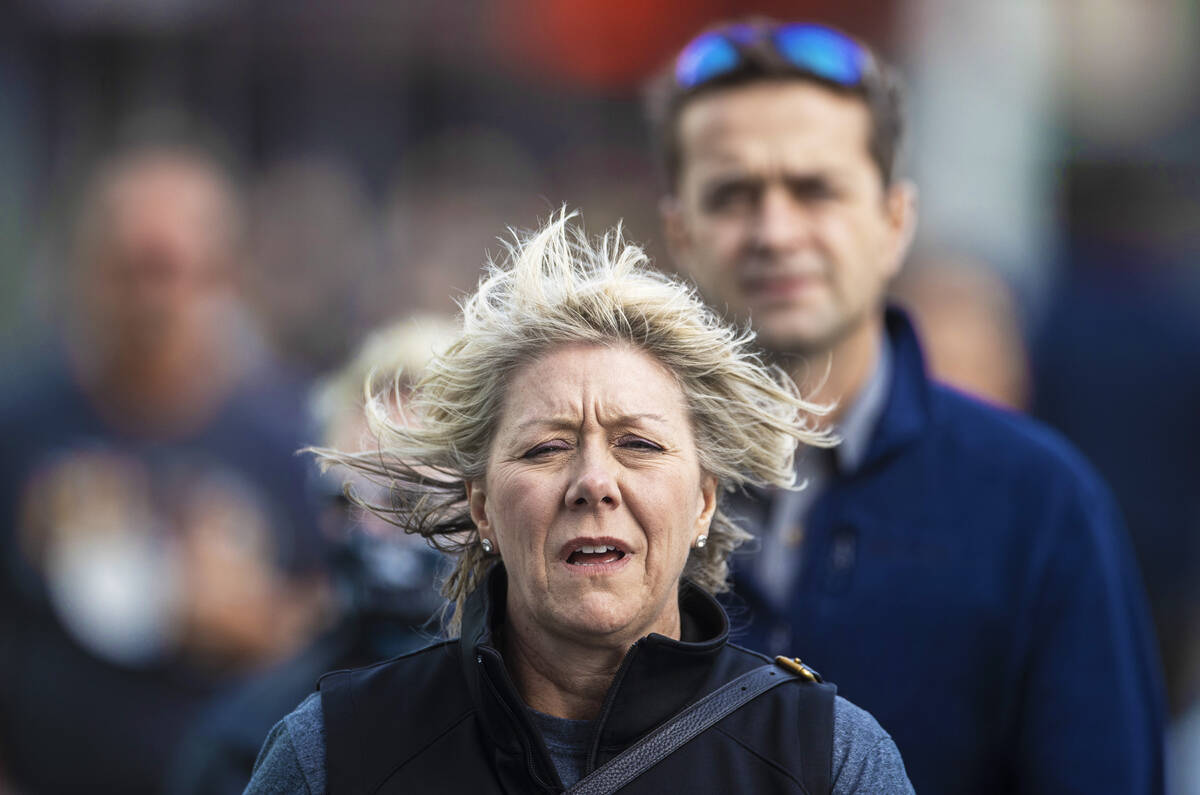
Wind gusts on Monday reached 60 miles per hour, meteorologist Todd Lericos said. Power outages are possible and the weather service warned drivers to watch out for fallen trees and power lines. A high-wind warning was in effect in the Las Vegas Valley and Mount Charleston through 5 a.m. Tuesday, the National Weather Service said.
5:00pm - Wind gusts 45 to 55 mph now rolling into the NW part of the Las Vegas Valley near Skye Canyon interchange. Use caution if driving. Winds will keep moving south over the valley the next hour.#vegasweather
Some data courtesy of @EarthNetworks
— NWS Las Vegas (@NWSVegas) October 12, 2021
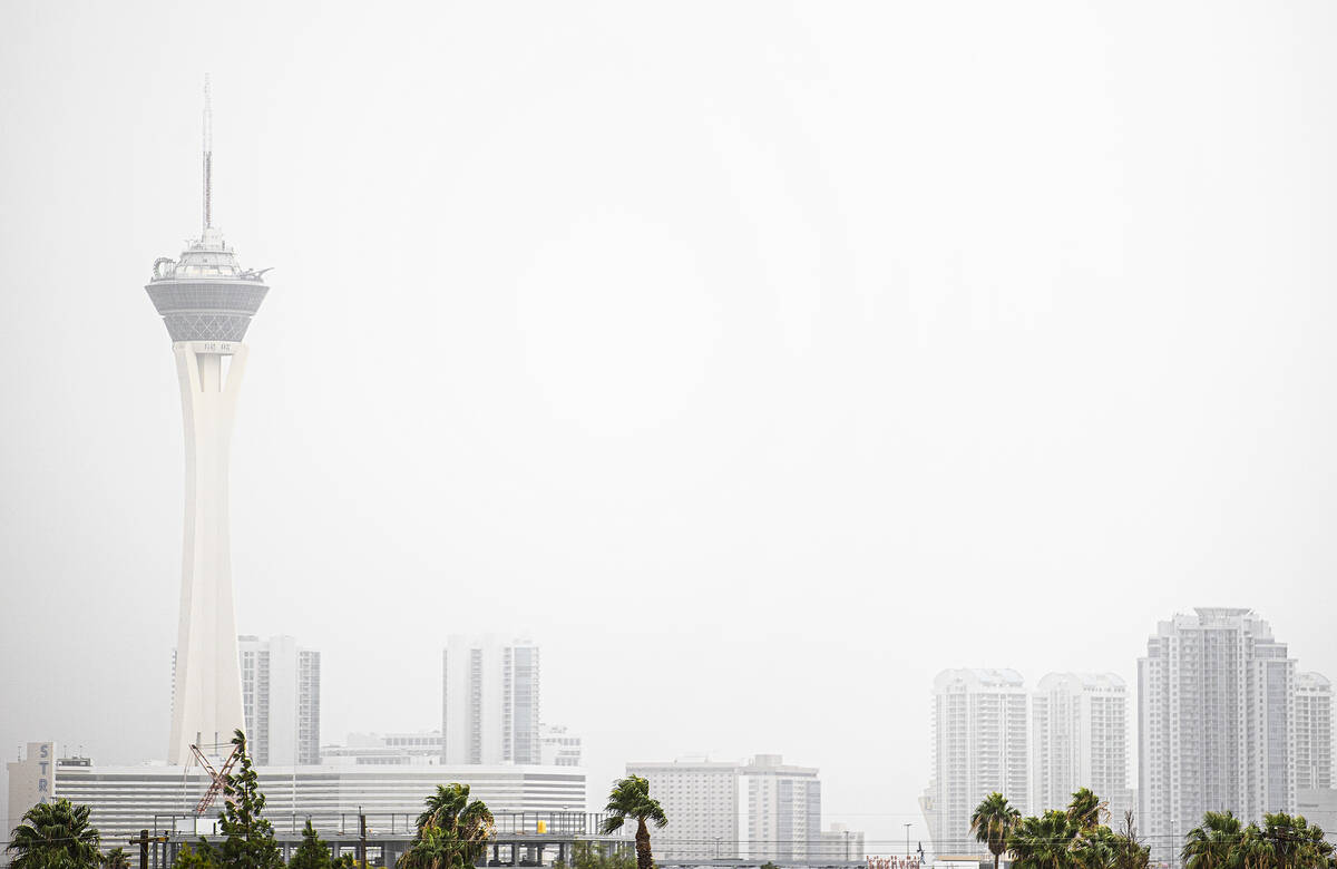
The Clark County Department of Environment and Sustainability issued a dust advisory for Monday because of the high winds. The system is expected to move east on Tuesday, and the dust should start to dissipate as the day goes on, Lericos said.
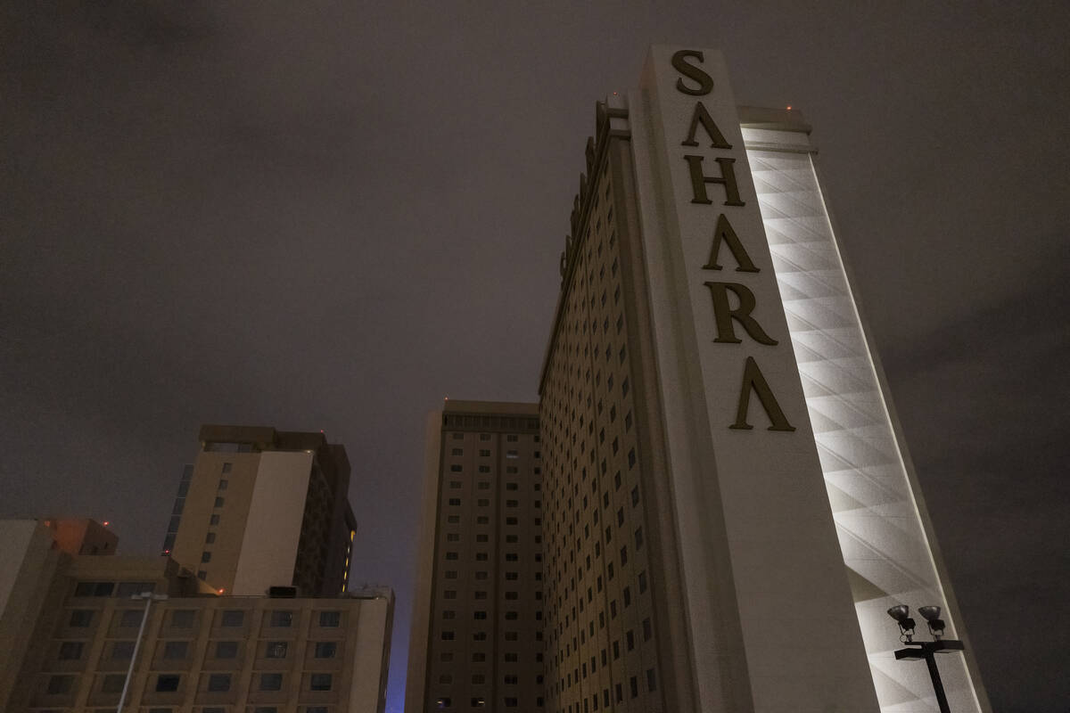
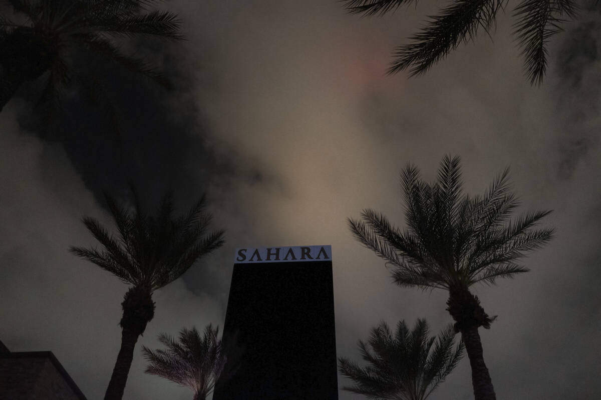
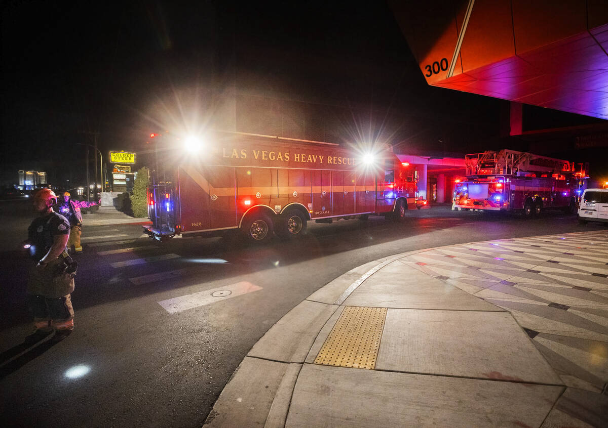
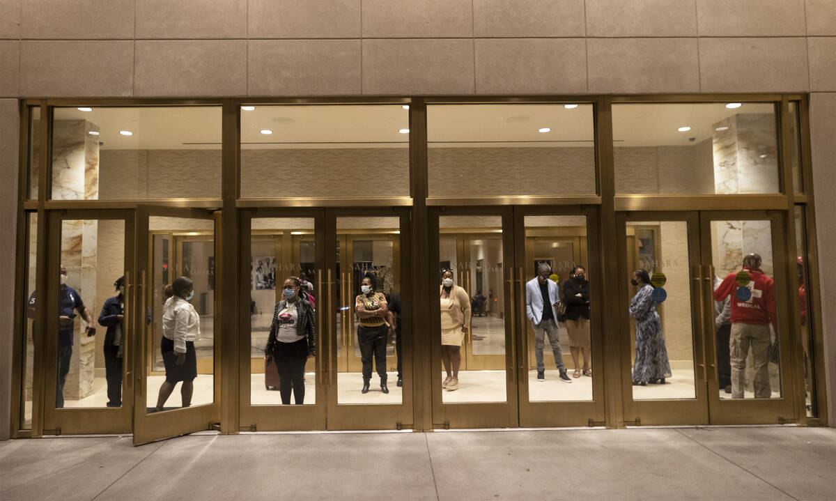
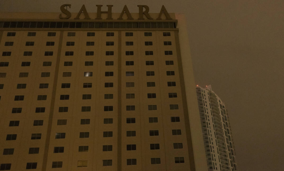
Storms left thousands without power Monday night, according to NV Energy’s website. At the north end of the Strip, near Sahara Avenue, traffic and street lights were out, while 24-hour restaurants were shuttered.
Heavy wind sprayed rain across empty strip mall parking lots. Sliding doors were stuck open. At The Strat, table games had been shut down around 10 p.m. and televisions throughout the casino floor were black, the bar areas nearly deserted, though slot machines appeared operational.
The dust impacted visibility across the Las Vegas valley, including at McCarran International Airport, which said in a tweet that strong winds were affecting flights coming into Las Vegas.
Due to strong winds, some flights into LAS are being delayed. Weather issues are expected to continue throughout the day. Monitor your flight status with your airline or at https://t.co/U6MBjvvMhn#SoundOn #LVStripView pic.twitter.com/sEg3GLlQyi
— McCarran Airport (@LASairport) October 11, 2021
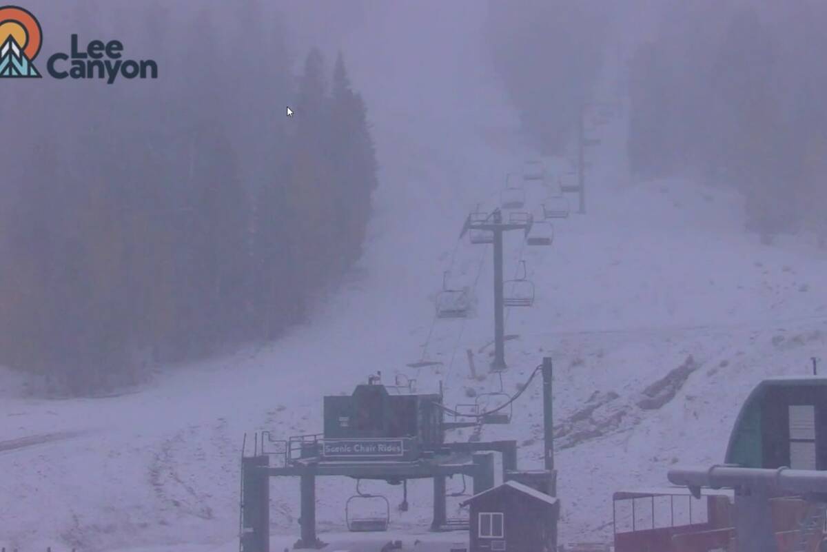
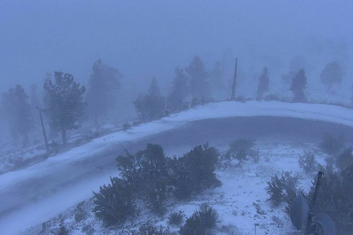
Snow started to fall in the Spring Mountains at about 6 p.m., the weather service said in a tweet.
“Snow has begun on the Spring Mountains!” the tweet stated. “Here we go. Snow is expected to continue through tonight. Expect 2 to 5 inches of total snow above 7000ft.”
6pm - Snow has begun on the Spring Mountains! Here we go. Snow is expected to continue through tonight. Expect 2 to 5 inches of total snow above 7000ft.
Images courtesy of @LeeCanyonLV @LeeCanyon @AlertWildfire pic.twitter.com/YLHTtgv470
— NWS Las Vegas (@NWSVegas) October 12, 2021
About 4" of snow measured so far at 8,000 feet on #MtCharleston.@NWSVegas pic.twitter.com/1RGj3qBgLn
— Mt. Charleston WX (@LeeCanyon) October 12, 2021
After an overnight low of 52, the Las Vegas valley is expected to see breezy conditions on Tuesday with winds of 16 to 23 mph and gusts as high as 34 mph.
Tuesday’s forecast calls for a high of 65 and a low of 57, Lericos said.
Temperatures will continue dropping on Wednesday, when morning temperatures could reach 48 degrees, Lericos said, before warming up the rest of the week.
Mount Charleston also had a winter winter advisory in place from 2 p.m. Monday to 5 a.m. Tuesday in the Sheep Range and Spring Mountains at 7,000 feet in elevation and above. After a daytime high of 54, temperatures will fall to an overnight low of 24 on Mount Charleston with an 80 percent chance of precipitation.
There could be as much as four inches of snow, the weather service said, coupled with wind gusts as high as 60 mph. Drivers should expect hazardous travel conditions along high elevations in Kyle and Lee Canyons due to slippery roads and periods of low visibility because of blowing snow.
Sunny conditions will return to the area on Tuesday with a high of 43 degrees and an overnight low of 26. Highs will remain in the high 40s to low 50s for the rest of the week with overnight lows hovering around 30 degrees.
Contact Lukas Eggen at leggen@reviewjournal.com. Follow @LukasEggen on Twitter. Contact Jonah Dylan at jdylan@reviewjournal.com. Follow @TheJonahDylan on Twitter.