National Weather Service issues winter storm watch for Cajon Pass
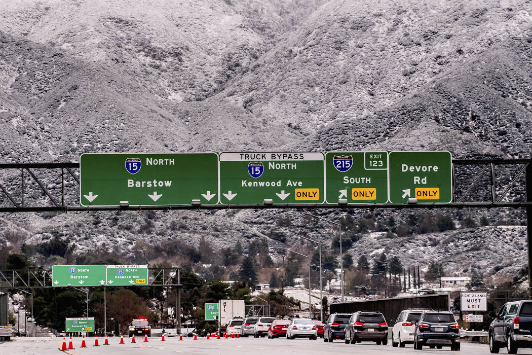


The National Weather Service has issued a winter storm watch for Cajon Pass that could impact travel on I-15 between Las Vegas and Southern California from late Sunday through Tuesday morning.
“The snow level will be low enough to impact the major passes along the I-15 and I-8 by Monday morning,” according to the alert, which was issued by the weather service’s San Diego office.
Total snow accumulation could hit 4 to 8 inches, with up to 15 inches possible, according to the National Weather Service. Snow is expected at elevations above 2,500 feet and heavy snowfall is possible above 3,500 feet.
There are “minor concerns” for mountain passes on I-15 and “more concerns” for Cajon Pass, said Caleb Steele, a meteorologist with the National Weather Service.
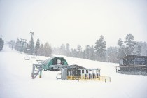
As for the Spring Mountain area, there is a 30 percent chance for snow late Sunday into Monday morning, meteorologist Jenn Varian said.
“As far as accumulation goes, it’s going to be less than 2 inches, if any,” she said.
In the Las Vegas Valley, “we should be dry and fairly clear until Monday,” Steele said. Temperatures on Saturday reached 50, six degrees below the average high temperature for this time of year.
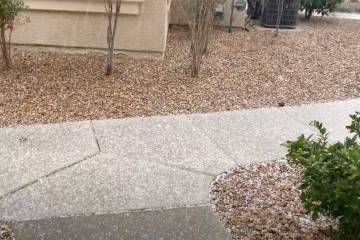
Saturday overnight is expected to drop to 34 degrees, and a portion of Blue Diamond Road near the Red Rock Canyon National Conservation Area was closed because of reports of black ice, the Nevada Highway Patrol said.
The high temperature Sunday is expected to be 48, followed by highs of 50 on Monday, 52 on Tuesday and Wednesday, and 58 on Thursday.
The new year will ring in with an expected high of 39 at midnight on New Year’s Eve, with a windchill at that time making it feel like 37, Varian said.
At Mount Charleston, Saturday’s high is expected to reach 33, while Sunday’s high will probably hit 35.
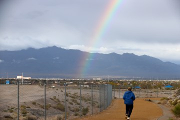
There’s a 20 percent chance of rain forecast on Monday for the Las Vegas Valley. The west side of the valley could even see snow flurries, but they probably won’t stick to the ground, Steele said.
“The storm system is actually sliding pretty far west,” he said, “so it’s only a slight chance right now and it may even miss us.”
Contact Julie Wootton-Greener at jgreener@reviewjournal.com or 702-387-2921. Follow @julieswootton on Twitter. Review-Journal staff writer Katelyn Newberg contributed to this report.