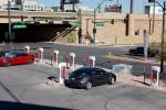
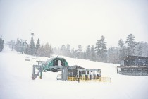
Storms return to Las Vegas, flash flood watch begins Friday
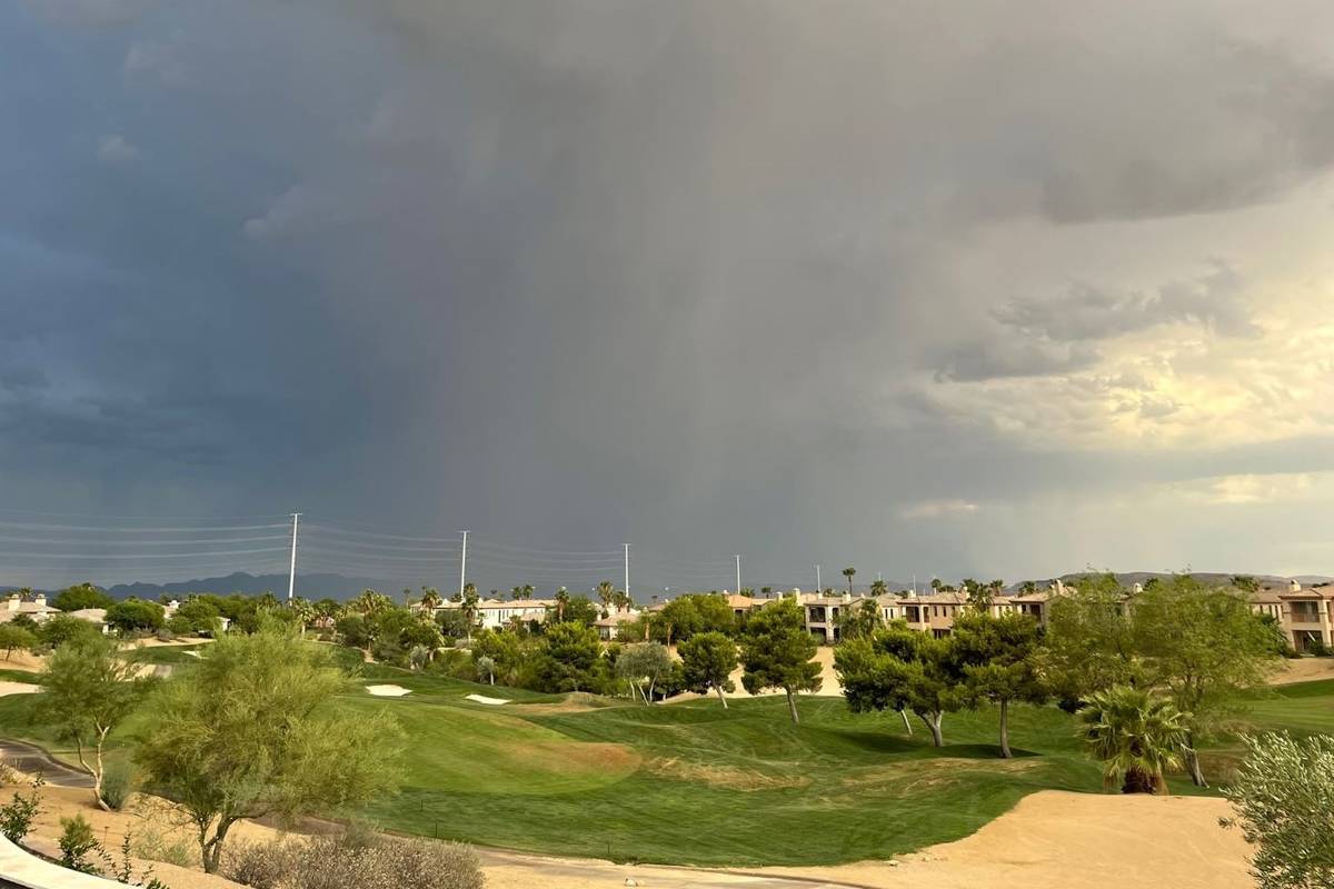
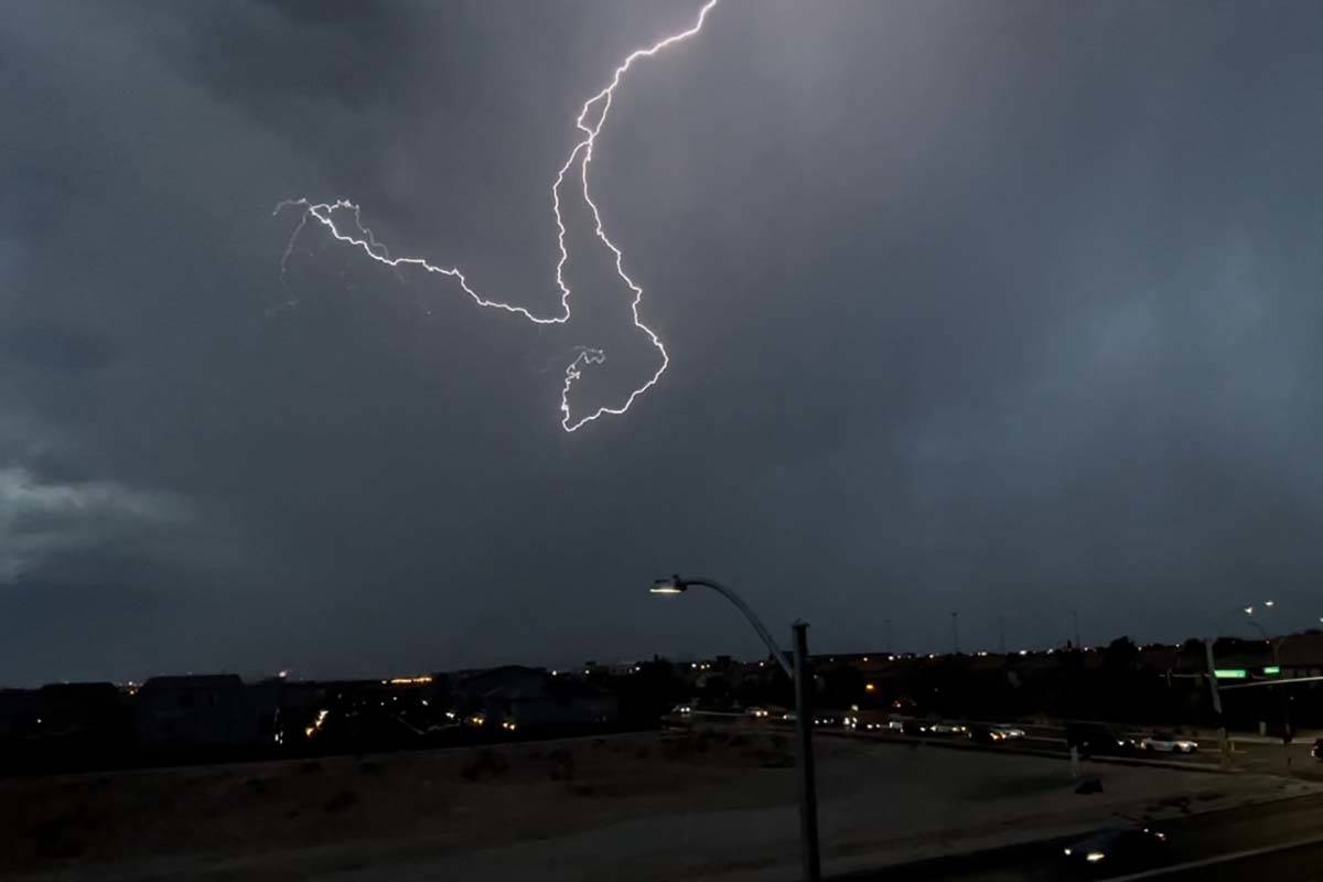


After a few dry days, thunderstorms returned to the Las Vegas Valley on Thursday night.
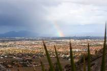
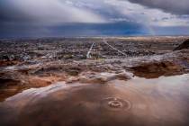
The National Weather Service reported that “heavy rainfall and frequent lightning” hit Centennial Hills. Other parts of the valley, including downtown Las Vegas, have seen rain as well.
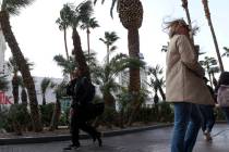
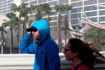
Winds gusts up to 40 mph covered large portions of the Las Vegas Valley as of 7:30 p.m. Thursday, the National Weather Service said.
“The strongest is downtown and it is producing a pretty strong outflow toward Summerlin,” said meteorologist Todd Lericos. “Even Henderson is getting in on the act; it’s just pretty much all over the valley.”
Lericos said the storms are “expected to blow a few things around in the back yard,” but are not expected to do major damage.
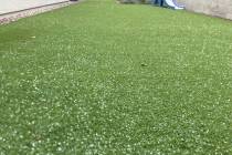
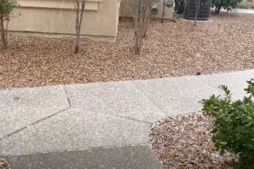
As of 9:30 p.m., rainfall totals ranged from .28 of an inch at the base of the Sheep Range to .59 of an inch near Carey Avenue and West Lake Mead Boulevard, according to the Regional Flood Control District.
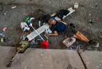
Friday is expected to have a much higher risk of storms and possible flash flooding, according to the weather service. A flash flood advisory begins at noon Friday for the entire region and runs through Sunday morning.
ð§ FLASH FLOOD WATCH ð§
A Flash Flood Watch has been issued for Mohave, Clark, Lincoln, Nye, Esmeralda, Inyo, & parts of San Bernardino counties from 12p Fri-5a Sun.
Storms will bring heavy rain & threats of flash flooding & debris flows.#TurnAroundDontDrown #nvwx #cawx #azwx pic.twitter.com/pICW69JlLb
— NWS Las Vegas (@NWSVegas) July 29, 2021
Contact Marvin Clemons at mclemons@reviewjournal.com. Follow @Marv_in_Vegas on Twitter.