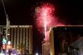
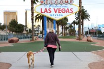
Las Vegas wind gust close to 40 mph as front goes through


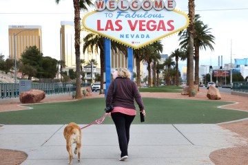
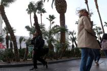
Wind gusts close to 40 mph have been hitting the Las Vegas Valley on Friday afternoon.
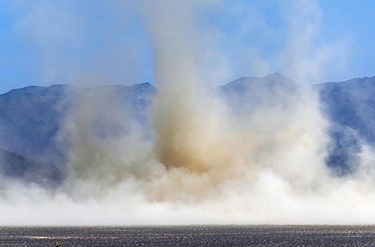
Winds to 60 mph were forecast for north of the valley but blustery conditions were being felt everywhere.
As of 4:30 p.m., North Las Vegas Airport had recorded a gust of 39 mph with a 38 mph gust at Henderson Executive Airport. Red Rock National Conservation Area reached 37 and Harry Reid International Airport had topped out at 35 mph.
🪁 Windy weather returns tomorrow so secure any loose items you may have outdoors. Strongest winds will generally be north of Las Vegas, but it'll be blustery just about everywhere. #nvwx #cawx #azwx 🪁 pic.twitter.com/dPFLZhsSQE
— NWS Las Vegas (@NWSVegas) June 16, 2022
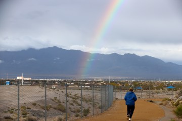
In Las Vegas, patchy, blowing dust was expected late in the afternoon.
The Friday high reached 101 at the airport.
Friday night will be mostly clear, with a Saturday morning low around 73. Southwest winds of 20 to 25 mph will decrease to 11 to 16 mph after midnight. Winds could gust as high as 37 mph.
With the cold front moving out the high pressure, Saturday will be sunny with a high near 94. A south southwest/wind of 13 to 18 mph will rise to 19 to 24 mph in the afternoon. Winds may reach 37 mph.
The Sunday morning low will be around 67 before rising to a high near 91.
Monday will begin a warming trend with a high near 96 before reaching around 107 by Thursday.
Red flag warning
A red flag warning is in effect for Southern Nevada and northwest Arizona from 11 a.m. to 11 p.m. Friday and 11 a.m. to 9 p.m. Saturday.
Critical fire conditions are primarily expected in the late morning through early evening hours. Sustained winds of 20 to 30 mph with gusts to 50 mph are expected. Stronger wind gusts are possible across the Southern Great Basin.
Minimum relative humidity values will be 5 to 12 percent.
Contact Marvin Clemons at mclemons@reviewjournal.com. Follow @Marv_in_Vegas on Twitter.