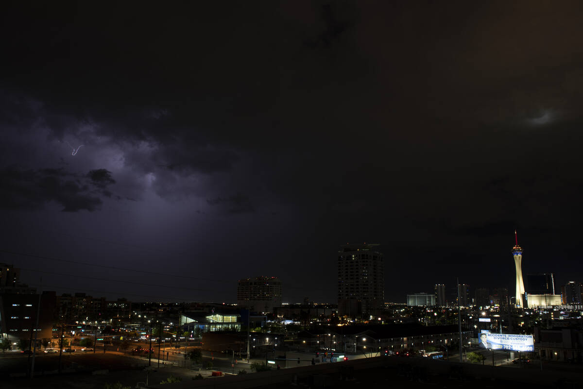
Isolated storms possible overnight in Las Vegas area
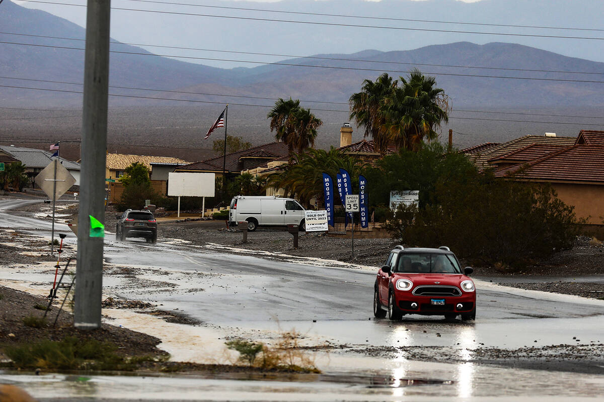
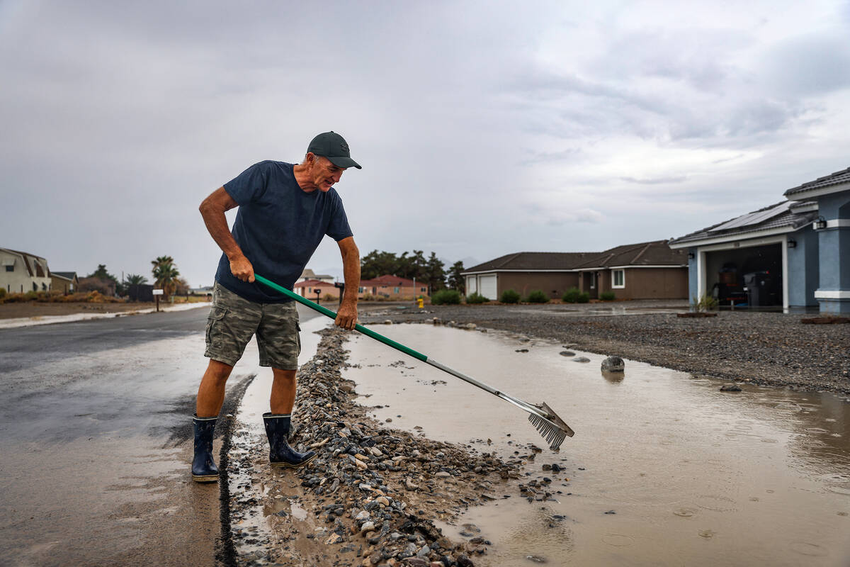
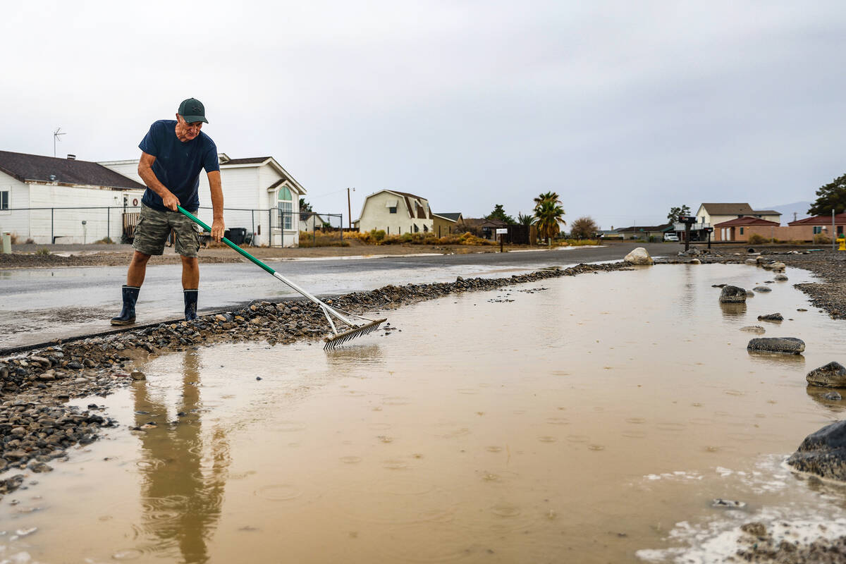


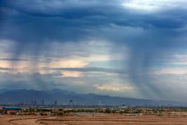
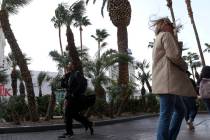
A fourth day of monsoonal storms pushed across the Las Vegas region Sunday afternoon, leaving some flooding in its wake.
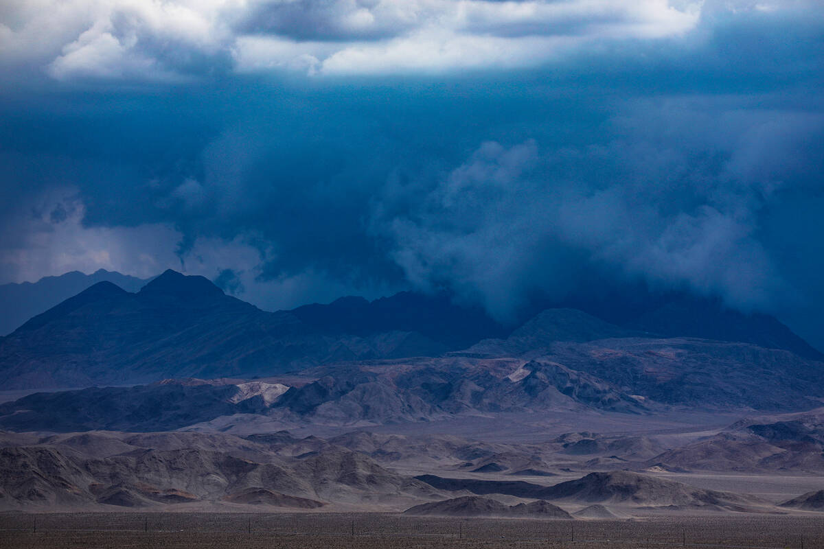
Storm cells to the south and moving generally toward Las Vegas could add moisture and could arrive yet Sunday evening or overnight.
“It looks like it should be a quiet night,” National Weather Service meteorologist Matt Woods said late Sunday. “There are still low changes for an isolated shower.”
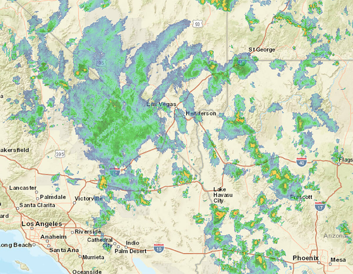
At 9:30 p.m., light showers were southeast of Henderson and heading toward Boulder City and the east side of the valley. The showers originated in Kingman, Arizona, which was hit with severe weather much of Sunday.
There were also some small, isolated showers northwest of Las Vegas, Woods said.
Why so many flash flood warnings today?
Not only are there a lot of storms, but they are producing torrential downpours. One site near Kingman measured over 1" of rain in just 15 minutes!
Flash flood warnings remain in effect for most of our CA and AZ areas! #CAwx #AZwx #NVwx pic.twitter.com/Ew2Hkb8zS6
— NWS Las Vegas (@NWSVegas) August 1, 2022
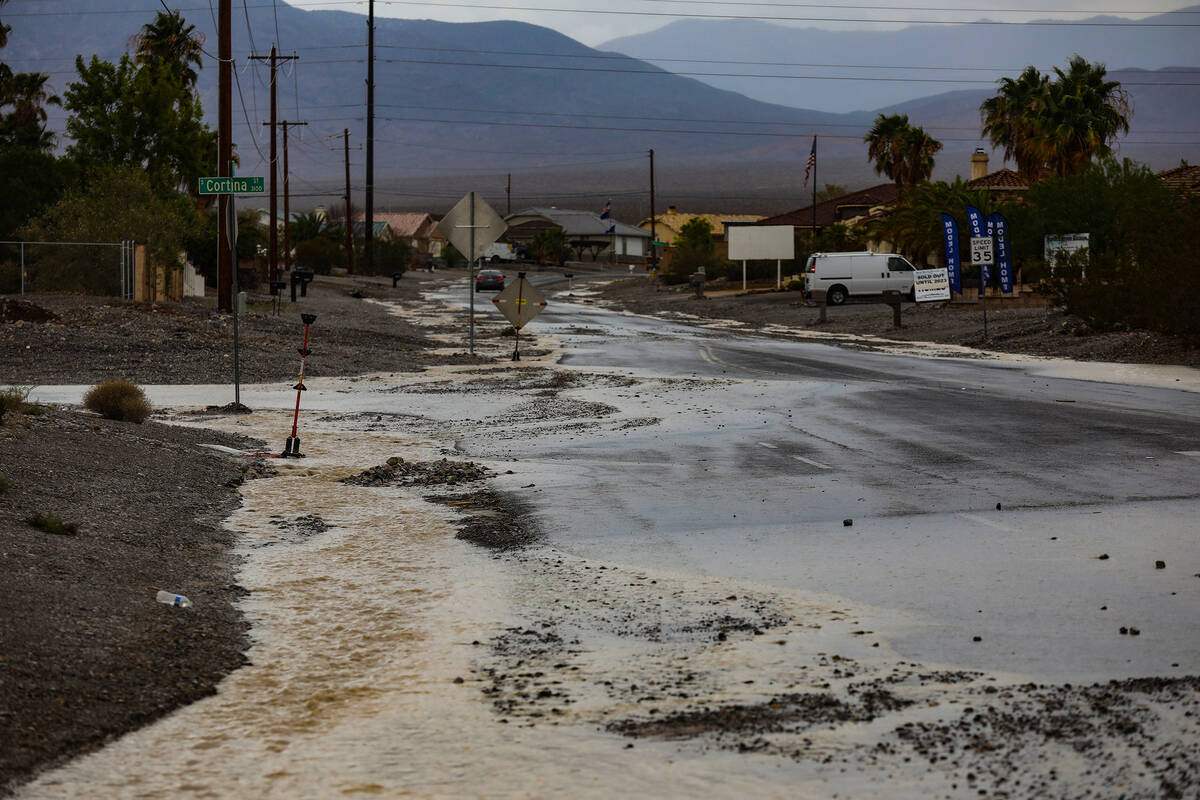
The rain came across the valley in two waves from southeast to northwest. The first was about 11 a.m. and the second around 1:30 p.m. Storms in the past few days came primarily from the north.
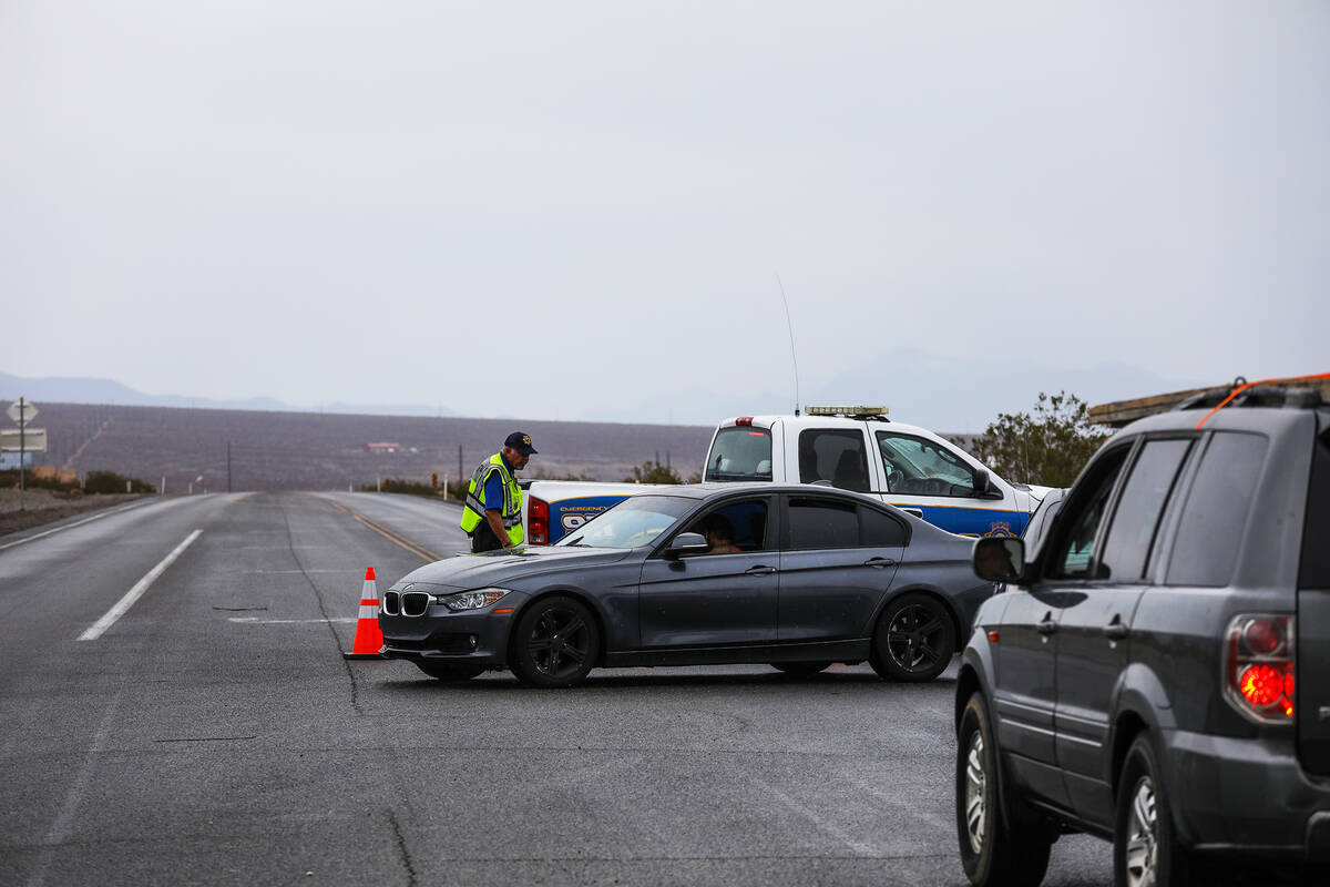
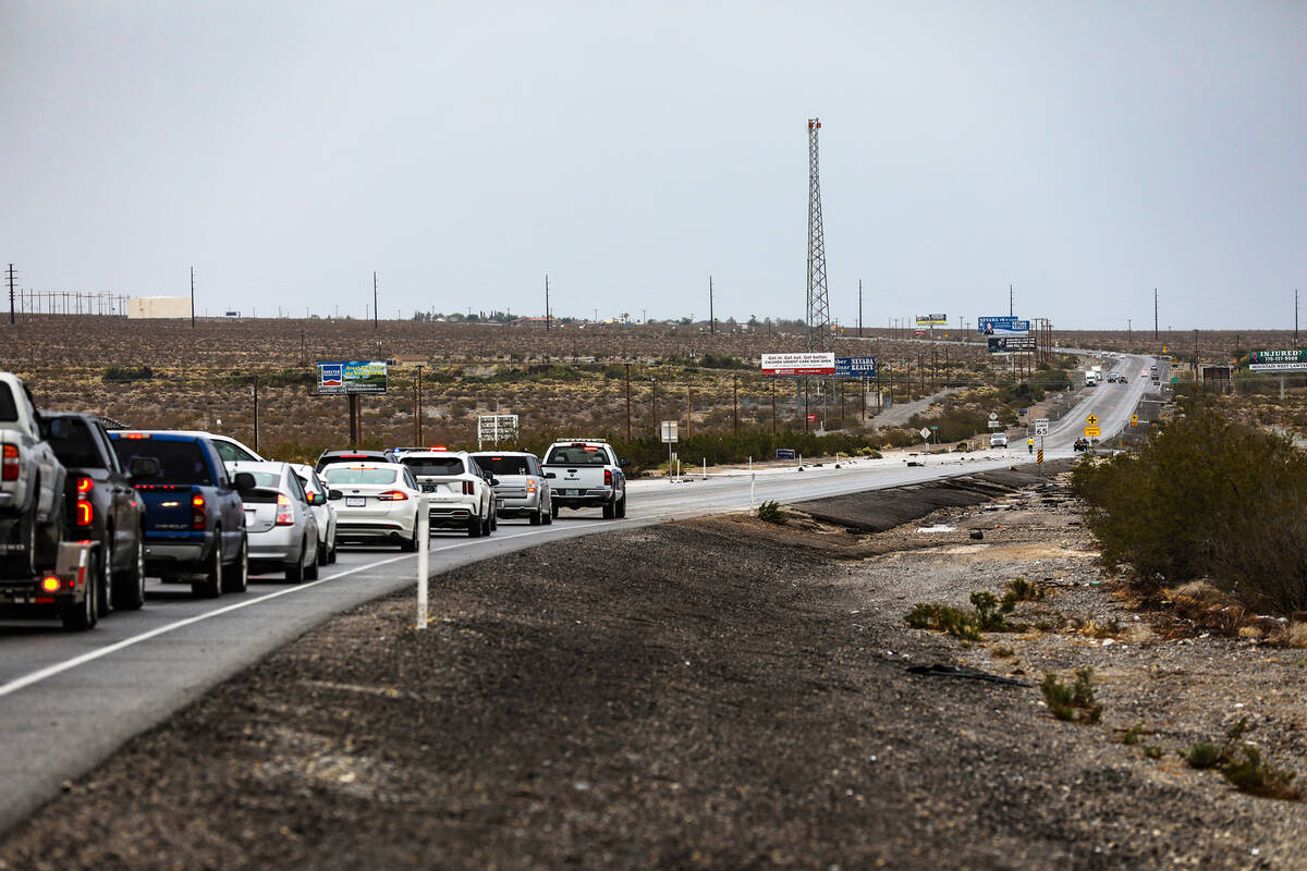
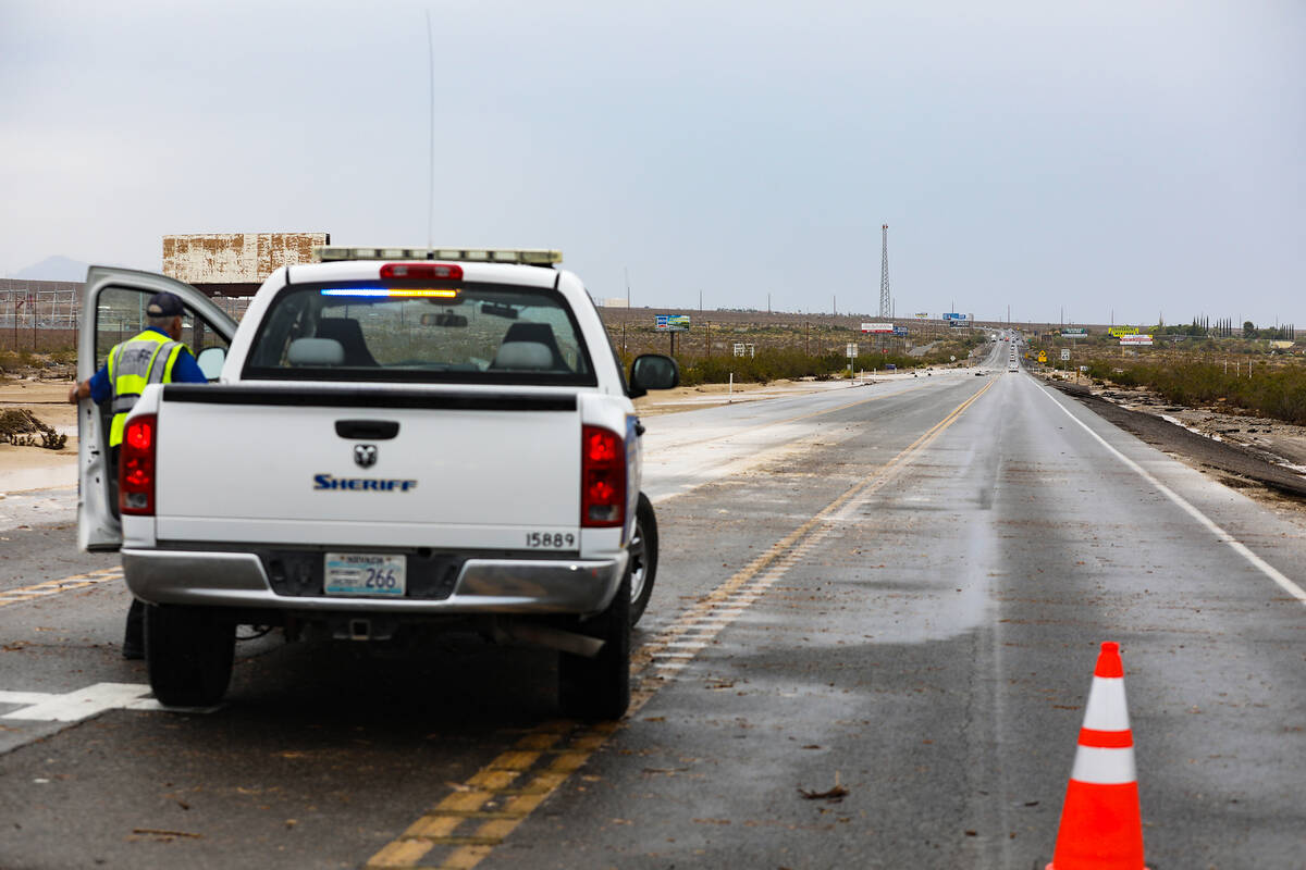
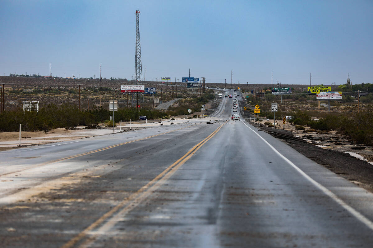
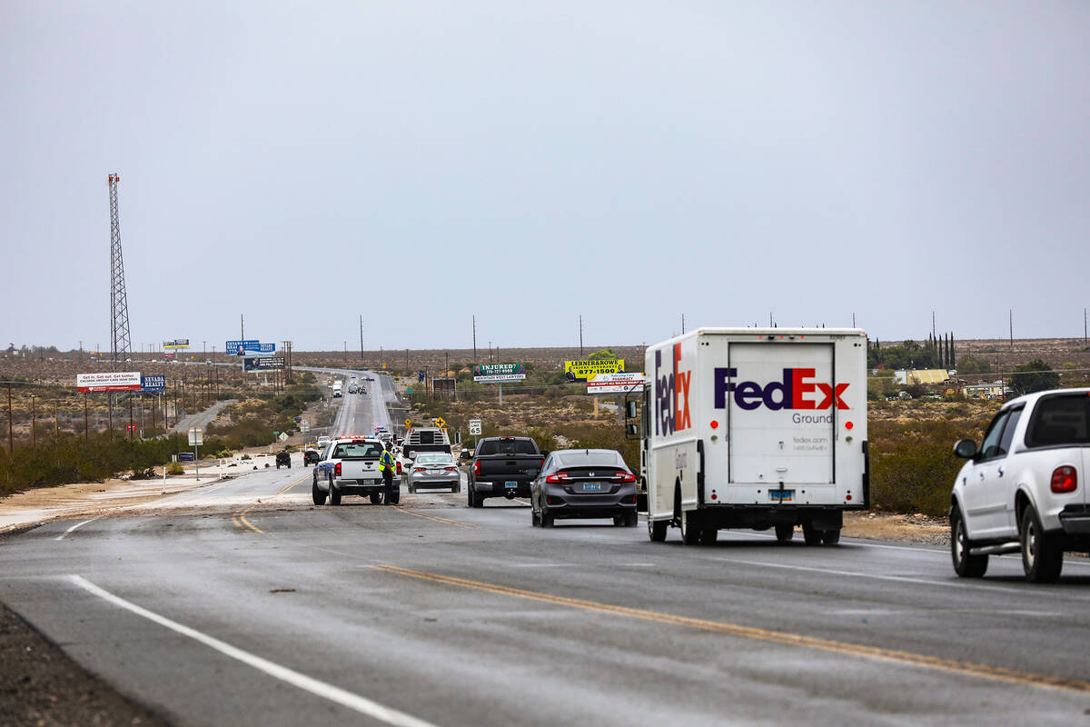
Pahrump received heavy rain along the southern edge of the Spring Mountains, resulting in the temporary closure of State Route 160 in both directions.
Flights were delayed an average of 75 minutes at Harry Reid International Airport. As of 6 p.m., 44 flights had been cancelled and 207 had been delayed, according to FlightAware.
On Friday night, 45 residents were left with no home when a quick windstorm sent fir trees into several apartments east of downtown.
SOUTH VALLEY FLOOD WARNING: Some heavy rain cells in the south Las Vegas Valley prompted a flash flood warning until 1:45 p.m. Sunday. The storm is moving northwest toward the Spring Mountains. We saw minor ponding in Silverado Ranch area, traffic lights malfunctioning. #RJNow pic.twitter.com/Fs1dARpyla
— James Schaeffer (@jamesmschaeffer) July 31, 2022
Late Sunday morning, a storm cell dumped .87 of an inch in the Pittman East Basin, just east of Lion Habitat Ranch, around 11:30 a.m.
The other big rainfalls showed .59 of an inch at Desert Bloom Park near Pollock and Windmill, .43 at Green Valley North, .35 at Duck Creek above Sunset and .24 near Sunset Park.
The aftermath of the thunderstorm that hit the Henderson Executive Airport Sunday AM. This is St Rose & Raiders Wy. The water was originally covering the median barriers. Police are blocking one side of the road off. More rain is coming. #lasvegas #flooding #monsoon2022 pic.twitter.com/of5Q7Wk0oJ
— Hawkpilot9AL (@JeffreyLustick) July 31, 2022
In the first wave, floodwaters surged on Raiders Way between the Las Vegas Raiders practice facility and Henderson Executive Airport. The medians were under water for a brief time.
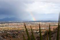
The Sheep Range north of Las Vegas also received heavy rain with Indian Springs and Hayford Peak under a flash flooding warning in the middle of the afternoon.
Flooding closed 160 in Pahrump
About 3 p.m., State Route 160 was flooded and temporarily closed in both directions in Pahrump east of Gamebird Road.
Deputies from the Nye County Sheriff’s Office blocked the road at East Dandelion, about 1.5 miles from Gamebird.
Later, a pilot car was being used to guide motorists through floodwaters.
Based on radar, Pahrump received the most intense storm cells while nearly all other areas had light to moderate shower activity.
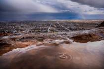
Getting reports of flash flooding and mudslides impacting roads in Death Valley.
Travel is not recommended in this area, but if you must, use extreme caution. Never enter a flooded roadway. Turn around, don't drown! #CAwx pic.twitter.com/Pd5uFQuFDb
— NWS Las Vegas (@NWSVegas) July 31, 2022
Mudslides in Death Valley
The National Weather Service said flooding and mudslides were affecting roads in Death Valley National Monument.
At 7:30 p.m., authorities said all roads in and out of Death Valley National Park remain closed from heavy rainfall earlier Sunday. Travel was not recommended. Several creeks along the foothills of the southern Sierra Nevada may also be flowing with high water. Some roads sustained damage and are closed.At 7 p.m., Pahrump was the only Nevada area under a flash flood warning. It was scheduled to last until 10 p.m. Warnings were also effective in southeast California and northwest Arizona.
Roads within the park have been damaged. This photo comes from the Kelbaker Road/Mojave Road intersection. Please avoid driving through the park and use extreme caution if it can’t be avoided. More updates will be available on https://t.co/CreyXDUtZ0.
NPS photo pic.twitter.com/OakfsUmWF0
— Mojave National Preserve (@MojaveNPS) July 31, 2022
The storms damaged several roads at the Mojave National Preserve south of Primm in California.
Showers possible tonight, Monday
The latest weather service forecast called for a 40 percent chance of scattered showers and thunderstorms, mainly before 10 p.m. A partly cloudy was expected with a low around 81.
On Monday, a 40 percent chance of scattered showers and thunderstorms are forecast, mainly after 1 p.m. A mostly sunny sky, with a high near 98 is expected.
Contact Marvin Clemons at mclemons@reviewjournal.com. Follow @Marv_in_Vegas on Twitter.
RELATED
Casinos not spared by winds, rain in Las Vegas
LOOKING BACK: Historic floods in Las Vegas Valley — PHOTOS
Heavy rain causes flooding in Las Vegas Valley — PHOTOS