Chilly week forecast for valley after Saturday windstorm


Sunday is forecast to offer about half the clout that Saturday’s gusty windstorm delivered to the Las Vegas Valley.
However, temperatures will be considerably cooler.
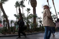
A high near 67 with steady north-northwest winds of 7-17 mph gusting to 26 mph are forecast by the National Weather Service.
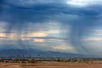
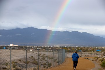
By comparison, a Saturday high of 83 was reached in the early afternoon before gradually falling to 66 around midnight. Gusts up to 65 mph at Red Rock Canyon were recorded with similar gusts into the 50s at most airports for more than a dozen hours. Blowing dust covered most mountain ranges while visibility was about half of normal.
Perhaps most importantly, air quality in several parts of the central valley was rated moderate to very hazardous much of the day.
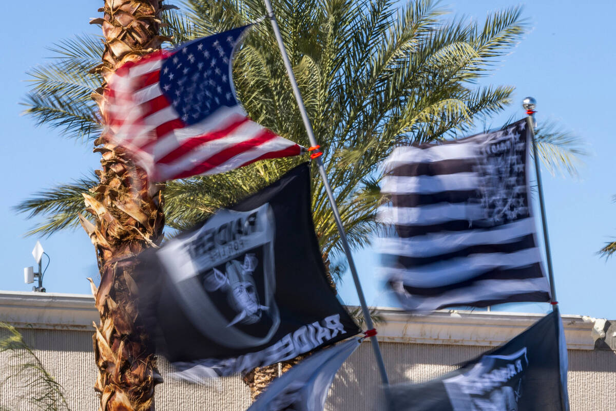
A cold front from the Pacific Northwest moved into the valley around midnight, switching the prevailing winds from a south-southwest direction to north-northwest.
The Monday low should be near 47 before an afternoon high near 67.
Daily high temperatures next week will be in the low 70s with morning lows around 50. No precipitation is in the forecast.
Contact Marvin Clemons at mclemons@reviewjournal.com. Follow @Marv_in_Vegas on Twitter.