Although there’s a 10 percent chance of rain Monday in the Las Vegas Valley, rain gear probably won’t be necessary.
Although there’s a 10 percent chance of rain Monday in the Las Vegas Valley, rain gear probably won’t be necessary.

A perfect Halloween weather weekend in Las Vegas is forecast by the National Weather Service.

Gradual warming will bring Southern Nevadans back to above-normal temperatures by Halloween, but not before some rural residents feel a bit of frost.
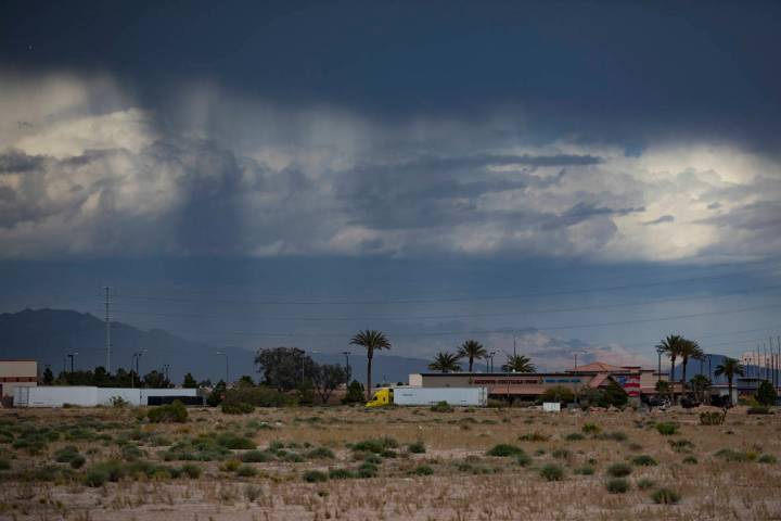
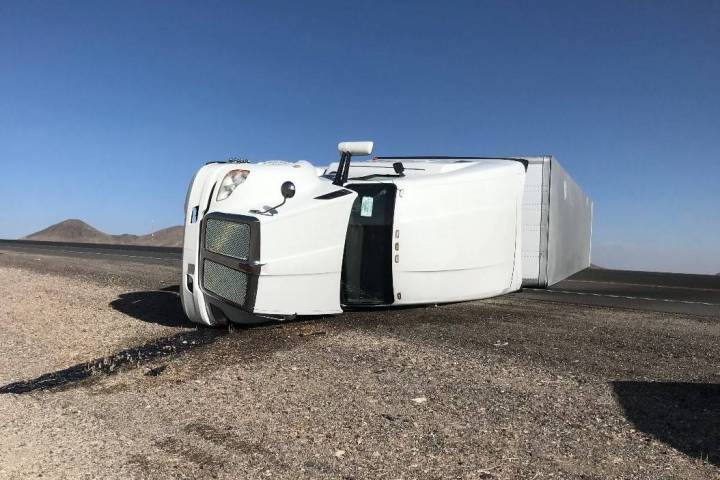
The polar cold front and associated wind has caused a dust storm warning to be issued for the Eldorado Valley southwest of Boulder City.
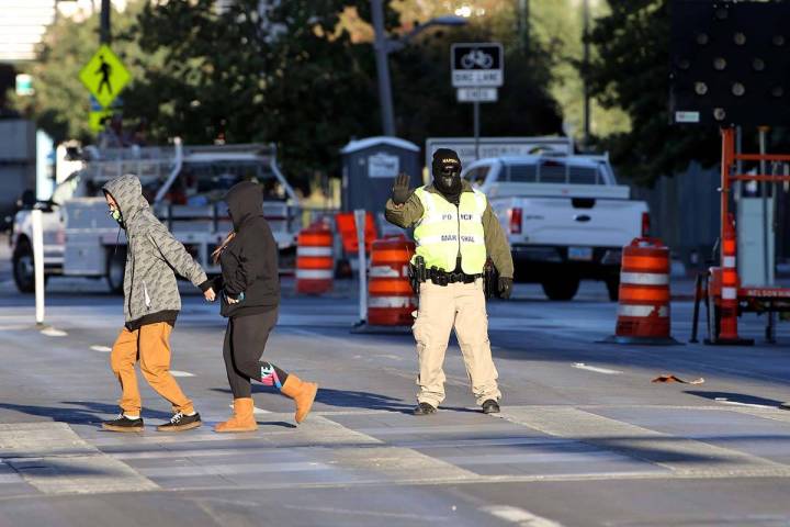
It’s going to be cold in Las Vegas on Monday morning. But don’t get too excited;, it’s just a one-day cold front – the weather is set to heat back up by Halloween.
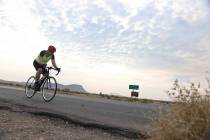
Enjoy a sunny weekend with afternoon high temperatures in the upper 80s … and then get ready for a chilly Monday.
Highs well above normal are expected in the Las Vegas Valley before a frosty blast of fall arrives late this weekend.
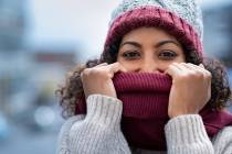
Do you know where your winter hat, coat and gloves are? Or maybe an umbrella that hasn’t been used in six months or longer?
Another Las Vegas heat record will fall in 2020, the National Weather Service says.
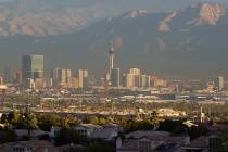
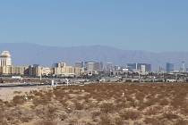
A northerly wind flow should allow Las Vegas skies to clear a bit over the next few days, according to the National Weather Service.

One of the hottest summers in Las Vegas history appears to finally be at an end — almost.

Monsoon season came and went without any measurable rain in Las Vegas, tying a record set more than 75 years ago.
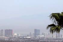
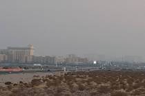
A shift in winds should make smoke and haze less of a factor in the Las Vegas sky, according to the National Weather Service.

Smoke, haze, temperatures about 10 degrees above normal and no rain remain the main factors in the Las Vegas weather forecast, the National Weather Service says.
Las Vegas might have another heat record for 2020 before the week ends.