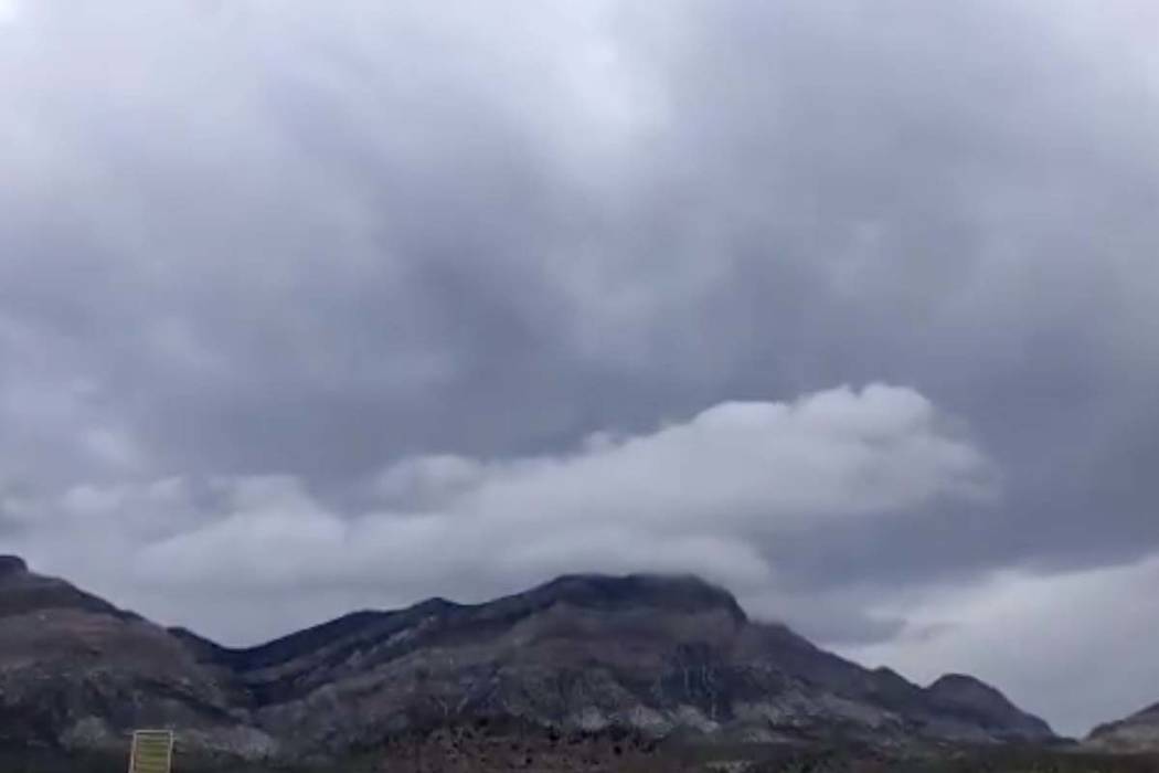
Record rainfall for May in Las Vegas Valley; more rain on the way

A record rainfall of nearly a half-inch soaked the Las Vegas Valley on Thursday and more of the same is forecast for Friday, although to a lesser degree.
Friday had a 60 percent chance for heavy rain before 11 a.m. However, rain chances will decrease during the afternoon, National Weather Service meteorologist Jenn Varian said.
Weekend Outlook 😎
☔ Rain isn't over just yet!
60% chance of rain for #LasVegas today that will decrease to 30% this afternoon, but extend thru Sunday. 🌦
Below-average temps will bounce back to seasonal norms by the beginning of the work week.#VegasWeather #NvWx #AzWx #CaWx pic.twitter.com/dKLdNRAzCg— NWS Las Vegas (@NWSVegas) May 10, 2019
A high of 76 degrees is expected Friday, more than 20 degrees below the average high temperature, Varian said.
Early Friday, the weather service tweeted that McCarran International Airport had received 0.40 of an inch of rain in 24 hours, making this the fifth rainiest May on record.
The normal annual rainfall total of 4.19 inches at McCarran was surpassed on Friday, just 129 days into the year.
So far this year, 4.51 inches of rain has fallen at McCarran.
The rain caused the first rainout at the new Las Vegas Ballpark in Summerlin Thursday night. The Aviators won the rain-shortened game over the Salt Lake Bees, 7-5.
☔ RAINY MAY! ☔
Las Vegas Average Annual Rainfall: 4.19"
🌧 Thanks to last night's 0.71" of rain, 2019 has received 4.51", surpassing the ANNUAL AVERAGE! 👏
In under 12 hrs, May 2019 became the 5th wettest May on record, & May isn't over yet! 😱#RainRecords #VegasWeather #NvWx pic.twitter.com/szKeUfgguS— NWS Las Vegas (@NWSVegas) May 10, 2019
Weekend clearing
On Saturday, the valley will have a 30 percent chance for rain and a high of 79.
Sunday, rain chances will slightly decrease to 20 percent, with mostly clear skies by Sunday night, Varian said. The high should reach 86 degrees.
The 0.45 inches recorded Thursday at McCarran International Airport surpassed the 42-year-old record of 0.15 inches that fell May 9, 1977, according to the weather service.
Roads drying out
Motorists were facing some slick roads on their Friday morning commute while other roads were mostly dry.
In the Spaghetti Bowl, a jack-knifed semi was blocking traffic on southbound U.S. Highway 95 near Interstate 15. Traffic was stopped about 5 a.m. so that crews could move the truck. Drivers were facing delays on both routes.
No injuries were reported.
No crash totals
Although no crash totals were available from law enforcement overnight, motorists should take extra care and allow more time to get to their destinations.
Flash flooding concerns
Flash flooding remains possible across much of Southern Nevada and eastern California Friday and into the weekend.
The weather service said a system developing over California will “bring copious amounts of precipitation” to the southern Great Basin, Sierra and parts of the Mojave Desert region through Friday.
In higher terrain, precipitation rates and snowmelt may also increase flood concerns. Rainfall coverage will decrease after
Friday, but isolated flash flooding will remain possible through the weekend, the advisory stated.
Kyle Canyon power outage
As of 5:15 a.m. Friday, the NV Energy outage website indicated about 380 customers without power along Kyle Canyon Road near Mount Charleston.
Damage to NV Energy equipment was listed as the reason for the outage. It was unknown if the situation was weather related. The power was restored about 11:45 a.m.
Contact Marvin Clemons at mclemons@reviewjournal.com.
Contact Jessica Terrones at jt