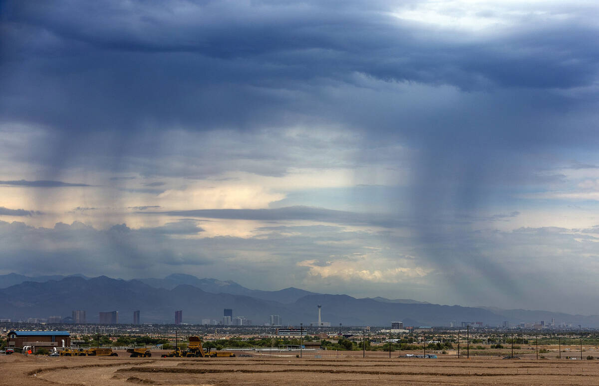
Rain, flood risk to diminish as Friday progresses, forecast says

The biggest chance of rain and potential flash flooding will be Friday morning, says the National Weather Service.
Rain skirted the valley Thursday evening, and it was possible a few overnight storms could have developed. The biggest rainfall as of 10 p.m. was .20 of an inch at Sheep Peak north of the valley.
“The biggest chance for rain is Friday morning and then lesser as the afternoon goes on,” said meteorologist Morgan Stessman.
A flood watch was issued through Friday at 11 p.m. Late Thursday, the advisory was amended to drop most of the Las Vegas Valley from the watch area.
The watch includes portions of northwest Arizona, southeast California and Nevada, including Lake Mead National Recreation Area, northern Clark County, Lincoln County, Spring Mountains-Red Rock Canyon and southern Nye County.
A high pressure system over the Four Corners area has been sending moisture to the west while a less powerful low pressure system in Southern California could send some cells west toward Las Vegas.
The chance of precipitation is 35 to 40 percent, Stessman said.
The latest forecast for Las Vegas calls for scattered showers and storms mainly before 2 p.m. Friday, some of which could produce heavy rain. The sky will be mostly sunny with a high near 97. Winds may gust as high as 18 mph.
The weather service warned in a tweet that heavy rains are possible primarily in areas northwest of Interstate 15 Friday. Roadway rockslides and flash flooding are main concerns for the area. Thunderstorms are expected to be primarily in high terrain areas.
The monsoon risk is reduced Saturday and Sunday before rising on Monday through much of next week.
A Saturday high near 100 is forecast with a 103 on Sunday. The monsoon weather has pumped up relative humidity levels into the 40 percent range, more than double the norm.
Contact Marvin Clemons at mclemons@reviewjournal.com. Follow @Marv_in_Vegas on Twitter.