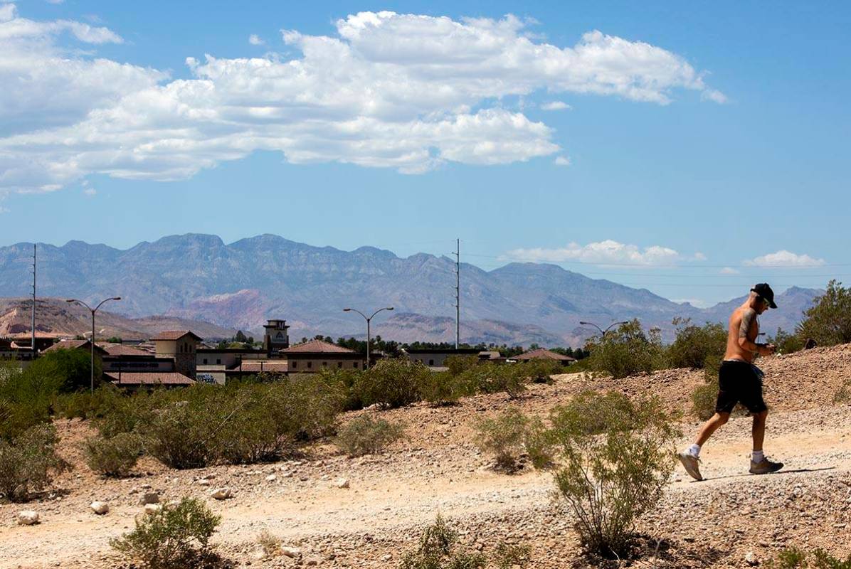
Prolonged Las Vegas heat wave to begin; monsoon conditions absent

As a high pressure sits over Southern Nevada, the hottest weather of the summer so far will envelop the Las Vegas Valley over the next week, perhaps longer.
Friday’s forecast high is 100, just about normal, according to the National Weather Service forecast. West winds will be about 6 mph, switching to east-northeast in the afternoon.
Temperatures will be heating up this first weekend of Summer. Summer officially begins at 243 pm PDT Saturday afternoon. Practice Heat Safety! If you have outdoor plans, pack extra water, sunscreen, and eye-protection (i.e. sunglasses). #azwx #cawx #nvwx pic.twitter.com/XjfKZGBsjr
— NWS Las Vegas (@NWSVegas) June 19, 2020
Temperatures will rise to about 104 on Saturday, the first day of summer, and 106 on Sunday. Winds will remain light.
The overnight lows will be around 80 degrees.
Wednesday probably will be the hottest day of the heat spell, with a forecast high of 110.
“It looks like all next week and perhaps into the weekend we’ll be in the 107-to-110 range,” said weather service meteorologist Barry Pierce, adding that it did not appear that monsoon conditions would develop at least through the end of the month.
Contact Marvin Clemons at mclemons@reviewjournal.com or 702-863-4285. Follow @Marv_in_Vegas on Twitter.