Death Valley trail treats hikers to splendid views


The hike from Zabriskie Point to Golden Canyon is a moderately strenuous one, but it rewards the hearty with views of some of Death Valley National Park’s finest geologic formations.
This hike is most often done as a point-to-point of 2½ miles, in which you will lose about 800 feet of elevation by the time you reach the Golden Canyon trailhead, located at 140 feet below sea level.
If you don’t have someone to pick you up at Golden Canyon, located along Badwater Road, just hike as far as you feel comfortable, returning the way you came.
The upper trailhead is located at an elevation of 650 feet, on the northwest side of the parking area for Zabriskie Point.
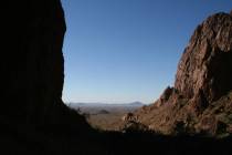
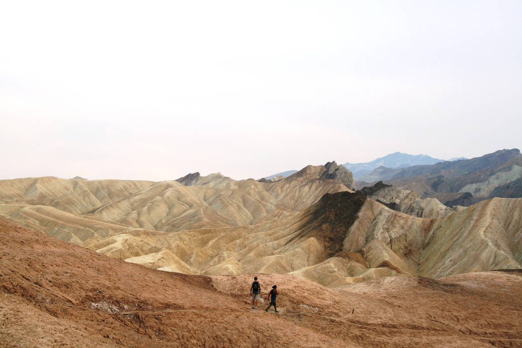
Before you set out on the trail, take the five-minute stroll up to the point itself. It overlooks the vast labyrinth of badlands where you will be hiking and provides grand, far-reaching views to the west and the Panamint Mountains.
These badlands are in what is called the Furnace Creek formation. This area was underwater some 9 million years ago. Over a span of a million years, sediments collected: mud, gravel, ash, saline. After the lake dried up, uplift, erosion and tilting took place, creating the maze of ravines and gullies.
The trail is faint, and it’s very easy to get lost, so it’s important to pay close attention to the signs along the way. The trail undulates quite a bit in the first mile and a half, but once you skirt the prominent formation known as Manly Beacon, it’s pretty much all downhill.
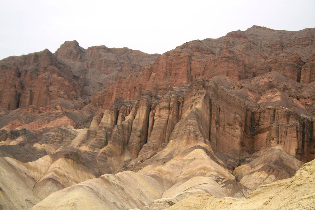
A lava caprock deposited by volcanic eruptions 3 million to 5 million years ago protected the layers underneath from erosion, leaving Manly Beacon standing high above its eroded surroundings.
The formation is named after William Manly, who helped rescue several families of pioneers from Death Valley during the 1849 California Gold Rush.
After Manly Beacon, you will probably start to see hikers coming up from the Golden Canyon trailhead.
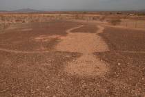
As you hike through here, you might see evidence of an old road. In 1976, a powerful four-day storm caused a severe flash flood, leaving mud and boulders but taking most of the road with it. It’s a good reminder to save this hike for another day if it’s raining or threatening to.
If you go
Directions: From the Furnace Creek Visitor Center on California Route 190, drive south for 4.7 miles and turn right into the Zabriskie Point parking area. For the Golden Canyon trailhead, drive south from the visitor center on Route 190 for 1.2 miles and go right on Badwater Road. Drive for 2 miles and go left onto a marked access road.
What to pack: Hiking shoes or sneakers with good tread, sunscreen, hat, sunglasses and plenty of water, a few trail snacks, and a headlamp in case you get delayed.
Length of stay: Day hike.